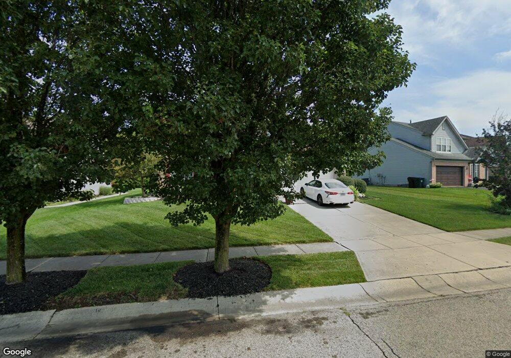
1931 Crest Rd Cincinnati, OH 45240
Estimated Value: $315,090 - $374,000
4
Beds
3
Baths
1,976
Sq Ft
$178/Sq Ft
Est. Value
About This Home
This home is located at 1931 Crest Rd, Cincinnati, OH 45240 and is currently estimated at $351,273, approximately $177 per square foot. 1931 Crest Rd is a home located in Hamilton County with nearby schools including Pleasant Run Elementary School, Pleasant Run Middle School, and Northwest High School.
Ownership History
Date
Name
Owned For
Owner Type
Purchase Details
Closed on
Jan 4, 1996
Sold by
Meyer Douglas H and Meyer Sandra L
Bought by
Crawford Donald B and Crawford Kelle M
Current Estimated Value
Home Financials for this Owner
Home Financials are based on the most recent Mortgage that was taken out on this home.
Original Mortgage
$129,400
Outstanding Balance
$3,488
Interest Rate
7.28%
Estimated Equity
$347,785
Purchase Details
Closed on
Sep 20, 1995
Sold by
Drees Cobblestone Joint Venture
Bought by
Meyer Douglas H and Meyer Sandra L
Create a Home Valuation Report for This Property
The Home Valuation Report is an in-depth analysis detailing your home's value as well as a comparison with similar homes in the area
Home Values in the Area
Average Home Value in this Area
Purchase History
| Date | Buyer | Sale Price | Title Company |
|---|---|---|---|
| Crawford Donald B | -- | -- | |
| Meyer Douglas H | -- | -- |
Source: Public Records
Mortgage History
| Date | Status | Borrower | Loan Amount |
|---|---|---|---|
| Open | Crawford Donald B | $129,400 |
Source: Public Records
Tax History Compared to Growth
Tax History
| Year | Tax Paid | Tax Assessment Tax Assessment Total Assessment is a certain percentage of the fair market value that is determined by local assessors to be the total taxable value of land and additions on the property. | Land | Improvement |
|---|---|---|---|---|
| 2024 | $4,317 | $80,371 | $15,400 | $64,971 |
| 2023 | $4,267 | $80,371 | $15,400 | $64,971 |
| 2022 | $4,175 | $64,138 | $13,188 | $50,950 |
| 2021 | $4,216 | $64,138 | $13,188 | $50,950 |
| 2020 | $4,164 | $64,138 | $13,188 | $50,950 |
| 2019 | $3,902 | $53,449 | $10,990 | $42,459 |
| 2018 | $3,509 | $53,449 | $10,990 | $42,459 |
| 2017 | $3,371 | $53,449 | $10,990 | $42,459 |
| 2016 | $3,199 | $49,280 | $11,781 | $37,499 |
| 2015 | $3,225 | $49,280 | $11,781 | $37,499 |
| 2014 | $2,912 | $49,280 | $11,781 | $37,499 |
| 2013 | $2,821 | $48,314 | $11,550 | $36,764 |
Source: Public Records
Map
Nearby Homes
- 2188 Broadhurst Ave
- 2465 Owlcrest Dr
- 1863 W Kemper Rd
- 12052 Doe Run Ct
- 1923 Centerbrook Ct
- 11478 Ramondi Place
- 12057 Brookway Dr
- 1810 W Kemper Rd
- 11728 Elkwood Dr
- 12080 Regency Run Ct Unit 4
- 11565 Regency Square Ct
- 11995 Wincanton Dr
- 2545 Haverknoll Dr
- 2617 Haverknoll Dr
- 12120 Regency Run Ct
- 11825 Cedarcreek Dr
- 2531 Retford Dr
- 11872 Elmgrove Cir
- 11666 Elkwood Dr
- 12181 Regency Run Ct