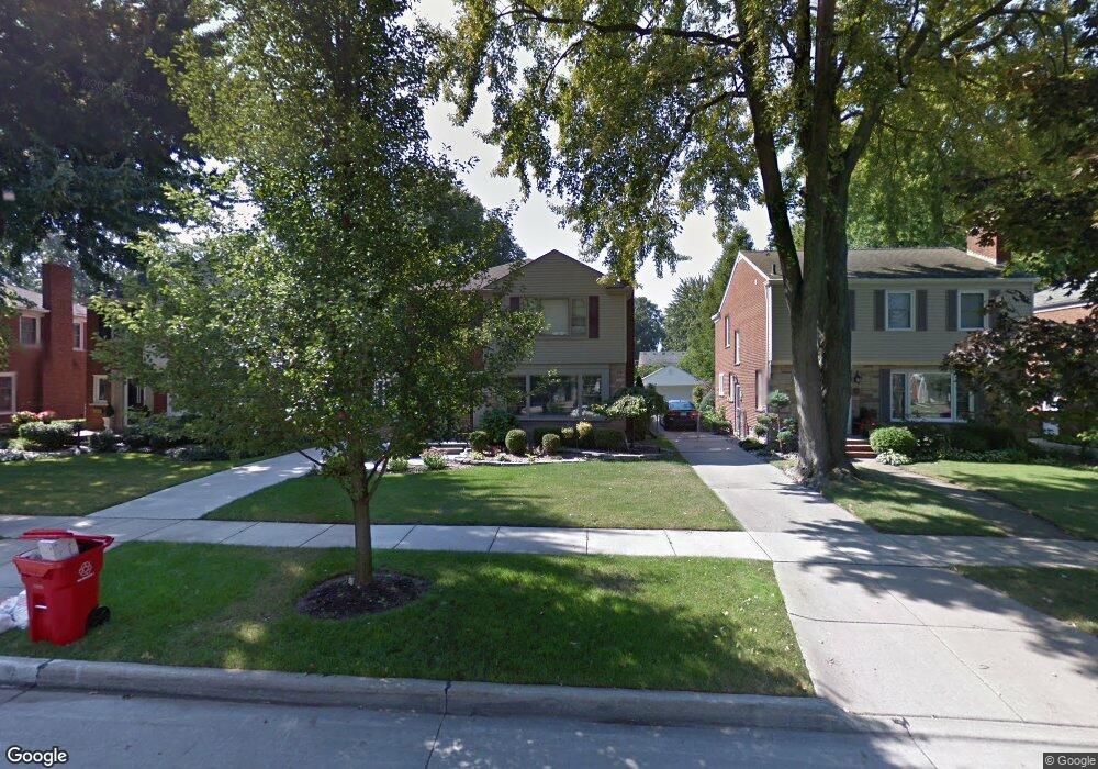
1931 Littlestone Rd Grosse Pointe Woods, MI 48236
Estimated Value: $349,000 - $396,000
3
Beds
2
Baths
2,067
Sq Ft
$179/Sq Ft
Est. Value
About This Home
This home is located at 1931 Littlestone Rd, Grosse Pointe Woods, MI 48236 and is currently estimated at $370,514, approximately $179 per square foot. 1931 Littlestone Rd is a home located in Wayne County with nearby schools including John Monteith Elementary School, Brownell Middle School, and Grosse Pointe North High School.
Ownership History
Date
Name
Owned For
Owner Type
Purchase Details
Closed on
Apr 4, 2008
Sold by
Klaasen Michael D and Klaasen Suzanne L
Bought by
Maras Christopher M
Current Estimated Value
Purchase Details
Closed on
May 6, 2002
Sold by
Haight Julia
Bought by
Klaasen Michael D
Create a Home Valuation Report for This Property
The Home Valuation Report is an in-depth analysis detailing your home's value as well as a comparison with similar homes in the area
Home Values in the Area
Average Home Value in this Area
Purchase History
| Date | Buyer | Sale Price | Title Company |
|---|---|---|---|
| Maras Christopher M | $205,000 | Lawyers Title | |
| Klaasen Michael D | $245,250 | -- |
Source: Public Records
Tax History Compared to Growth
Tax History
| Year | Tax Paid | Tax Assessment Tax Assessment Total Assessment is a certain percentage of the fair market value that is determined by local assessors to be the total taxable value of land and additions on the property. | Land | Improvement |
|---|---|---|---|---|
| 2025 | $3,392 | $176,500 | $0 | $0 |
| 2024 | $3,392 | $167,800 | $0 | $0 |
| 2023 | $3,262 | $155,100 | $0 | $0 |
| 2022 | $5,109 | $137,900 | $0 | $0 |
| 2021 | $4,870 | $131,100 | $0 | $0 |
| 2020 | $5,014 | $137,600 | $0 | $0 |
| 2019 | $2,969 | $121,200 | $0 | $0 |
| 2018 | $2,918 | $108,400 | $0 | $0 |
| 2017 | $3,391 | $104,900 | $0 | $0 |
| 2016 | $4,623 | $102,600 | $0 | $0 |
| 2015 | $8,012 | $91,100 | $0 | $0 |
| 2013 | $7,610 | $78,900 | $0 | $0 |
| 2012 | -- | $74,400 | $17,700 | $56,700 |
Source: Public Records
Map
Nearby Homes
- 21237 Severn Rd
- 1764 Prestwick Rd
- 21602 Newcastle Rd
- 21315 Prestwick Ave
- 21216 Brierstone St
- 21135 Littlestone Rd
- 21248 Newcastle Rd
- 21228 Newcastle Rd
- 21138 Huntington Ave
- 19299 Raymond St
- 21225 Bournemouth St
- 19242 Eastborne St
- 19277 Raymond St
- 19226 Eastborne St
- 1597 Newcastle Rd
- 2371 Allard Ave
- 2368 Allard Ave
- 20870 Wildwood Dr Unit 221
- 463 Colonial Ct
- 19980 W Clairview Ct
- 1921 Littlestone Rd
- 1941 Littlestone Rd
- 1949 Littlestone Rd
- 1911 Littlestone Rd
- 1901 Littlestone Rd
- 1953 Littlestone Rd
- 1936 Broadstone Rd
- 1932 Broadstone Rd
- 1942 Broadstone Rd
- 1959 Littlestone Rd
- 1948 Broadstone Rd
- 1924 Broadstone Rd
- 1954 Broadstone Rd
- 1920 Littlestone Rd
- 1928 Littlestone Rd
- 1965 Littlestone Rd
- 1936 Littlestone Rd
- 1960 Broadstone Rd
- 1948 Littlestone Rd
- 1912 Littlestone Rd