1931 Manning Cir Dunkirk, MD 20754
Estimated Value: $546,844 - $654,000
About This Home
This home is located at 1931 Manning Cir, Dunkirk, MD 20754 and is currently estimated at $600,711, approximately $289 per square foot. 1931 Manning Cir is a home located in Calvert County with nearby schools including Mount Harmony Elementary School, Northern Middle School, and Northern High School.
Ownership History
We collect this data history from publicly available records. To have your information removed, we recommend requesting removal directly through your county’s website.
Purchase Details
Home Financials for this Owner
Home Financials are based on the most recent Mortgage that was taken out on this home.Purchase Details
Home Values in the Area
Average Home Value in this Area
Purchase History
We collect this data history from publicly available records. To have your information removed, we recommend requesting removal directly through your county’s website.
| Date | Buyer | Sale Price | Title Company |
|---|---|---|---|
| $29,900 | -- | ||
| $10,000 | -- |
Mortgage History
We collect this data history from publicly available records. To have your information removed, we recommend requesting removal directly through your county’s website.
| Date | Status | Borrower | Loan Amount |
|---|---|---|---|
| Closed | $26,900 |
Tax History
We collect this data history from publicly available records. To have your information removed, we recommend requesting removal directly through your county’s website.
| Year | Tax Paid | Tax Assessment Tax Assessment Total Assessment is a certain percentage of the fair market value that is determined by local assessors to be the total taxable value of land and additions on the property. | Land | Improvement |
|---|---|---|---|---|
| 2025 | $5,765 | $513,700 | $177,700 | $336,000 |
| 2024 | $5,439 | $483,933 | $0 | $0 |
| 2023 | $4,933 | $454,167 | $0 | $0 |
| 2022 | $4,621 | $424,400 | $177,700 | $246,700 |
| 2021 | $4,452 | $415,600 | $0 | $0 |
| 2020 | $4,452 | $406,800 | $0 | $0 |
| 2019 | $4,377 | $398,000 | $177,700 | $220,300 |
| 2018 | $4,364 | $398,000 | $177,700 | $220,300 |
| 2017 | $4,421 | $398,000 | $0 | $0 |
| 2016 | -- | $402,200 | $0 | $0 |
| 2015 | $4,802 | $402,200 | $0 | $0 |
| 2014 | $4,802 | $402,200 | $0 | $0 |
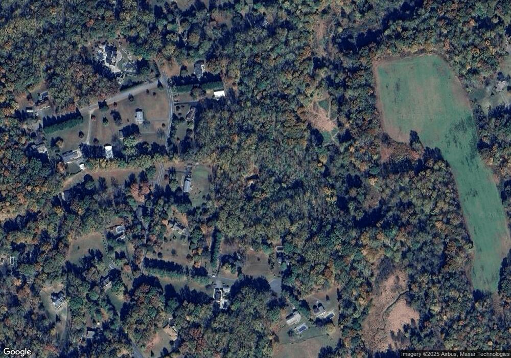
Map
- 10707 Ward Rd
- 1921 Haven Ln
- 1960 Owensville Ct
- 985 Bounty Place
- 9914 Mcintosh Dr
- 11223 Country Rd
- 11220 Country Rd
- 1475 W Chesapeake Beach Rd
- 9810 Golden Russet Dr
- 9236 Blue Sky Ct
- 310 Kidwell Ln
- 1458 Knight Ave
- 5 Cross Point Dr
- 6524 Wilson Rd
- 8800 Stratford Ct
- 9290 Baker St
- 9350 Baker St
- 6521 Wilson Rd
- 3019 Ashwood Dr
- 490 W Mount Harmony Rd
- 10695 Ward Rd
- 1921 Manning Cir
- 1911 Manning Cir
- 1981 Manning Cir
- 10701 Ward Rd
- 10615 Ward Rd
- 10630 Ward Rd
- 1910 Manning Cir
- 1900 Manning Cir
- 10600 Ward Rd
- 10640 Ward Rd
- 10715 Ward Rd
- 10711 Ward Rd
- 1971 Haven Ln
- 10590 Ward Rd
- 10690 Ward Rd
- 2010 Mccracken Dr
- 2001 Mccracken Dr
- 2011 Mccracken Dr
- 1961 Haven Ln
Ask me questions while you tour the home.