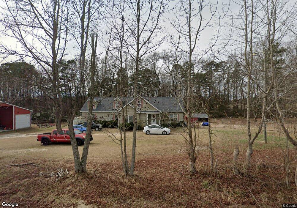
1931 Mccormick Rd Sanford, NC 27332
Estimated Value: $452,000 - $472,084
3
Beds
2
Baths
3,497
Sq Ft
$131/Sq Ft
Est. Value
About This Home
This home is located at 1931 Mccormick Rd, Sanford, NC 27332 and is currently estimated at $459,028, approximately $131 per square foot. 1931 Mccormick Rd is a home located in Harnett County with nearby schools including Benhaven Elementary School, Western Harnett Middle School, and Western Harnett High School.
Ownership History
Date
Name
Owned For
Owner Type
Purchase Details
Closed on
Sep 4, 2009
Sold by
Tcc Vanderbuilt Llc
Bought by
Wells Ii Keneth Allen and Wells Jocelynn
Current Estimated Value
Home Financials for this Owner
Home Financials are based on the most recent Mortgage that was taken out on this home.
Original Mortgage
$233,675
Outstanding Balance
$152,512
Interest Rate
5.15%
Mortgage Type
VA
Estimated Equity
$306,516
Purchase Details
Closed on
Jun 4, 2009
Sold by
Delgado Adam and Delgado Cynthia M
Bought by
Tcc Vanderbuilt Llc and Homes By Vanderbuilt
Create a Home Valuation Report for This Property
The Home Valuation Report is an in-depth analysis detailing your home's value as well as a comparison with similar homes in the area
Home Values in the Area
Average Home Value in this Area
Purchase History
| Date | Buyer | Sale Price | Title Company |
|---|---|---|---|
| Wells Ii Keneth Allen | $225,000 | -- | |
| Tcc Vanderbuilt Llc | $39,000 | -- |
Source: Public Records
Mortgage History
| Date | Status | Borrower | Loan Amount |
|---|---|---|---|
| Open | Wells Ii Keneth Allen | $233,675 |
Source: Public Records
Tax History Compared to Growth
Tax History
| Year | Tax Paid | Tax Assessment Tax Assessment Total Assessment is a certain percentage of the fair market value that is determined by local assessors to be the total taxable value of land and additions on the property. | Land | Improvement |
|---|---|---|---|---|
| 2025 | $2,388 | $368,903 | $0 | $0 |
| 2024 | $2,388 | $368,903 | $0 | $0 |
| 2023 | $2,388 | $368,903 | $0 | $0 |
| 2022 | $1,368 | $368,903 | $0 | $0 |
| 2021 | $1,368 | $194,210 | $0 | $0 |
| 2020 | $1,353 | $194,210 | $0 | $0 |
| 2019 | $1,721 | $194,210 | $0 | $0 |
| 2018 | $1,701 | $194,210 | $0 | $0 |
| 2017 | $1,701 | $194,210 | $0 | $0 |
| 2016 | $1,684 | $192,130 | $0 | $0 |
| 2015 | $1,684 | $192,130 | $0 | $0 |
| 2014 | $1,684 | $192,130 | $0 | $0 |
Source: Public Records
Map
Nearby Homes
- The Landen Plan at Briarwood Bluff
- The Coleman Plan at Briarwood Bluff
- The Telfair Plan at Briarwood Bluff
- The Grayson Plan at Briarwood Bluff
- The Lawson Plan at Briarwood Bluff
- The Benson II Plan at Briarwood Bluff
- 164 Gray Pine Way
- 3481 Mcneill Rd
- 134 Gray Pine Way
- 116 Gray Pine Way
- 2404 Bella Bridge Rd
- 406 Mcfarland Rd
- 117 Boyce Ct
- 189 Boyce Ct
- 173 Boyce Ct
- 189 Thistle Ct
- 1870 Mccormick Rd
- 2175 Mccormick Rd
- 0 McDougald Rd Unit LP604337
- 0 McDougald Rd Unit LP636116
- 0 McDougald Rd Unit LP540973
- 00 McDougald Rd
- 1619 Mccormick Rd
- 284 Perry Rd
- 1543 Mccormick Rd
- 13322 McDougald Rd
- 13747 McDougald Rd
- 13660 McDougald Rd
- 100 Perry Rd
- 13782 McDougald Rd
- 13841 McDougald Rd
- 13802 McDougald Rd
- 12780 McDougald Rd
- 13836 McDougald Rd
- 13897 McDougald Rd
- 13897 McDougald Rd Unit 28