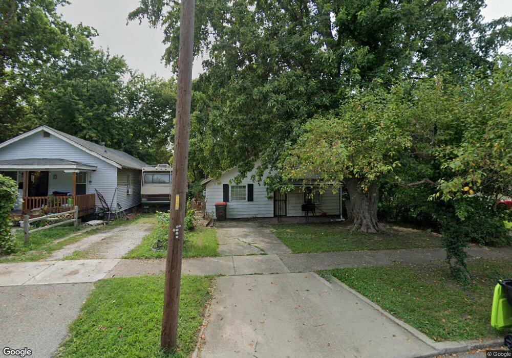
1931 N Walnut Grove Ave Decatur, IL 62526
Neighborhood Empowerment NeighborhoodEstimated Value: $34,000 - $55,000
--
Bed
--
Bath
896
Sq Ft
$51/Sq Ft
Est. Value
About This Home
This home is located at 1931 N Walnut Grove Ave, Decatur, IL 62526 and is currently estimated at $45,395, approximately $50 per square foot. 1931 N Walnut Grove Ave is a home located in Macon County with nearby schools including Stephen Decatur Middle School.
Ownership History
Date
Name
Owned For
Owner Type
Purchase Details
Closed on
Jul 24, 2019
Sold by
Jef Associates Llc
Bought by
Bobbitt Stephan and Bobbitt Errika
Current Estimated Value
Purchase Details
Closed on
Mar 6, 2017
Sold by
Fullenwider Robert L and Fullenwider Ann E
Bought by
Jef Associates Llc
Purchase Details
Closed on
Feb 17, 2015
Sold by
Fullenwider Robert L
Bought by
Fullenwider Robert L and Fullenwider Ann E
Create a Home Valuation Report for This Property
The Home Valuation Report is an in-depth analysis detailing your home's value as well as a comparison with similar homes in the area
Home Values in the Area
Average Home Value in this Area
Purchase History
| Date | Buyer | Sale Price | Title Company |
|---|---|---|---|
| Bobbitt Stephan | $13,000 | None Available | |
| Jef Associates Llc | -- | None Available | |
| Fullenwider Robert L | -- | None Available |
Source: Public Records
Tax History Compared to Growth
Tax History
| Year | Tax Paid | Tax Assessment Tax Assessment Total Assessment is a certain percentage of the fair market value that is determined by local assessors to be the total taxable value of land and additions on the property. | Land | Improvement |
|---|---|---|---|---|
| 2024 | $431 | $4,454 | $442 | $4,012 |
| 2023 | $428 | $4,296 | $426 | $3,870 |
| 2022 | $403 | $3,940 | $394 | $3,546 |
| 2021 | $379 | $3,679 | $368 | $3,311 |
| 2020 | $373 | $3,507 | $350 | $3,157 |
| 2019 | $373 | $3,507 | $350 | $3,157 |
| 2018 | $390 | $3,716 | $197 | $3,519 |
| 2017 | $400 | $3,815 | $202 | $3,613 |
| 2016 | $407 | $3,854 | $204 | $3,650 |
| 2015 | $446 | $4,364 | $210 | $4,154 |
| 2014 | $414 | $4,321 | $208 | $4,113 |
| 2013 | $428 | $4,484 | $216 | $4,268 |
Source: Public Records
Map
Nearby Homes
- 933 W Division St
- 1653 N Maple Ave
- 644 W Division St
- 1915 N Monroe St
- 1545 N Monroe St
- 1504 N Monroe St
- 837 W Grand Ave
- 1535 N Mcclellan Ave
- 1319 W Waggoner St
- 2273 N Fairview Ave
- 1530 W Cushing St
- 1625 W Garfield Ave
- 2480 N Graceland Ave
- 230 W Garfield Ave
- 1645 W Center St
- 1706 W Division St
- 1675 W Center St
- 1607 W Melrose Ct
- 1245 N Union St
- 1415 N Dennis Ave
- 1921 N Walnut Grove Ave
- 1945 N Walnut Grove Ave
- 1905 N Walnut Grove Ave
- 1953 N Walnut Grove Ave
- 1961 N Walnut Grove Ave
- 1944 N Gulick Ave
- 1952 N Gulick Ave
- 960 W Sawyer St
- 1837 N Walnut Grove Ave
- 1920 N Gulick Ave
- 1904 N Gulick Ave
- 1844 N Gulick Ave
- 944 W Sawyer St
- 1829 N Walnut Grove Ave
- 1836 N Gulick Ave
- 995 W Sawyer St
- 1821 N Walnut Grove Ave
- 1828 N Gulick Ave
- 1805 N Walnut Grove Ave
- 1905 N Gulick Ave