1931 Red Rock Rd Sylvester, GA 31791
Estimated Value: $370,000 - $615,715
3
Beds
1
Bath
3,669
Sq Ft
$139/Sq Ft
Est. Value
About This Home
This home is located at 1931 Red Rock Rd, Sylvester, GA 31791 and is currently estimated at $510,238, approximately $139 per square foot. 1931 Red Rock Rd is a home located in Worth County with nearby schools including Worth County Primary School, Worth County Elementary School, and Worth County Middle School.
Ownership History
Date
Name
Owned For
Owner Type
Purchase Details
Closed on
Apr 19, 2018
Sold by
Standfield William T
Bought by
Stanfield Daniel William
Current Estimated Value
Purchase Details
Closed on
Oct 11, 2013
Sold by
Maxwell William E
Bought by
Hancock Kerri H and Hancock Daniel W
Home Financials for this Owner
Home Financials are based on the most recent Mortgage that was taken out on this home.
Original Mortgage
$207,000
Interest Rate
4.57%
Mortgage Type
New Conventional
Purchase Details
Closed on
Jan 25, 1993
Sold by
Hudson Laurestine
Bought by
Hudson Laurestine Est
Purchase Details
Closed on
Apr 17, 1979
Bought by
Stanfield W T
Create a Home Valuation Report for This Property
The Home Valuation Report is an in-depth analysis detailing your home's value as well as a comparison with similar homes in the area
Home Values in the Area
Average Home Value in this Area
Purchase History
| Date | Buyer | Sale Price | Title Company |
|---|---|---|---|
| Stanfield Daniel William | $45,000 | -- | |
| Hancock Kerri H | $267,000 | -- | |
| Hudson Laurestine Est | -- | -- | |
| Hudson Laurestine | -- | -- | |
| Stanfield W T | -- | -- |
Source: Public Records
Mortgage History
| Date | Status | Borrower | Loan Amount |
|---|---|---|---|
| Previous Owner | Hancock Kerri H | $207,000 |
Source: Public Records
Tax History Compared to Growth
Tax History
| Year | Tax Paid | Tax Assessment Tax Assessment Total Assessment is a certain percentage of the fair market value that is determined by local assessors to be the total taxable value of land and additions on the property. | Land | Improvement |
|---|---|---|---|---|
| 2024 | $3,950 | $164,626 | $58,994 | $105,632 |
| 2023 | $3,950 | $164,626 | $58,994 | $105,632 |
| 2022 | $3,922 | $164,626 | $58,994 | $105,632 |
| 2021 | $3,885 | $164,626 | $58,994 | $105,632 |
| 2020 | $3,877 | $164,626 | $58,994 | $105,632 |
| 2019 | $3,863 | $164,626 | $58,994 | $105,632 |
| 2018 | $939 | $32,790 | $32,790 | $0 |
| 2017 | $952 | $33,240 | $33,240 | $0 |
| 2016 | $952 | $33,240 | $33,240 | $0 |
| 2015 | $954 | $33,240 | $33,240 | $0 |
| 2014 | $954 | $33,240 | $33,240 | $0 |
| 2013 | -- | $36,854 | $36,854 | $0 |
| 2012 | -- | $37,910 | $37,910 | $0 |
Source: Public Records
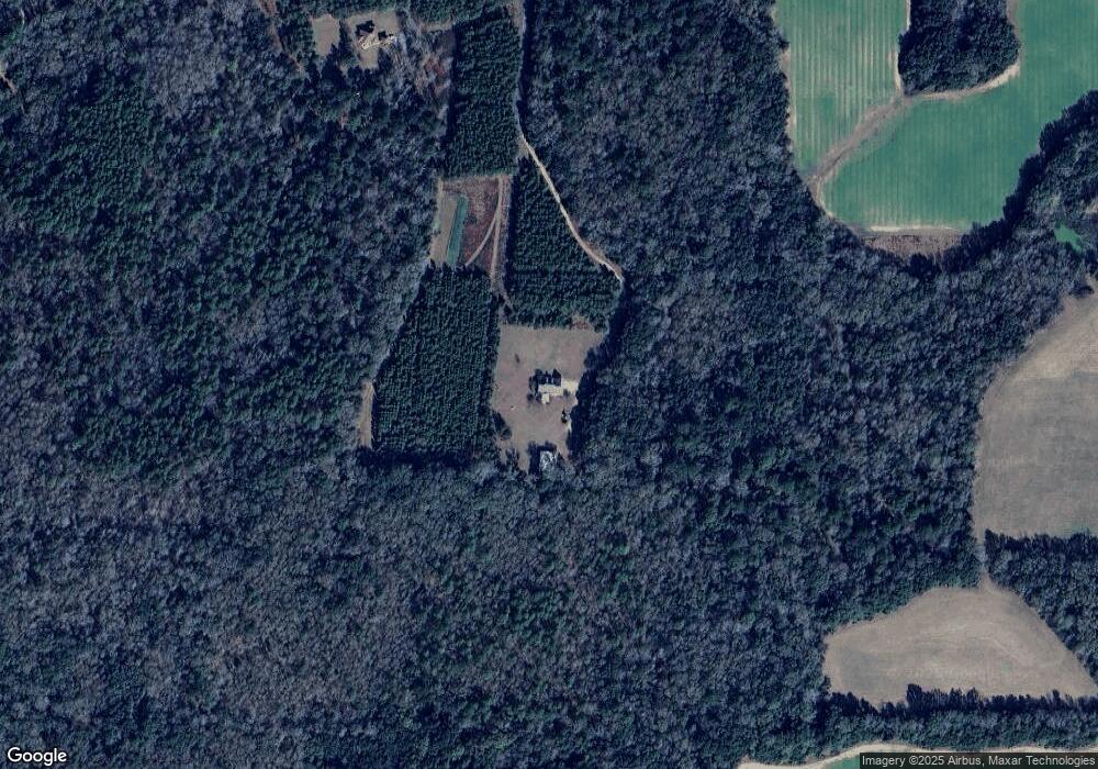
Map
Nearby Homes
- 106 Shady Ln
- 0 N County Line Rd
- 5606 Mciver Dr
- 216 N County Line Rd
- 4527 Sylvester Rd
- 414 Pine Glen Dr
- 727 Woodcrest Rd
- 2730 S County Line Rd
- 5108 Cypress Ave
- 209 Pebble Hill Cir
- 222 Pebble Hill Cir
- 266 Pebble Hill Cir
- 213 Aspen Ln
- 144 James Dr
- 3618 Plumcrest Ave
- 3620 Radial Ave
- 101 Dogwood Ln
- 5421 Worthy St
- 5312 Worthy St
- 3606 Radial Ave
- 1961 Red Rock Rd
- 1925 Red Rock Rd
- 1936 Red Rock Rd
- 1922 Red Rock Rd
- 1940 Red Rock Rd
- 2021 Red Rock Rd
- 1851 Red Rock Rd
- 1942 Red Rock Rd
- 649 Peafowl Rd
- 1823 Red Rock Rd
- 149 Whearry Ln
- 219 New Mount Olive Ln
- 225 New Mount Olive Ln
- 209 New Mount Olive Ln
- 230 Henry Rd
- 240 Henry Rd
- 250 Henry Rd
- 1804 Red Rock Rd
- 207 Henry Rd
- 229 Henry Rd