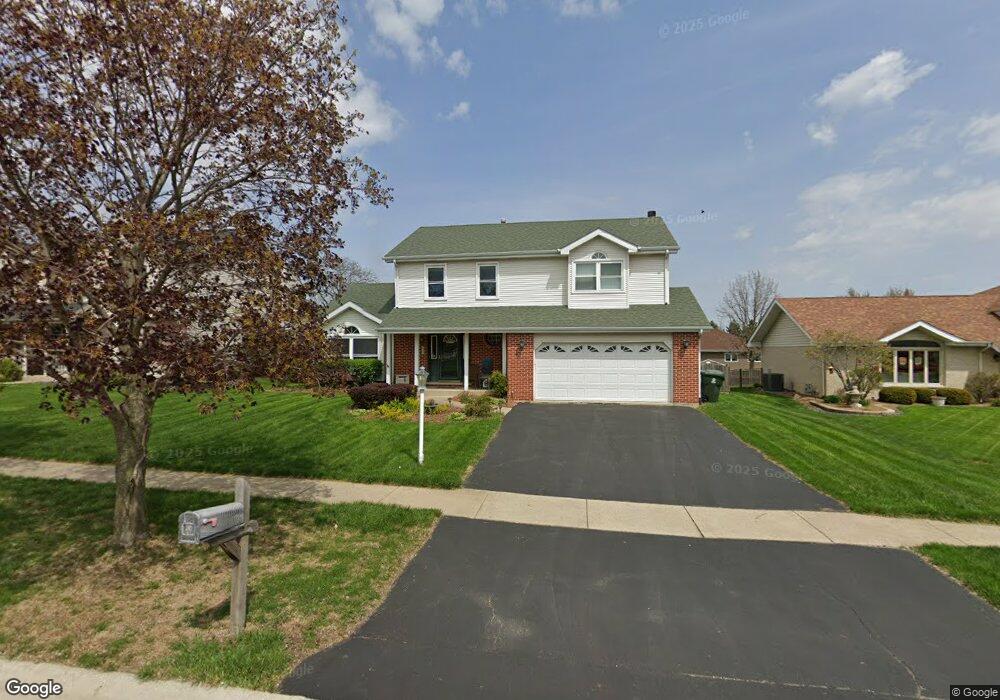
1931 Regent St New Lenox, IL 60451
Estimated Value: $446,792 - $506,000
--
Bed
--
Bath
--
Sq Ft
10,019
Sq Ft Lot
About This Home
This home is located at 1931 Regent St, New Lenox, IL 60451 and is currently estimated at $466,698. 1931 Regent St is a home located in Will County with nearby schools including Spencer Trail, Spencer Pointe, and Spencer Crossing Intermediate School.
Ownership History
Date
Name
Owned For
Owner Type
Purchase Details
Closed on
Jun 7, 2002
Sold by
Olszewski Robert C
Bought by
Helmke Michael R and Helmke Michelle A
Current Estimated Value
Home Financials for this Owner
Home Financials are based on the most recent Mortgage that was taken out on this home.
Original Mortgage
$188,000
Outstanding Balance
$72,771
Interest Rate
5.62%
Estimated Equity
$393,927
Purchase Details
Closed on
Jan 11, 1996
Sold by
Standard Bank & Trust Company
Bought by
Olszewski Robert C and Olszewski Carmen S
Home Financials for this Owner
Home Financials are based on the most recent Mortgage that was taken out on this home.
Original Mortgage
$153,600
Interest Rate
7.11%
Create a Home Valuation Report for This Property
The Home Valuation Report is an in-depth analysis detailing your home's value as well as a comparison with similar homes in the area
Home Values in the Area
Average Home Value in this Area
Purchase History
| Date | Buyer | Sale Price | Title Company |
|---|---|---|---|
| Helmke Michael R | $235,000 | Chicago Title Insurance Co | |
| Olszewski Robert C | $192,000 | Chicago Title Insurance Co |
Source: Public Records
Mortgage History
| Date | Status | Borrower | Loan Amount |
|---|---|---|---|
| Open | Helmke Michael R | $188,000 | |
| Previous Owner | Olszewski Robert C | $153,600 | |
| Closed | Helmke Michael R | $17,000 |
Source: Public Records
Tax History Compared to Growth
Tax History
| Year | Tax Paid | Tax Assessment Tax Assessment Total Assessment is a certain percentage of the fair market value that is determined by local assessors to be the total taxable value of land and additions on the property. | Land | Improvement |
|---|---|---|---|---|
| 2024 | $10,837 | $141,539 | $36,393 | $105,146 |
| 2023 | $10,837 | $129,024 | $33,175 | $95,849 |
| 2022 | $9,765 | $118,861 | $30,562 | $88,299 |
| 2021 | $9,271 | $111,785 | $28,743 | $83,042 |
| 2020 | $9,008 | $107,796 | $27,717 | $80,079 |
| 2019 | $8,622 | $104,454 | $26,858 | $77,596 |
| 2018 | $8,423 | $100,853 | $25,932 | $74,921 |
| 2017 | $8,003 | $97,953 | $25,186 | $72,767 |
| 2016 | $7,769 | $95,331 | $24,512 | $70,819 |
| 2015 | $7,522 | $92,330 | $23,740 | $68,590 |
| 2014 | $7,522 | $91,190 | $23,447 | $67,743 |
| 2013 | $7,522 | $92,419 | $23,763 | $68,656 |
Source: Public Records
Map
Nearby Homes
- 214 Somerset Ct
- 1351 E Lincoln Hwy
- 1535 Glenbrooke Ln
- 641 Lisson Grove
- 701 Bishops Gate
- 709 Garadice Dr
- 125 N Anderson Rd
- 513 Somerset Ln
- 651 Schooner Dr
- 449 Somerset Ln Unit 1
- 1212 Georgias Way
- 1245 Georgias Way
- 1193 Georgias Way
- 1017 E Lincoln Hwy
- 2758 Bluestone Bay Dr
- 2667 E Lincoln Hwy
- 1139 Georgias Way
- 621 Chatfield Rd
- 1125 Georgias Way
- 190 Pottawatomie Ln
- 1917 Regent St
- 1943 Regent St
- 1930 Cornell Dr
- 1907 Regent St
- 1918 Cornell Dr
- 1940 Cornell Dr
- 1957 Regent St
- 602 Columbia Dr
- 1908 Cornell Dr
- 1956 Cornell Dr
- 1891 Regent St
- 601 Vanderbilt Dr
- 601 Columbia Dr
- 1890 Cornell Dr
- 1885 Regent St
- 611 Vanderbilt Dr
- 611 Columbia Dr
- 1884 Cornell Dr
- 582 Vanderbilt Dr
- 1933 Cornell Dr