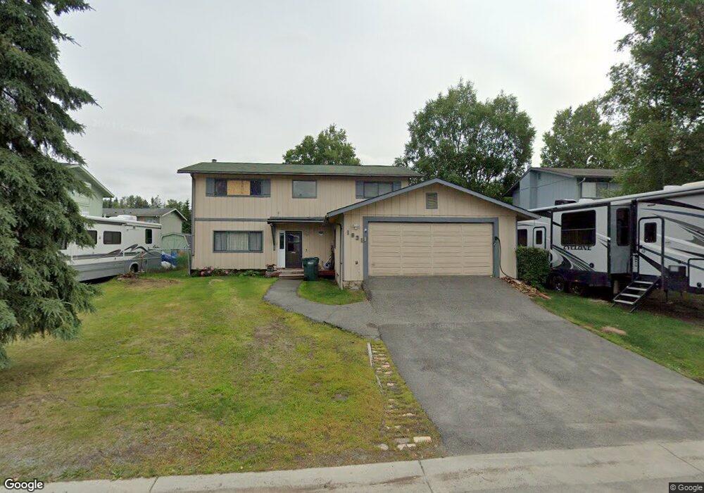
1931 State St Anchorage, AK 99504
Northeast Anchorage NeighborhoodEstimated Value: $247,000 - $464,000
4
Beds
3
Baths
1,920
Sq Ft
$185/Sq Ft
Est. Value
About This Home
This home is located at 1931 State St, Anchorage, AK 99504 and is currently estimated at $354,743, approximately $184 per square foot. 1931 State St is a home located in Anchorage Municipality with nearby schools including Susitna Elementary School, Nicholas J. Begich Middle School, and Bartlett High School.
Ownership History
Date
Name
Owned For
Owner Type
Purchase Details
Closed on
Feb 20, 2024
Sold by
May Carol Greer and Russey Gary Reagan
Bought by
May Carol Greer
Current Estimated Value
Purchase Details
Closed on
Jan 9, 2024
Sold by
Russey Gary Reagan
Bought by
Greer May Carol
Purchase Details
Closed on
Apr 10, 2014
Sold by
Russey G R G and Russey R G
Bought by
Russey G R G and Russey R
Create a Home Valuation Report for This Property
The Home Valuation Report is an in-depth analysis detailing your home's value as well as a comparison with similar homes in the area
Home Values in the Area
Average Home Value in this Area
Purchase History
| Date | Buyer | Sale Price | Title Company |
|---|---|---|---|
| May Carol Greer | -- | None Listed On Document | |
| Greer May Carol | -- | None Listed On Document | |
| Russey G R G | -- | -- |
Source: Public Records
Tax History
| Year | Tax Paid | Tax Assessment Tax Assessment Total Assessment is a certain percentage of the fair market value that is determined by local assessors to be the total taxable value of land and additions on the property. | Land | Improvement |
|---|---|---|---|---|
| 2025 | $5,746 | $386,900 | $86,900 | $300,000 |
| 2024 | $5,746 | $355,900 | $86,900 | $269,000 |
| 2023 | $5,627 | $330,400 | $86,900 | $243,500 |
| 2022 | $5,454 | $323,900 | $86,900 | $237,000 |
| 2021 | $5,276 | $292,800 | $86,900 | $205,900 |
| 2020 | $1,415 | $284,400 | $86,900 | $197,500 |
| 2019 | $1,281 | $278,300 | $86,900 | $191,400 |
| 2018 | $1,117 | $268,100 | $86,900 | $181,200 |
| 2017 | $1,743 | $281,300 | $86,900 | $194,400 |
| 2016 | $4,022 | $278,400 | $84,200 | $194,200 |
| 2015 | $4,022 | $276,600 | $84,200 | $192,400 |
| 2014 | $4,022 | $265,800 | $79,000 | $186,800 |
Source: Public Records
Map
Nearby Homes
- 1900 Muldoon Rd
- 2221 Muldoon Rd Unit 68
- 2221 Muldoon Rd Unit 524
- 1542 Northview Dr Unit E8
- 1542 Northview Dr Unit E5
- 2291 Duncanshire Place Unit 154
- 1541 State St Unit B-3
- 8510 Hidden View Ct
- 4430 View Ct Unit 1
- 8041 Astonshire Ct Unit 85
- 7989 Hillshire Ct Unit 39
- 8510 Moss Ct
- 7515 E 20th Ave
- 1477 Shallow Pool Dr Unit J3
- 1482 Shallow Pool Dr Unit M3
- 7524 Eastbrook Cir
- 7426 E 20th Ave
- 7339 E 17th Ave
- 8512 Cross Pointe Loop
- 1201 Boston St
- 1921 State St
- 1941 State St
- 1930 Greendale Dr
- 8111 E 20th Ave
- 1911 State St
- 1920 Greendale Dr
- 1920 State St
- 1930 State St
- 1910 State St
- 1942 State St
- 1910 Greendale Dr
- 1901 State St
- 8100 E 20th Ave
- 8116 E 20th Ave
- 1900 State St
- 8120 E 20th Ave
- 1880 Parkway Dr
- 1931 Greendale Dr
- 1870 Parkway Dr
- 8021 E 20th Ave
Your Personal Tour Guide
Ask me questions while you tour the home.