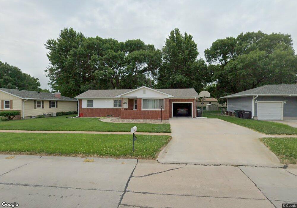
1931 W 9th St Hastings, NE 68901
Estimated Value: $221,000 - $254,000
3
Beds
2
Baths
1,292
Sq Ft
$187/Sq Ft
Est. Value
About This Home
This home is located at 1931 W 9th St, Hastings, NE 68901 and is currently estimated at $241,040, approximately $186 per square foot. 1931 W 9th St is a home located in Adams County with nearby schools including Hastings Senior High School, St. Michael's Preschool & Elementary School, and Zion Lutheran School.
Ownership History
Date
Name
Owned For
Owner Type
Purchase Details
Closed on
Aug 28, 2013
Sold by
Geitz Roger A and Geitz Arlene C
Bought by
Huynh Dung Y and Huynh Thuy T
Current Estimated Value
Home Financials for this Owner
Home Financials are based on the most recent Mortgage that was taken out on this home.
Original Mortgage
$75,000
Outstanding Balance
$55,990
Interest Rate
4.41%
Mortgage Type
New Conventional
Estimated Equity
$185,050
Create a Home Valuation Report for This Property
The Home Valuation Report is an in-depth analysis detailing your home's value as well as a comparison with similar homes in the area
Home Values in the Area
Average Home Value in this Area
Purchase History
| Date | Buyer | Sale Price | Title Company |
|---|---|---|---|
| Huynh Dung Y | $125,000 | None Available |
Source: Public Records
Mortgage History
| Date | Status | Borrower | Loan Amount |
|---|---|---|---|
| Open | Huynh Dung Y | $75,000 |
Source: Public Records
Tax History Compared to Growth
Tax History
| Year | Tax Paid | Tax Assessment Tax Assessment Total Assessment is a certain percentage of the fair market value that is determined by local assessors to be the total taxable value of land and additions on the property. | Land | Improvement |
|---|---|---|---|---|
| 2024 | $2,891 | $181,019 | $26,354 | $154,665 |
| 2023 | $3,541 | $171,603 | $26,354 | $145,249 |
| 2022 | $3,703 | $164,386 | $26,354 | $138,032 |
| 2021 | $3,361 | $153,266 | $20,543 | $132,723 |
| 2020 | $3,169 | $146,946 | $20,543 | $126,403 |
| 2019 | $2,935 | $137,583 | $20,543 | $117,040 |
| 2018 | $2,817 | $131,375 | $14,335 | $117,040 |
| 2017 | $2,766 | $129,080 | $0 | $0 |
| 2016 | $2,607 | $121,575 | $14,335 | $107,240 |
| 2011 | -- | $0 | $0 | $0 |
Source: Public Records
Map
Nearby Homes
- 1911 W 11th St
- 736 N Barnes Ave
- 1814 Boyce St
- 1513 Crane Ave
- 1505 Crane Ave
- 2229 W 8th St
- 1801 W 7th St
- 1619 Boyce St
- 2301 Bateman Ave
- 2330 W 11th St
- 2416 W 9th St
- 1201 Pershing Rd
- 1225 Heritage Dr
- 904 N Washington Ave
- 1911 W 5th St
- 514 Oswego Ave
- 2501 W 10th St
- 1615 W 7th St
- 2521 Boyce St
- 1733 W 5th St