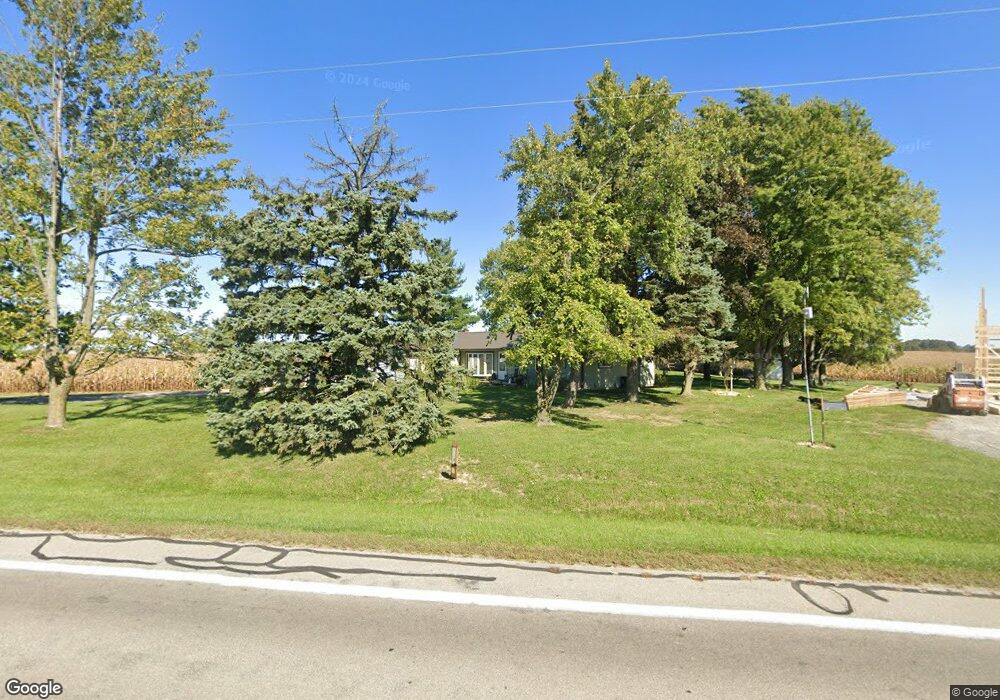
19316 State Route 117 Waynesfield, OH 45896
Estimated Value: $253,000 - $298,000
4
Beds
2
Baths
1,812
Sq Ft
$151/Sq Ft
Est. Value
About This Home
This home is located at 19316 State Route 117, Waynesfield, OH 45896 and is currently estimated at $274,469, approximately $151 per square foot. 19316 State Route 117 is a home located in Auglaize County with nearby schools including Waynesfield-Goshen Local Elementary School and Waynesfield-Goshen Local High School.
Ownership History
Date
Name
Owned For
Owner Type
Purchase Details
Closed on
Jun 19, 2000
Sold by
Daily Bryan L
Bought by
Horstman Mary Jane
Current Estimated Value
Purchase Details
Closed on
Apr 21, 1997
Sold by
Spencer Emma S
Bought by
Daily Bryan L
Purchase Details
Closed on
Nov 20, 1992
Sold by
Spencer Emma S
Bought by
Spencer Emma S
Create a Home Valuation Report for This Property
The Home Valuation Report is an in-depth analysis detailing your home's value as well as a comparison with similar homes in the area
Home Values in the Area
Average Home Value in this Area
Purchase History
| Date | Buyer | Sale Price | Title Company |
|---|---|---|---|
| Horstman Mary Jane | $95,500 | -- | |
| Daily Bryan L | $79,000 | -- | |
| Spencer Emma S | -- | -- |
Source: Public Records
Mortgage History
| Date | Status | Borrower | Loan Amount |
|---|---|---|---|
| Open | Calvert Jason | $100,000 | |
| Closed | Calvert Jason W | $102,500 |
Source: Public Records
Tax History Compared to Growth
Tax History
| Year | Tax Paid | Tax Assessment Tax Assessment Total Assessment is a certain percentage of the fair market value that is determined by local assessors to be the total taxable value of land and additions on the property. | Land | Improvement |
|---|---|---|---|---|
| 2024 | $3,716 | $59,070 | $8,770 | $50,300 |
| 2023 | $2,097 | $59,070 | $8,770 | $50,300 |
| 2022 | $1,800 | $43,090 | $8,210 | $34,880 |
| 2021 | $1,797 | $43,090 | $8,210 | $34,880 |
| 2020 | $1,832 | $43,092 | $8,211 | $34,881 |
| 2019 | $1,439 | $35,907 | $6,839 | $29,068 |
| 2018 | $1,397 | $35,907 | $6,839 | $29,068 |
| 2017 | $1,405 | $35,907 | $6,839 | $29,068 |
| 2016 | $1,312 | $34,412 | $6,517 | $27,895 |
| 2015 | $1,307 | $34,412 | $6,517 | $27,895 |
| 2014 | $1,296 | $34,412 | $6,517 | $27,895 |
| 2013 | $1,438 | $34,412 | $6,517 | $27,895 |
Source: Public Records
Map
Nearby Homes
- 8150 Amherst Rd
- 202 W Mulberry St
- 105 Guthrie St
- 25836 Ohio 67
- 7165 Faulkner Rd
- 200 S Main St
- 5065 Amherst Rd
- 0 Ohio 235
- 6616 Bellefontaine Rd
- 6381 McPheron Rd
- 22275 Buckland Holden Rd
- 5600 E Hanthorn Rd
- 203 Belmont St
- 6782 County Road 15
- E Hanthorn Rd
- 900 N Front St
- 1855 S Cool Rd
- 14918 Township Road 55
- 2444 County Road 200
- 4160 E Hanthorn Rd
- 19119 State Route 117
- 19090 State Route 117
- 27932 Buckland Holden Rd
- 19021 State Route 117
- 18913 Worrel Rd
- 27525 Buckland Holden Rd
- 19850 Ohio 117
- 27409 Buckland Holden Rd
- 27474 Buckland Holden Rd
- 19833 State Route 117
- 27408 Buckland Holden Rd
- 27412 Buckland Holden Rd
- 28709 Spencer Rd
- 19930 State Route 117
- 19930 Ohio 117
- 19600 Gant Rd
- 6494 Hay Rd
- 6501 Hay Rd
- 18624 State Route 117
- 19301 Gant Rd