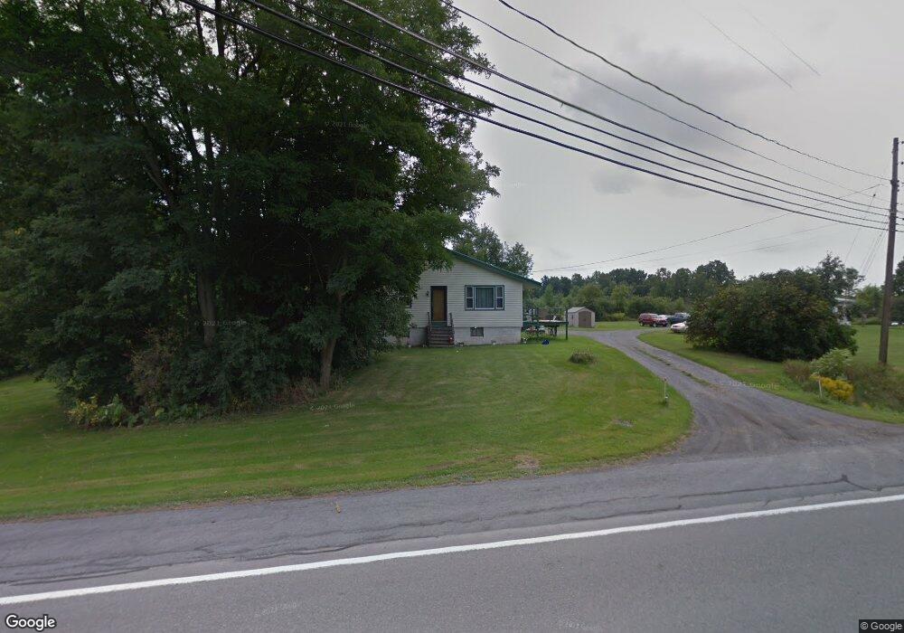
19316 State Route 12f Dexter, NY 13634
Estimated Value: $199,000 - $228,892
4
Beds
1
Bath
1,462
Sq Ft
$151/Sq Ft
Est. Value
About This Home
This home is located at 19316 State Route 12f, Dexter, NY 13634 and is currently estimated at $220,473, approximately $150 per square foot. 19316 State Route 12f is a home located in Jefferson County with nearby schools including General Brown Junior/Senior High School, St. Anthony S School, and Sacred Heart School.
Ownership History
Date
Name
Owned For
Owner Type
Purchase Details
Closed on
Dec 31, 2020
Sold by
Babel Lewis O and Babel Cynthia L
Bought by
Cottrell Brock A and Cottrell Hannah L
Current Estimated Value
Home Financials for this Owner
Home Financials are based on the most recent Mortgage that was taken out on this home.
Original Mortgage
$125,000
Outstanding Balance
$111,543
Interest Rate
2.7%
Mortgage Type
FHA
Estimated Equity
$108,930
Purchase Details
Closed on
May 16, 2000
Sold by
Carr Thelma D
Bought by
Babel Lewis O and Babel Cynthia L
Create a Home Valuation Report for This Property
The Home Valuation Report is an in-depth analysis detailing your home's value as well as a comparison with similar homes in the area
Home Values in the Area
Average Home Value in this Area
Purchase History
| Date | Buyer | Sale Price | Title Company |
|---|---|---|---|
| Cottrell Brock A | $156,500 | None Available | |
| Babel Lewis O | -- | -- |
Source: Public Records
Mortgage History
| Date | Status | Borrower | Loan Amount |
|---|---|---|---|
| Open | Cottrell Brock A | $125,000 |
Source: Public Records
Tax History Compared to Growth
Tax History
| Year | Tax Paid | Tax Assessment Tax Assessment Total Assessment is a certain percentage of the fair market value that is determined by local assessors to be the total taxable value of land and additions on the property. | Land | Improvement |
|---|---|---|---|---|
| 2024 | $3,194 | $177,700 | $73,700 | $104,000 |
| 2023 | $3,053 | $177,700 | $73,700 | $104,000 |
| 2022 | $3,800 | $173,400 | $51,200 | $122,200 |
| 2021 | $3,730 | $173,400 | $51,200 | $122,200 |
| 2020 | $3,714 | $176,900 | $54,700 | $122,200 |
| 2019 | -- | $167,900 | $54,700 | $113,200 |
| 2018 | $3,564 | $167,900 | $54,700 | $113,200 |
| 2017 | $3,334 | $167,900 | $54,700 | $113,200 |
| 2016 | $3,160 | $167,900 | $54,700 | $113,200 |
Source: Public Records
Map
Nearby Homes
- 219-221 W Main St
- 218 E Main St
- 115 Patrician Ln
- 118 Patrician Ln
- 205 Pike St
- 0 Bonney Rd Unit S1642943
- 0 Middle Rd Unit S1617700
- 213 Pike St
- 109 St Lawrence Ave W
- 305 Washington St
- 104 Brown Rd
- 20009 State Route 12f
- 24142 County Route 54
- 21429 Old Rome State Rd Unit 61
- 20010 New York 12f
- 518 Main St
- 514 Main St
- 408 Main St
- 18916 State Route 3
- 20207 Reasoner Rd
- 19312 State Route 12f
- 19278 State Route 12f
- 19365 State Route 12f
- 19372 State Route 12f
- 19231 State Route 12f
- 19404 State Route 12f
- 19438 State Route 12f
- 19468 State Route 12f
- 19159 State Route 12f
- 20077 Evans Rd
- 19961 Evans Rd
- 19989 Evans Rd
- 219 W Main St
- 219 W Main St
- 233 W Main St
- 19905 Evans Rd
- 20050 Evans Rd
- 100 Storehouse St
- 20024 Evans Rd
- 233 W Main St