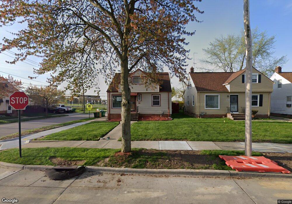
19316 Stockton Ave Maple Heights, OH 44137
Estimated Value: $114,000 - $144,000
2
Beds
3
Baths
1,092
Sq Ft
$116/Sq Ft
Est. Value
About This Home
This home is located at 19316 Stockton Ave, Maple Heights, OH 44137 and is currently estimated at $126,230, approximately $115 per square foot. 19316 Stockton Ave is a home located in Cuyahoga County with nearby schools including Abraham Lincoln Elementary School, Rockside/ J.F. Kennedy School, and Italy High School.
Ownership History
Date
Name
Owned For
Owner Type
Purchase Details
Closed on
Jan 20, 2010
Sold by
Bank Of New York Mellon
Bought by
Miskin Zlatan
Current Estimated Value
Purchase Details
Closed on
Jan 5, 2010
Sold by
Montgomery Margaret E
Bought by
The Bank Of New York Mellon
Purchase Details
Closed on
Sep 21, 1990
Sold by
Vitali Francisco A
Bought by
Pope Grady L
Purchase Details
Closed on
Nov 14, 1978
Sold by
Eckland Howard R and Eckland G
Bought by
Vitali Francisco A
Purchase Details
Closed on
Jan 1, 1975
Bought by
Eckland Howard R and Eckland G
Create a Home Valuation Report for This Property
The Home Valuation Report is an in-depth analysis detailing your home's value as well as a comparison with similar homes in the area
Home Values in the Area
Average Home Value in this Area
Purchase History
| Date | Buyer | Sale Price | Title Company |
|---|---|---|---|
| Miskin Zlatan | $18,000 | Attorney | |
| The Bank Of New York Mellon | $38,667 | None Available | |
| Pope Grady L | $62,900 | -- | |
| Vitali Francisco A | $41,800 | -- | |
| Eckland Howard R | -- | -- |
Source: Public Records
Tax History Compared to Growth
Tax History
| Year | Tax Paid | Tax Assessment Tax Assessment Total Assessment is a certain percentage of the fair market value that is determined by local assessors to be the total taxable value of land and additions on the property. | Land | Improvement |
|---|---|---|---|---|
| 2024 | $3,324 | $37,170 | $6,300 | $30,870 |
| 2023 | $2,310 | $21,630 | $4,480 | $17,150 |
| 2022 | $2,301 | $21,630 | $4,480 | $17,150 |
| 2021 | $2,453 | $21,630 | $4,480 | $17,150 |
| 2020 | $2,096 | $16,380 | $3,400 | $12,990 |
| 2019 | $2,085 | $46,800 | $9,700 | $37,100 |
| 2018 | $2,074 | $16,380 | $3,400 | $12,990 |
| 2017 | $1,961 | $14,980 | $4,410 | $10,570 |
| 2016 | $1,898 | $14,980 | $4,410 | $10,570 |
| 2015 | $1,896 | $14,980 | $4,410 | $10,570 |
| 2014 | $1,896 | $16,460 | $4,870 | $11,590 |
Source: Public Records
Map
Nearby Homes
- 19812 Stockton Ave
- 19806 Mountville Dr
- 19289 Stafford Ave
- 20107 Libby Rd
- 19807 Gardenview Dr
- 19520 Maple Heights Blvd
- 19221 Stafford Ave
- 20510 Mountville Dr
- 5165 Camden Rd
- 20701 Kenyon Dr
- 5265 Bellview St
- 18909 Maple Heights Blvd
- 19309 Nitra Ave
- 5409 Hollywood Ave
- 20814 Kenyon Dr
- 20625 Centuryway Rd
- 5357 Beechwood Ave
- 5571 Oakwood Ave
- 20120 Mccracken Rd
- 20814 Watson Rd
- 19312 Stockton Ave
- 19308 Stockton Ave
- 19800 Stockton Ave
- 19313 Stafford Ave
- 19304 Stockton Ave
- 19309 Stafford Ave
- 19804 Stockton Ave
- 19317 Stockton Ave
- 19300 Stockton Ave
- 19313 Stockton Ave
- 19305 Stafford Ave
- 19309 Stockton Ave
- 19801 Stockton Ave
- 19305 Stockton Ave
- 19808 Stockton Ave
- 19296 Stockton Ave
- 19301 Stafford Ave
- 19805 Stockton Ave
- 19301 Stockton Ave
- 19292 Stockton Ave