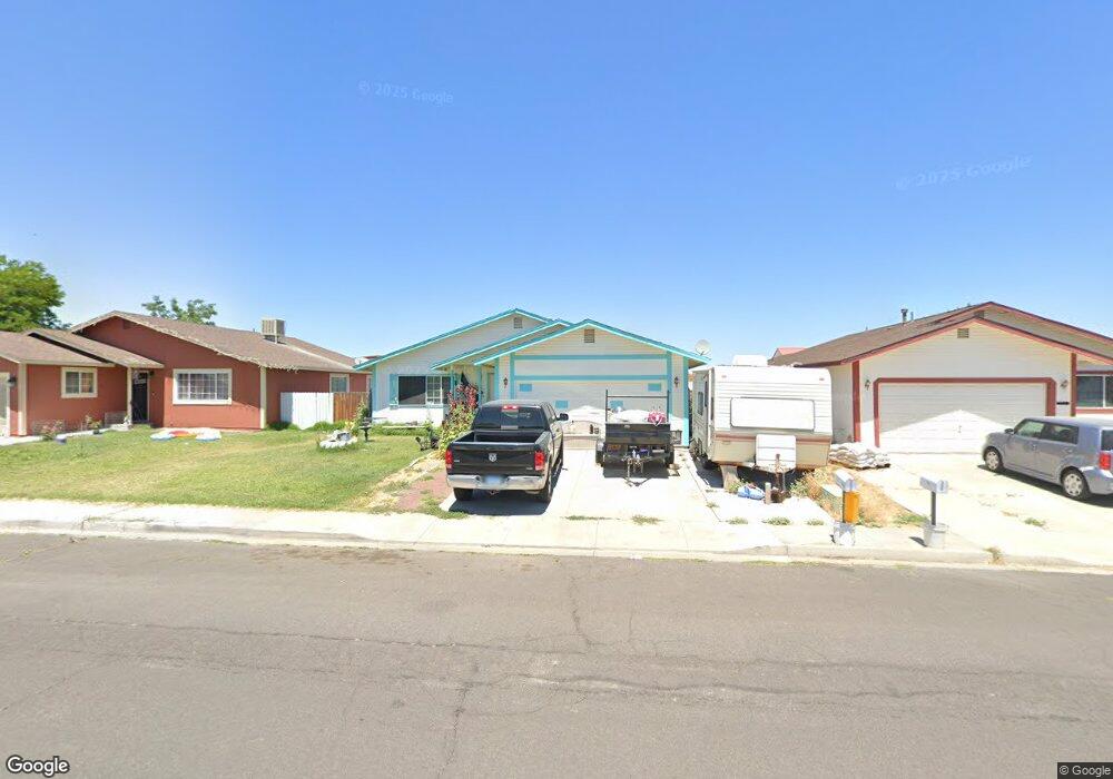
1932 Albert St Fallon, NV 89406
Estimated Value: $345,933 - $372,000
About This Home
This home is located at 1932 Albert St, Fallon, NV 89406 and is currently estimated at $355,733, approximately $251 per square foot. 1932 Albert St is a home located in Churchill County with nearby schools including Lahontan Elementary School, E.C. Best Elementary School, and Numa Elementary School.
Ownership History
We collect this data history from publicly available records. To have your information removed, we recommend requesting removal directly through your county’s website.
Purchase Details
Home Financials for this Owner
Home Financials are based on the most recent Mortgage that was taken out on this home.Home Values in the Area
Average Home Value in this Area
Purchase History
We collect this data history from publicly available records. To have your information removed, we recommend requesting removal directly through your county’s website.
| Date | Buyer | Sale Price | Title Company |
|---|---|---|---|
| -- | First Centennial Title |
Mortgage History
We collect this data history from publicly available records. To have your information removed, we recommend requesting removal directly through your county’s website.
| Date | Status | Borrower | Loan Amount |
|---|---|---|---|
| Open | $100,000 |
Tax History
We collect this data history from publicly available records. To have your information removed, we recommend requesting removal directly through your county’s website.
| Year | Tax Paid | Tax Assessment Tax Assessment Total Assessment is a certain percentage of the fair market value that is determined by local assessors to be the total taxable value of land and additions on the property. | Land | Improvement |
|---|---|---|---|---|
| 2025 | $1,882 | $57,172 | $13,650 | $43,522 |
| 2024 | $1,882 | $57,030 | $12,950 | $44,080 |
| 2023 | $1,882 | $53,600 | $12,250 | $41,350 |
| 2022 | $1,614 | $46,484 | $10,500 | $35,984 |
| 2021 | $1,461 | $45,295 | $10,500 | $34,795 |
| 2020 | $1,414 | $43,234 | $10,500 | $35,614 |
| 2019 | $1,364 | $45,239 | $10,500 | $34,739 |
| 2018 | $1,423 | $41,047 | $7,000 | $34,047 |
| 2017 | $1,382 | $41,197 | $7,000 | $34,197 |
| 2016 | $1,347 | $38,467 | $7,000 | $31,467 |
| 2015 | $1,321 | $34,965 | $7,000 | $27,965 |
| 2014 | $1,284 | $33,516 | $7,875 | $25,641 |
Map
- 400 Burntwood St Unit 3
- 1044 Allen Rd
- 1500 Manchester Cir
- 2320 Smart Ln
- 900 Joyce Ct
- 1140 Pine Rd
- 861 W Center St
- 841 W Center St
- 800 W 5th St
- 745 W Center St
- APN 007-091-73 Casey Rd
- APN 007-091-70 Casey Rd
- APN 007-091-75 Casey Rd
- APN 007-091-74 Casey Rd
- APN 007-091-72 Casey Rd
- APN 007-091-71 Casey Rd
- 5011 Reno Hwy
- 2552 Ladera Dr
- 1984 Verona Dr
- 1250 Eagle Rock Rd
- 1918 Albert St
- 1908 Albert St
- 1942 Albert St
- 1954 Albert St
- 1901 Albert St
- 1913 Albert St Unit 1
- 1913 Albert St
- 1927 Albert St
- 1878 Albert St Unit 3
- 1939 Albert St
- 1964 Albert St
- 1881 Grimes St
- 1976 Albert St
- 1869 Grimes St
- 1930 Franklin St
- 415 Mary St
- 1920 Franklin St
- 1940 Franklin St
- 1950 Franklin St
- 1963 Albert St
Ask me questions while you tour the home.