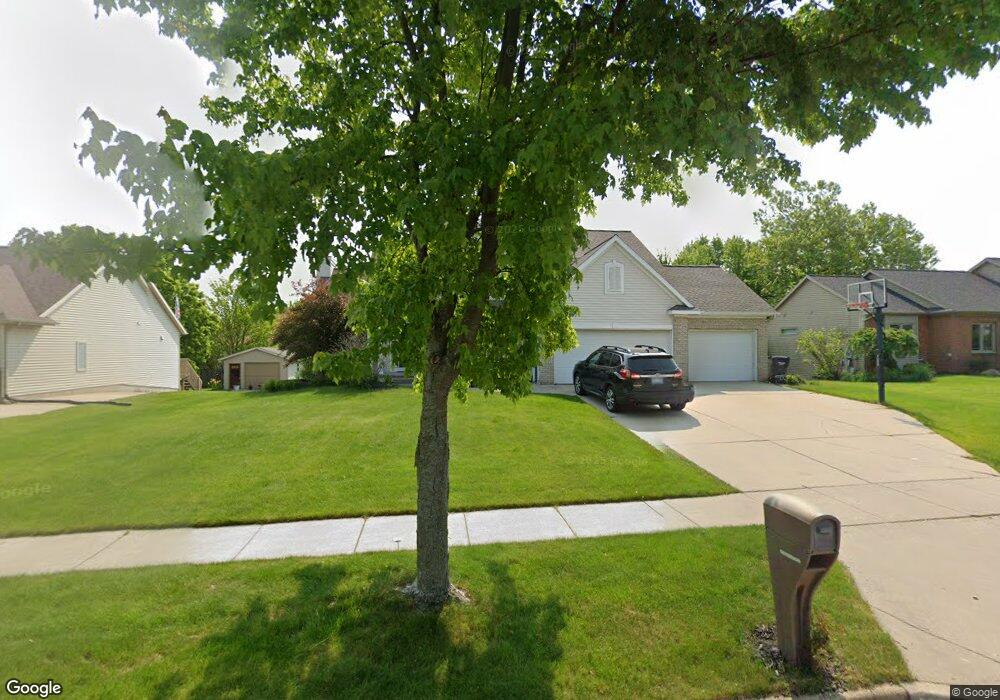
1932 Awixa St NW Grand Rapids, MI 49534
Estimated Value: $526,000 - $571,000
4
Beds
4
Baths
3,100
Sq Ft
$177/Sq Ft
Est. Value
About This Home
This home is located at 1932 Awixa St NW, Grand Rapids, MI 49534 and is currently estimated at $549,261, approximately $177 per square foot. 1932 Awixa St NW is a home located in Kent County with nearby schools including Kenowa Hills Central Elementary School, Kenowa Hills Middle School, and Kenowa Hills High School.
Ownership History
Date
Name
Owned For
Owner Type
Purchase Details
Closed on
Oct 31, 2024
Sold by
Singh Manjit
Bought by
Singh Manjit and Singh Rohpinder
Current Estimated Value
Purchase Details
Closed on
Oct 22, 2012
Sold by
Singh Gail and Kaur Baljindker
Bought by
Singh Manjit
Home Financials for this Owner
Home Financials are based on the most recent Mortgage that was taken out on this home.
Original Mortgage
$180,000
Interest Rate
2.66%
Mortgage Type
New Conventional
Purchase Details
Closed on
Jun 20, 2006
Sold by
Shabluk David and Shabluk Billie Jo
Bought by
Singh Gail
Home Financials for this Owner
Home Financials are based on the most recent Mortgage that was taken out on this home.
Original Mortgage
$40,500
Interest Rate
6.73%
Mortgage Type
Stand Alone Second
Purchase Details
Closed on
Jan 11, 2000
Bought by
Shabluk David and Singh Manjit
Create a Home Valuation Report for This Property
The Home Valuation Report is an in-depth analysis detailing your home's value as well as a comparison with similar homes in the area
Home Values in the Area
Average Home Value in this Area
Purchase History
| Date | Buyer | Sale Price | Title Company |
|---|---|---|---|
| Singh Manjit | -- | None Listed On Document | |
| Singh Manjit | $240,000 | Lighthouse Title Inc | |
| Singh Gail | $270,000 | Lighthouse Title Inc | |
| Shabluk David | $31,900 | -- |
Source: Public Records
Mortgage History
| Date | Status | Borrower | Loan Amount |
|---|---|---|---|
| Previous Owner | Singh Manjit | $180,000 | |
| Previous Owner | Singh Gail | $40,500 | |
| Previous Owner | Singh Gail | $216,000 |
Source: Public Records
Tax History Compared to Growth
Tax History
| Year | Tax Paid | Tax Assessment Tax Assessment Total Assessment is a certain percentage of the fair market value that is determined by local assessors to be the total taxable value of land and additions on the property. | Land | Improvement |
|---|---|---|---|---|
| 2025 | $3,524 | $262,500 | $0 | $0 |
| 2024 | $3,524 | $226,200 | $0 | $0 |
| 2023 | $3,370 | $207,700 | $0 | $0 |
| 2022 | $3,625 | $191,500 | $0 | $0 |
| 2021 | $3,533 | $178,700 | $0 | $0 |
| 2020 | $3,070 | $169,200 | $0 | $0 |
| 2019 | $3,320 | $153,600 | $0 | $0 |
| 2018 | $3,320 | $142,300 | $0 | $0 |
| 2017 | $3,227 | $129,700 | $0 | $0 |
| 2016 | $3,101 | $123,300 | $0 | $0 |
| 2015 | $2,929 | $123,300 | $0 | $0 |
| 2013 | -- | $109,300 | $0 | $0 |
Source: Public Records
Map
Nearby Homes
- 3560 Richmond St NW
- 1781 Mullins Ave NW
- 1596 Geddes Ave NW
- 1733 Whitmore Ave NW
- 3120 Richmond St NW
- 3080 Richmond St NW
- 2140 Kinney Ave NW
- 1524 Stark Ave NW
- 2220 Elmridge Dr NW
- 2558 Meadow Ridge Dr
- 1300 Lancaster Ave NW
- 2549 Meadow Ridge Dr Unit 51
- 1289 Lancaster Ave NW
- 2551 Kinney Ave NW
- 1537 Browning Dr
- 2716 Elmridge Dr NW
- 3405 3 Mile Rd NW
- 1869 Wilson Ave NW
- 1302 Hillburn Ave NW
- 2530 Westbrook Dr NW
- 1920 Awixa St NW
- 1933 Ruthven Ave NW
- 1945 Ruthven Ave NW
- 1956 Awixa St NW
- 1921 Ruthven Ave NW
- 1908 Awixa St NW
- 1935 Awixa St NW
- 1947 Awixa St NW
- 1957 Ruthven Ave NW
- 1923 Awixa St NW
- 1909 Ruthven Ave NW
- 1959 Awixa St NW
- 1896 Awixa St NW
- 1968 Awixa St NW
- 1969 Ruthven Ave NW
- 1897 Ruthven Ave NW
- 3547 Awixa Ct NW
- 1971 Awixa St NW
- 1891 Awixa St NW
- 1926 Ruthven Ave NW