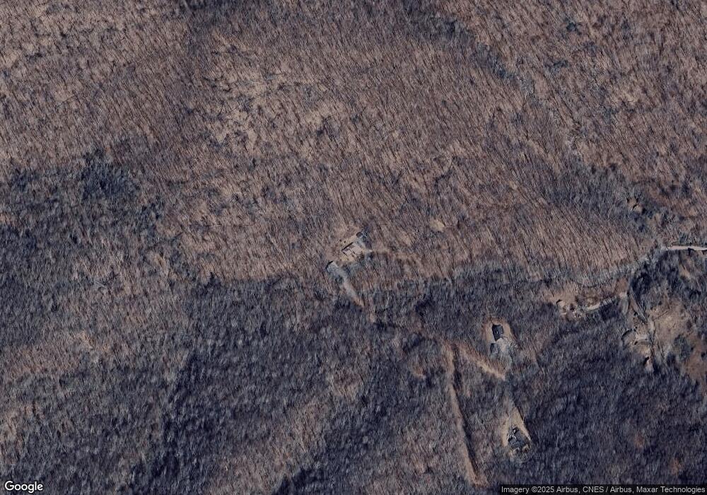
Estimated Value: $590,000 - $746,654
3
Beds
4
Baths
2,280
Sq Ft
$297/Sq Ft
Est. Value
About This Home
This home is located at 1932 Ball Branch Rd, Boone, NC 28607 and is currently estimated at $677,164, approximately $297 per square foot. 1932 Ball Branch Rd is a home located in Watauga County with nearby schools including Green Valley Elementary School and Watauga High School.
Ownership History
Date
Name
Owned For
Owner Type
Purchase Details
Closed on
Oct 20, 2021
Sold by
Pierce Chester A and Pierce Carol J
Bought by
Naoum Richard N and Naoum Stephanie A
Current Estimated Value
Create a Home Valuation Report for This Property
The Home Valuation Report is an in-depth analysis detailing your home's value as well as a comparison with similar homes in the area
Home Values in the Area
Average Home Value in this Area
Purchase History
| Date | Buyer | Sale Price | Title Company |
|---|---|---|---|
| Naoum Richard N | -- | None Available |
Source: Public Records
Tax History Compared to Growth
Tax History
| Year | Tax Paid | Tax Assessment Tax Assessment Total Assessment is a certain percentage of the fair market value that is determined by local assessors to be the total taxable value of land and additions on the property. | Land | Improvement |
|---|---|---|---|---|
| 2024 | $2,354 | $583,700 | $48,000 | $535,700 |
| 2023 | $2,308 | $583,700 | $48,000 | $535,700 |
| 2022 | $2,308 | $583,700 | $48,000 | $535,700 |
| 2021 | $1,717 | $343,800 | $36,900 | $306,900 |
| 2020 | $1,717 | $343,800 | $36,900 | $306,900 |
| 2019 | $1,717 | $343,800 | $36,900 | $306,900 |
| 2018 | $1,546 | $343,800 | $36,900 | $306,900 |
| 2017 | $1,546 | $343,800 | $36,900 | $306,900 |
| 2013 | -- | $346,100 | $36,900 | $309,200 |
Source: Public Records
Map
Nearby Homes
- TBD Grady Winkler Rd
- TBD Knob Hill Rd
- 1165 Sugarloaf Rd
- 904 Bryan Hollow Rd
- 770 Grady Winkler Rd
- 3209 Howards Creek Rd
- 6104 Howards Creek Rd
- TBD Cobbs Creek Rd
- Tract 1 Spring Mountain Trail
- Tract 3 Spring Mountain Trail
- 751 Millers Pond Ln
- 122 Dr
- Lot 47 Poplar Forest Dr
- Lot 36 Poplar Forest Dr
- TBD (Lot 9) Poplar Forest Dr
- 335 the Mulberry Cove Rd
- 5033 Junaluska Rd
- TBD Poplar Forest Dr
- 304 the Mulberry Cove Rd
- #62 Poplar Forest Dr
- TBD Ball Branch Rd
- 2086 Ball Branch Rd
- 2085 Ball Branch Rd
- 1950 Ball Branch Rd
- 2085 Ball Branch
- 1896 Ball Branch Rd
- 1879 Ball Branch Rd
- 1945 Ball Branch Rd
- 1811 Ball Branch Rd
- 405 Knob Hill Rd
- 703 Knob Hill Rd
- 1730 Ball Branch Rd
- 2520 Chestnut Grove Rd
- 1755 Ball Branch Rd Unit 1811
- 373 Knob Hill Rd
- 1737 Ball Branch Rd
- 238 Knob Hill Rd
- 220 Knob Hill Rd
- 199 Knob Hill Rd
- 1322 Grady Winkler Rd
