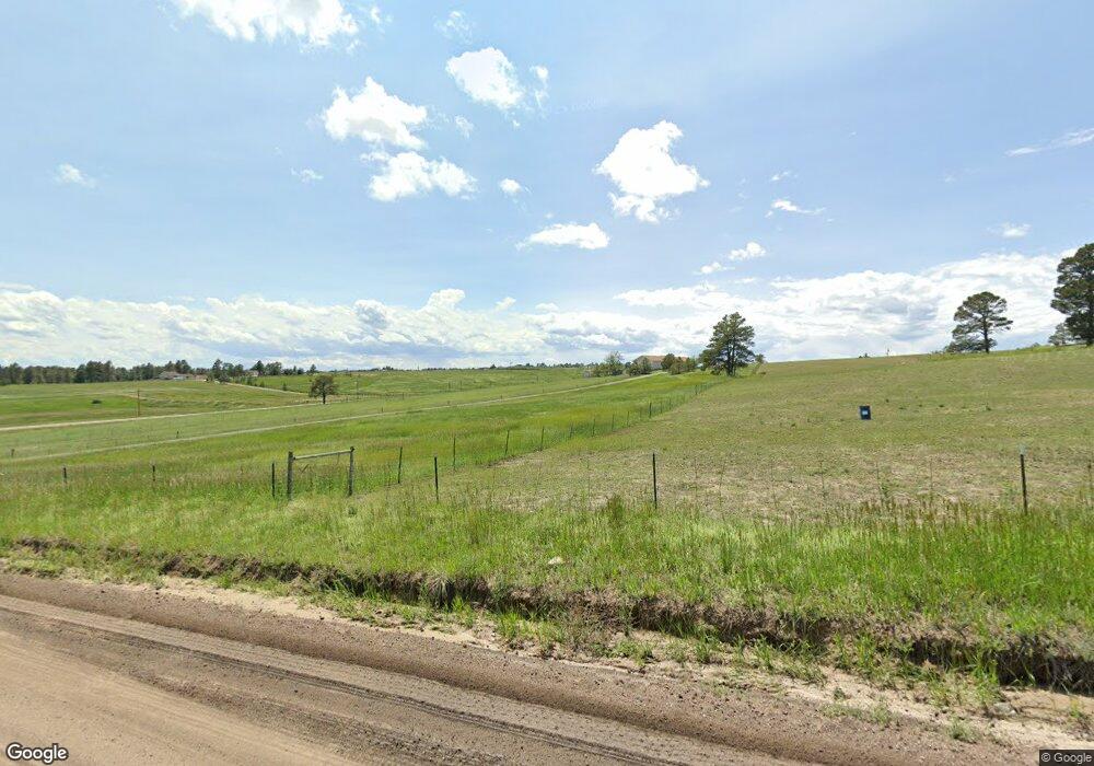
1932 Buttercup Rd Elizabeth, CO 80107
Ponderosa Park NeighborhoodEstimated Value: $840,180 - $957,000
4
Beds
3
Baths
3,319
Sq Ft
$269/Sq Ft
Est. Value
About This Home
This home is located at 1932 Buttercup Rd, Elizabeth, CO 80107 and is currently estimated at $894,295, approximately $269 per square foot. 1932 Buttercup Rd is a home located in Elbert County with nearby schools including Elizabeth High School.
Ownership History
Date
Name
Owned For
Owner Type
Purchase Details
Closed on
Mar 3, 2020
Sold by
Nolen Brandt and Nolen Katelyn
Bought by
Anderson Mark Boyd and Eggink Nancy Kay
Current Estimated Value
Purchase Details
Closed on
Sep 2, 2016
Sold by
Matamales Gerard E and Matamales Janet M
Bought by
Nolen Brandt and Nolen Katelyn
Home Financials for this Owner
Home Financials are based on the most recent Mortgage that was taken out on this home.
Original Mortgage
$407,200
Interest Rate
3.48%
Mortgage Type
New Conventional
Create a Home Valuation Report for This Property
The Home Valuation Report is an in-depth analysis detailing your home's value as well as a comparison with similar homes in the area
Home Values in the Area
Average Home Value in this Area
Purchase History
| Date | Buyer | Sale Price | Title Company |
|---|---|---|---|
| Anderson Mark Boyd | $627,000 | Land Title Guarantee Company | |
| Nolen Brandt | $509,000 | Land Title Guarantee Company |
Source: Public Records
Mortgage History
| Date | Status | Borrower | Loan Amount |
|---|---|---|---|
| Previous Owner | Nolen Brandt | $407,200 |
Source: Public Records
Tax History Compared to Growth
Tax History
| Year | Tax Paid | Tax Assessment Tax Assessment Total Assessment is a certain percentage of the fair market value that is determined by local assessors to be the total taxable value of land and additions on the property. | Land | Improvement |
|---|---|---|---|---|
| 2024 | $3,725 | $49,200 | $12,470 | $36,730 |
| 2023 | $3,725 | $49,200 | $12,470 | $36,730 |
| 2022 | $3,755 | $46,980 | $12,160 | $34,820 |
| 2021 | $3,847 | $48,330 | $12,510 | $35,820 |
| 2020 | $2,999 | $37,460 | $10,370 | $27,090 |
| 2019 | $3,002 | $37,460 | $10,370 | $27,090 |
| 2018 | $2,426 | $29,960 | $9,360 | $20,600 |
| 2017 | $2,428 | $29,960 | $9,360 | $20,600 |
| 2016 | $1,367 | $24,510 | $9,950 | $14,560 |
| 2015 | $2,003 | $24,510 | $9,950 | $14,560 |
| 2014 | $2,003 | $23,430 | $10,110 | $13,320 |
Source: Public Records
Map
Nearby Homes
- 1980 Woodpecker Ln
- 37536 Bluebird Ln
- 36023 Winchester Rd
- 1151 Buttercup Rd
- 2035 Savage Rd
- 37054 Still Rock
- 2464 Remington Rd
- 2501 Remington Rd
- 36684 Mossberg Ct
- 1312 Gambel Oaks Dr
- 2314 Savage Rd
- 36888 View Ridge Dr
- 2642 Savage Rd
- 0 Ponderosa Ln
- 549 Panorama Dr Unit 4
- 372 Stagecoach Trail
- 294 Panorama Dr
- 3163 Windstream Ln
- 38801 Newport Ln
- 121 County Road 146
- 1968 Buttercup Rd
- 1896 Buttercup Rd
- 1951 County Road 150
- 1897 Buttercup Rd
- 1967 Buttercup Rd
- 1864 Buttercup Rd
- 1928 Woodpecker Ln
- 1393 Buffalo Trail
- 1873 Buttercup Rd
- 1965 Woodpecker Ln
- 1971 County Road 150
- 1991 Woodpecker Ln
- 1604 Grouse Dr
- 1343 Buffalo Trail
- 1851 Buttercup Rd
- 1777 Grouse Dr
- 1382 Buffalo Trail
- 1845 Buttercup Rd
- 2017 Woodpecker Ln
- 1973 County Road 150
