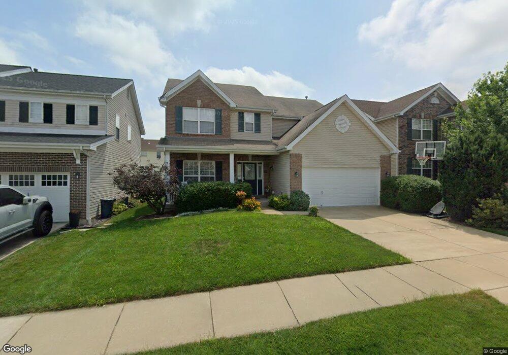
1932 Crossbridge Ct Saint Charles, MO 63303
Estimated Value: $499,476 - $630,000
4
Beds
4
Baths
2,560
Sq Ft
$216/Sq Ft
Est. Value
About This Home
This home is located at 1932 Crossbridge Ct, Saint Charles, MO 63303 and is currently estimated at $553,619, approximately $216 per square foot. 1932 Crossbridge Ct is a home located in St. Charles County with nearby schools including Harvest Ridge Elementary School, Barnwell Middle School, and Francis Howell North High School.
Ownership History
Date
Name
Owned For
Owner Type
Purchase Details
Closed on
Jun 4, 2010
Sold by
Mcbride Talbridge Llc
Bought by
Cotton David G and Cotton Jennifer M
Current Estimated Value
Home Financials for this Owner
Home Financials are based on the most recent Mortgage that was taken out on this home.
Original Mortgage
$191,600
Outstanding Balance
$128,233
Interest Rate
5.02%
Mortgage Type
New Conventional
Estimated Equity
$425,386
Create a Home Valuation Report for This Property
The Home Valuation Report is an in-depth analysis detailing your home's value as well as a comparison with similar homes in the area
Home Values in the Area
Average Home Value in this Area
Purchase History
| Date | Buyer | Sale Price | Title Company |
|---|---|---|---|
| Cotton David G | $246,966 | Dependable Title Llc |
Source: Public Records
Mortgage History
| Date | Status | Borrower | Loan Amount |
|---|---|---|---|
| Open | Cotton David G | $191,600 |
Source: Public Records
Tax History Compared to Growth
Tax History
| Year | Tax Paid | Tax Assessment Tax Assessment Total Assessment is a certain percentage of the fair market value that is determined by local assessors to be the total taxable value of land and additions on the property. | Land | Improvement |
|---|---|---|---|---|
| 2025 | $5,131 | $87,838 | -- | -- |
| 2024 | $5,131 | $86,740 | -- | -- |
| 2023 | $5,129 | $86,740 | $0 | $0 |
| 2022 | $4,170 | $65,554 | $0 | $0 |
| 2021 | $4,173 | $65,554 | $0 | $0 |
| 2020 | $4,127 | $62,339 | $0 | $0 |
| 2019 | $4,109 | $62,339 | $0 | $0 |
| 2018 | $4,192 | $60,317 | $0 | $0 |
| 2017 | $4,131 | $60,317 | $0 | $0 |
| 2016 | $3,948 | $55,521 | $0 | $0 |
| 2015 | $3,940 | $55,521 | $0 | $0 |
| 2014 | $3,590 | $49,060 | $0 | $0 |
Source: Public Records
Map
Nearby Homes
- 488 Fortress Ct
- 1092 Pierpoint Ln
- 443 Angelique Place
- 397 Montclair Tower Dr
- 377 Sturbridge Dr
- 270 Le Beau Ln
- 248 Le Beau Ln
- 24 Towerbridge Place
- 1033 Sherbrooke Rd
- 16 Hill Pointe Ct
- 1734 Beverly Dr
- 4 Fairview Dr
- 155 Southern Oaks Dr Unit 7A
- 22 Biloxi Ct
- 23 Melody Ln S
- 13 Melody Ln S
- 2006 Avignon Ct Unit D
- 2027 Ami Ct Unit 20E
- 2074 Duclair Pkwy
- 301 San Juan Dr
- 1936 Crossbridge Ct
- 1928 Crossbridge Ct
- 1940 Crossbridge Ct
- 1924 Crossbridge Ct
- 1929 Bridgecrest Crossing
- 1925 Bridgecrest Crossing
- 1933 Bridgecrest Crossing
- 1944 Crossbridge Ct
- 1920 Crossbridge Ct
- 1921 Bridgecrest Crossing
- 1937 Bridgecrest Crossing
- 1933 Crossbridge Ct
- 1937 Crossbridge Ct
- 1929 Crossbridge Ct
- 1917 Bridgecrest Crossing
- 1941 Bridgecrest Crossing
- 1941 Crossbridge Ct
- 1916 Crossbridge Ct
- 1945 Crossbridge Ct
- 1921 Crossbridge Ct