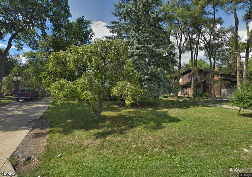
1932 Devonshire Rd Unit Bldg-Unit Bloomfield Hills, MI 48302
Estimated Value: $274,130 - $304,000
3
Beds
2
Baths
1,222
Sq Ft
$234/Sq Ft
Est. Value
About This Home
This home is located at 1932 Devonshire Rd Unit Bldg-Unit, Bloomfield Hills, MI 48302 and is currently estimated at $285,783, approximately $233 per square foot. 1932 Devonshire Rd Unit Bldg-Unit is a home located in Oakland County with nearby schools including Eastover Elementary School, Bloomfield Hills High School, and Great Lakes Academy.
Ownership History
Date
Name
Owned For
Owner Type
Purchase Details
Closed on
Dec 21, 2023
Sold by
Grippo Julie Abel
Bought by
Basha Medhat and Sharaf Ruba
Current Estimated Value
Home Financials for this Owner
Home Financials are based on the most recent Mortgage that was taken out on this home.
Original Mortgage
$235,856
Outstanding Balance
$231,896
Interest Rate
7.44%
Mortgage Type
FHA
Estimated Equity
$53,887
Purchase Details
Closed on
Dec 13, 2023
Sold by
Grippo Family Trust
Bought by
Abel-Grippo Julie
Home Financials for this Owner
Home Financials are based on the most recent Mortgage that was taken out on this home.
Original Mortgage
$235,856
Outstanding Balance
$231,896
Interest Rate
7.44%
Mortgage Type
FHA
Estimated Equity
$53,887
Purchase Details
Closed on
Oct 31, 2023
Sold by
Grippo Daniel Thomas
Bought by
Grippo Julie Abel
Home Financials for this Owner
Home Financials are based on the most recent Mortgage that was taken out on this home.
Original Mortgage
$235,856
Outstanding Balance
$231,896
Interest Rate
7.44%
Mortgage Type
FHA
Estimated Equity
$53,887
Purchase Details
Closed on
Jan 3, 2013
Sold by
Secretary Of Housing & Urban Development
Bought by
Grippo Daniel
Purchase Details
Closed on
Oct 29, 2012
Sold by
Michigan State Housing Development Autho
Bought by
Secretary Of Housing & Urban Development
Purchase Details
Closed on
Jan 31, 2012
Sold by
Oneill Amanda M and John Adams Mortgage Company
Bought by
Michigan State Housing Development Autho
Purchase Details
Closed on
Aug 29, 2008
Sold by
Joseph A Puhy Living Trust and Puhy Joseph A
Bought by
Oneill Amanda M
Home Financials for this Owner
Home Financials are based on the most recent Mortgage that was taken out on this home.
Original Mortgage
$124,630
Interest Rate
6.66%
Mortgage Type
FHA
Purchase Details
Closed on
Aug 22, 2001
Sold by
Puhy Joseph A
Bought by
Joseph A Puhy Tr
Create a Home Valuation Report for This Property
The Home Valuation Report is an in-depth analysis detailing your home's value as well as a comparison with similar homes in the area
Home Values in the Area
Average Home Value in this Area
Purchase History
| Date | Buyer | Sale Price | Title Company |
|---|---|---|---|
| Basha Medhat | $244,000 | None Listed On Document | |
| Basha Medhat | $244,000 | None Listed On Document | |
| Basha Medhat | $244,000 | None Listed On Document | |
| Abel-Grippo Julie | -- | None Listed On Document | |
| Grippo Julie Abel | -- | None Listed On Document | |
| Grippo Julie Abel | -- | None Listed On Document | |
| Grippo Daniel | $83,000 | None Available | |
| Secretary Of Housing & Urban Development | -- | None Available | |
| Michigan State Housing Development Autho | $126,197 | None Available | |
| Oneill Amanda M | $125,000 | Title Source Inc | |
| Joseph A Puhy Tr | -- | -- |
Source: Public Records
Mortgage History
| Date | Status | Borrower | Loan Amount |
|---|---|---|---|
| Open | Basha Medhat | $235,856 | |
| Closed | Basha Medhat | $235,856 | |
| Previous Owner | Oneill Amanda M | $124,630 |
Source: Public Records
Tax History Compared to Growth
Tax History
| Year | Tax Paid | Tax Assessment Tax Assessment Total Assessment is a certain percentage of the fair market value that is determined by local assessors to be the total taxable value of land and additions on the property. | Land | Improvement |
|---|---|---|---|---|
| 2024 | $1,914 | $102,840 | $0 | $0 |
| 2023 | $1,352 | $92,510 | $0 | $0 |
| 2022 | $2,534 | $82,700 | $0 | $0 |
| 2021 | $2,467 | $78,830 | $0 | $0 |
| 2020 | $1,192 | $73,850 | $0 | $0 |
| 2019 | $2,317 | $67,800 | $0 | $0 |
| 2018 | $2,271 | $66,880 | $0 | $0 |
| 2017 | $2,236 | $64,550 | $0 | $0 |
| 2016 | $2,230 | $60,320 | $0 | $0 |
| 2015 | -- | $55,020 | $0 | $0 |
| 2014 | -- | $44,330 | $0 | $0 |
| 2011 | -- | $39,490 | $0 | $0 |
Source: Public Records
Map
Nearby Homes
- 95 Hillsdale Rd
- 00 S Berkshire
- 2449 Mulberry Square Unit 31
- 2383 Mulberry Square Unit 72
- 2449 Mulberry Square Unit 28
- 2442 Mulberry Square Unit 36
- 2665 Lahser Rd
- 136 Belroi Place
- 454 N Fox Hills Dr Unit A-8
- 1987 Hunters Ridge Dr
- 480 Fox Hills Dr N Unit 6
- 433 Fox Hills Dr S Unit 5
- 200 Astorwood St
- 448 Fox Hills Dr S Unit 3
- 2625 Plum Brook Dr
- 240 Applewood Ln
- 42160 Woodward Ave Unit 8
- 42160 Woodward Ave
- 200 Cedardale Ave
- 363 Sycamore Ct
- 1932 Devonshire Rd
- 1948 Devonshire Rd
- 1916 Devonshire Rd
- 1964 Devonshire Rd
- 290 E Berkshire Rd
- 1949 Devonshire Rd
- 1933 Devonshire Rd
- 1980 Devonshire Rd
- 1915 Devonshire Rd
- 1979 Devonshire Rd
- 1996 Devonshire Rd
- 2140 Lancaster Rd
- 2150 Lancaster Rd
- 2130 Lancaster Rd
- 2160 Lancaster Rd
- 2012 Devonshire Rd
- 276 E Berkshire Rd
- 415 Marlborough Dr
- 2017 Devonshire Rd
- 2170 Lancaster Rd