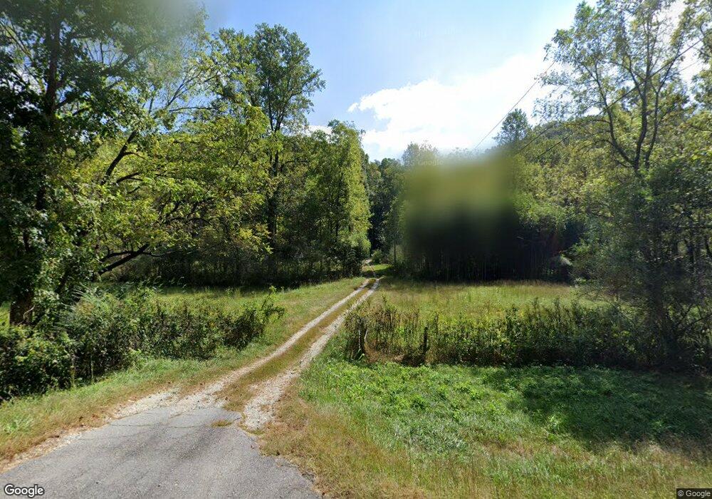
1932 Long Branch Rd Dahlonega, GA 30533
Estimated Value: $456,000 - $753,000
--
Bed
--
Bath
1,344
Sq Ft
$453/Sq Ft
Est. Value
About This Home
This home is located at 1932 Long Branch Rd, Dahlonega, GA 30533 and is currently estimated at $609,405, approximately $453 per square foot. 1932 Long Branch Rd is a home with nearby schools including Clay County Middle School and Lumpkin County High School.
Ownership History
Date
Name
Owned For
Owner Type
Purchase Details
Closed on
Mar 19, 2024
Sold by
Macbeth Mary Catherine Trust
Bought by
Macbeth John Brian and Macbeth Robert Blair
Current Estimated Value
Purchase Details
Closed on
Apr 21, 2018
Sold by
Macbeth Mary Catherine
Bought by
Macbeth Mary Catherine Trust and Mary Catherine Macbeth Revocable Living
Purchase Details
Closed on
Dec 10, 2009
Sold by
Macbeth Mary Catherine
Bought by
Macbeth John Brian
Purchase Details
Closed on
Nov 1, 1980
Sold by
Macbeth Mary C
Bought by
Macbeth Mary C
Purchase Details
Closed on
Mar 1, 1977
Bought by
Macbeth Mary C
Create a Home Valuation Report for This Property
The Home Valuation Report is an in-depth analysis detailing your home's value as well as a comparison with similar homes in the area
Home Values in the Area
Average Home Value in this Area
Purchase History
| Date | Buyer | Sale Price | Title Company |
|---|---|---|---|
| Macbeth John Brian | -- | -- | |
| Macbeth Mary Catherine Trust | -- | -- | |
| Macbeth Mary Catherine Trust | $441,048 | -- | |
| Macbeth John Brian | -- | -- | |
| Macbeth Mary C | -- | -- | |
| Macbeth Mary C | -- | -- |
Source: Public Records
Tax History Compared to Growth
Tax History
| Year | Tax Paid | Tax Assessment Tax Assessment Total Assessment is a certain percentage of the fair market value that is determined by local assessors to be the total taxable value of land and additions on the property. | Land | Improvement |
|---|---|---|---|---|
| 2024 | $335 | $184,809 | $145,615 | $39,194 |
| 2023 | $2,115 | $176,419 | $139,900 | $36,519 |
| 2022 | $100 | $161,809 | $127,182 | $34,627 |
| 2021 | $98 | $155,729 | $127,182 | $28,547 |
| 2020 | $95 | $154,911 | $127,182 | $27,729 |
| 2019 | $90 | $154,911 | $127,182 | $27,729 |
| 2018 | $91 | $151,732 | $127,182 | $24,550 |
| 2017 | $87 | $151,972 | $127,182 | $24,790 |
| 2016 | $85 | $148,702 | $127,182 | $21,520 |
| 2015 | $65 | $148,702 | $127,182 | $21,520 |
| 2014 | $65 | $149,057 | $127,182 | $21,875 |
| 2013 | -- | $149,766 | $127,181 | $22,585 |
Source: Public Records
Map
Nearby Homes
- 0 Gold Crest Dr Unit 7623108
- 0 Gold Crest Dr Unit 10373986
- 2041 Long Branch Rd
- 2041 Long Branch Rd Unit TRACT 2A
- 201 Perkins Rd
- 205 Perkins Rd
- 245 Perkins Rd
- 72 Rustin Ridge Unit 276
- 58 Rustin Ridge Unit 278
- 42 Rustin Ridge Unit 285
- 668 Gold Cove Dr
- 1376 Robinson Rd
- 85 Waterloo Dr
- 0 Gold View Dr
- 38 Cavender Run
- 0 Stamp Mill Dr
- 133 Stamp Mill Dr
- 134 Prospector Ridge
- 0 Robinson Rd Unit 10597950
- 0 Robinson Rd Unit 7643549
- 1934 Long Branch Rd
- 6 Buckeye Ln N
- 6 Buckeye Ln
- 0 Buckeye Ln
- 0 Buckeye Ln Unit 3191545
- 162 Gold View Dr
- 71 Buckeye Ln N
- 122 Gold View
- 19 Buckeye Ln
- 50 Gold View Dr
- 0 Gold Crest Dr Unit 5983155
- 0 Gold Crest Dr Unit 8346873
- 0 Gold Crest Dr Unit 8297855
- 0 Gold Crest Dr Unit 5 7531479
- 0 Gold Crest Dr
- 0 Gold Crest Dr Unit 7451651
- 0 Gold Crest Dr Unit 10021297
- 0 Gold Crest Dr Unit 8044474
- 0 Gold Crest Dr Unit 3190911