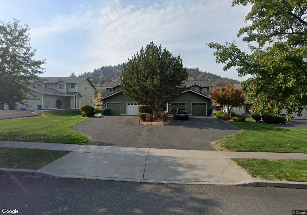
1932 NE Sams Loop Bend, OR 97701
Mountain View NeighborhoodEstimated Value: $896,306 - $1,243,000
8
Beds
12
Baths
4,578
Sq Ft
$245/Sq Ft
Est. Value
About This Home
This home is located at 1932 NE Sams Loop, Bend, OR 97701 and is currently estimated at $1,122,102, approximately $245 per square foot. 1932 NE Sams Loop is a home located in Deschutes County with nearby schools including Juniper Elementary School, Bend Senior High School, and Eastmont Community School.
Ownership History
Date
Name
Owned For
Owner Type
Purchase Details
Closed on
Apr 11, 2012
Sold by
Howard Francis R and Howard Sally Ann
Bought by
Howard Francis Robert and Howard Sally Ann
Current Estimated Value
Purchase Details
Closed on
Sep 7, 2011
Sold by
Efkr Properties Ii Llc
Bought by
Howard Francis Robert and Howard Sally Ann
Purchase Details
Closed on
Jan 1, 2009
Sold by
Franklin Kaye and Franklin Regena
Bought by
Efkr Properties Ii Llc
Purchase Details
Closed on
Jan 14, 2008
Sold by
Russell Jeanne Carol
Bought by
Franklin Kaye and Franklin Regena P
Create a Home Valuation Report for This Property
The Home Valuation Report is an in-depth analysis detailing your home's value as well as a comparison with similar homes in the area
Home Values in the Area
Average Home Value in this Area
Purchase History
| Date | Buyer | Sale Price | Title Company |
|---|---|---|---|
| Howard Francis Robert | -- | None Available | |
| Howard Francis Robert | $329,000 | First American Title | |
| Efkr Properties Ii Llc | -- | None Available | |
| Franklin Kaye | -- | Amerititle |
Source: Public Records
Tax History Compared to Growth
Tax History
| Year | Tax Paid | Tax Assessment Tax Assessment Total Assessment is a certain percentage of the fair market value that is determined by local assessors to be the total taxable value of land and additions on the property. | Land | Improvement |
|---|---|---|---|---|
| 2025 | $9,277 | $549,060 | -- | -- |
| 2024 | $8,925 | $533,070 | -- | -- |
| 2023 | $8,274 | $517,550 | $0 | $0 |
| 2022 | $7,719 | $487,849 | $0 | $0 |
| 2021 | $7,731 | $473,650 | $0 | $0 |
| 2020 | $7,335 | $473,650 | $0 | $0 |
| 2019 | $7,130 | $459,860 | $0 | $0 |
| 2018 | $6,929 | $446,470 | $0 | $0 |
| 2017 | $6,726 | $433,470 | $0 | $0 |
| 2016 | $6,414 | $420,850 | $0 | $0 |
| 2015 | $6,237 | $408,600 | $0 | $0 |
| 2014 | $6,014 | $396,700 | $0 | $0 |
Source: Public Records
Map
Nearby Homes
- 1072 NE Parkview Ct
- 1767 NE Lotus Dr Unit 1 and 2
- 940 NE Purcell Blvd
- 1419 NE Lucinda Ct
- 940 NE Paula Dr Unit 21
- 1687 NE Lotus Dr
- 21019 Carl St
- 62025 NE Nate's Place
- 98 NE Telima Ln
- 62001 NE Nates Place
- 1622 NE Parkridge Dr
- 1630 NE 13th St
- 1188 NE 27th St Unit 71
- 1188 NE 27th St Unit 82
- 1297 NE Dawson Dr Unit A&B
- 1848 NE 14th St
- 2025 NE Neil Way
- 2876 NE Forum Dr
- 2011 NE Neil Way
- 1401 NE 10th St
- 1932 NE Sams Loop Unit 1-4
- 1052 NE Parkview Ct
- 1926 NE Sams Loop
- 1056 NE Parkview Ct
- 0 NE Parkview Ct
- 1944 NE Sams Loop
- 1060 NE Parkview Ct
- 1929 NE Sams Loop
- 1948 NE Sams Loop
- 1935 NE Sams Loop
- 1951 NE Sams Loop Unit 1
- 1951 NE Sams Loop
- 1897 NE Derek Dr
- 1064 NE Parkview Ct
- 1059 NE Parkview Ct
- 1891 NE Derek Dr
- 1950 NE Derek Dr Unit 3
- 1950 NE Derek Dr
- 1068 NE Parkview Ct