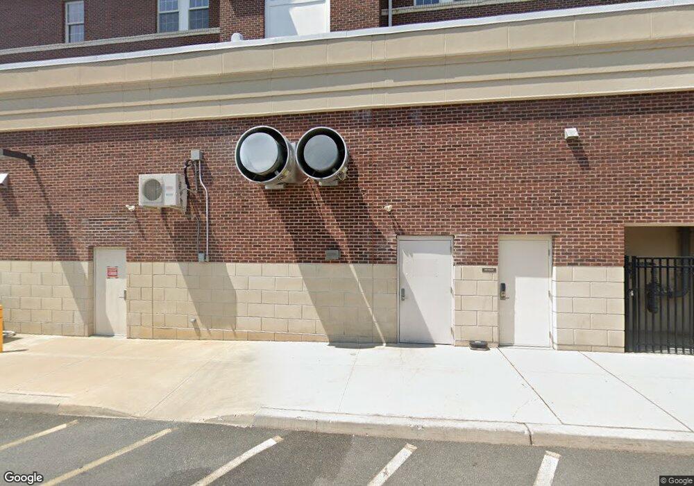
1932 Pennington Rd Ewing, NJ 08618
Ewingville Neighborhood
Studio
--
Bath
1,483
Sq Ft
10,498
Sq Ft
About This Home
This home is located at 1932 Pennington Rd, Ewing, NJ 08618. 1932 Pennington Rd is a home located in Mercer County with nearby schools including Ewing High School and Trenton Stem-To-Civics Charter School.
Ownership History
Date
Name
Owned For
Owner Type
Purchase Details
Closed on
Mar 26, 2014
Sold by
The College Of New Jersey
Bought by
The College Of New Jersey
Purchase Details
Closed on
Oct 26, 2011
Sold by
Trenton State College Cor P and Trenton State College Dev T Corp
Bought by
College Nj
Home Financials for this Owner
Home Financials are based on the most recent Mortgage that was taken out on this home.
Interest Rate
4.11%
Purchase Details
Closed on
Jun 22, 1991
Sold by
Trenton State College
Bought by
Trenton State Coll Dev Corp
Purchase Details
Closed on
Sep 15, 1989
Sold by
Moran Lorraine
Bought by
Trenton State College
Create a Home Valuation Report for This Property
The Home Valuation Report is an in-depth analysis detailing your home's value as well as a comparison with similar homes in the area
Home Values in the Area
Average Home Value in this Area
Purchase History
| Date | Buyer | Sale Price | Title Company |
|---|---|---|---|
| The College Of New Jersey | -- | None Available | |
| College Nj | -- | -- | |
| Trenton State Coll Dev Corp | -- | -- | |
| Trenton State College | $120,000 | -- |
Source: Public Records
Mortgage History
| Date | Status | Borrower | Loan Amount |
|---|---|---|---|
| Closed | College Nj | -- |
Source: Public Records
Tax History
| Year | Tax Paid | Tax Assessment Tax Assessment Total Assessment is a certain percentage of the fair market value that is determined by local assessors to be the total taxable value of land and additions on the property. | Land | Improvement |
|---|---|---|---|---|
| 2025 | -- | $69,600 | $69,600 | -- |
| 2024 | -- | $69,600 | $69,600 | $0 |
Source: Public Records
Map
Nearby Homes
- 41 Harding St
- 71 Carlton Ave
- 20 Steinway Ave
- 161 Louisiana Ave
- 37 van Duyn Dr
- 126 Rutledge Ave
- 6 Van Gogh Ct
- 1060 Terrace Blvd
- 140 Crescent Ave
- 51 van Duyn Dr
- 120 Sussex St
- 13 Hickory Hill Dr
- 40 Arden Ave
- 33 Stratford Ave
- 89 Upper Ferry Rd
- 200 Upland Ave
- 42 Running Brook Rd
- 4 David Dr
- 438 Ewingville Rd
- 21 Dixmont Ave
- 1934 Pennington Rd
- 5211 Main Blvd
- 1929 Pennington Rd
- 1936 Pennington Rd
- 1935 Pennington Rd
- 1938 Pennington Rd
- 3 Campus Ct
- 2 Campus Ct
- 1939 Pennington Rd
- 6 Main Blvd
- 1941 Pennington Rd
- 1923 Pennington Rd
- 1921 Pennington Rd
- 1918 Pennington Rd
- 11 Main Blvd
- 12 Main Blvd
- 1917 Pennington Rd
- 14 Main Blvd
- 1953 Pennington Rd
- 15 Main Blvd Unit A
Your Personal Tour Guide
Ask me questions while you tour the home.