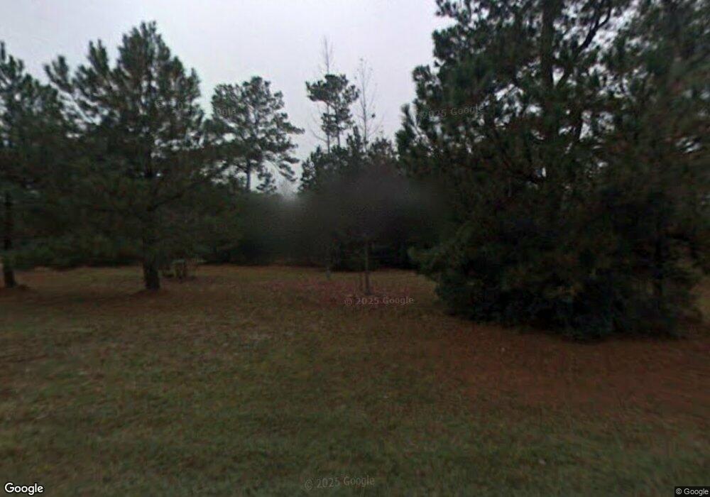
1932 Ronlin Farm Rd Awendaw, SC 29429
Estimated Value: $864,000 - $1,187,000
3
Beds
3
Baths
1,900
Sq Ft
$515/Sq Ft
Est. Value
About This Home
This home is located at 1932 Ronlin Farm Rd, Awendaw, SC 29429 and is currently estimated at $977,566, approximately $514 per square foot. 1932 Ronlin Farm Rd is a home located in Charleston County with nearby schools including St. James Santee School and Wando High School.
Ownership History
Date
Name
Owned For
Owner Type
Purchase Details
Closed on
Jan 25, 2024
Sold by
Yokoyama Nathan A and Yokoyama Jennifer C
Bought by
Nathan Yokoyama Living Trust and Jennifer Clark Yokoyama Living Trust
Current Estimated Value
Purchase Details
Closed on
Mar 12, 2014
Sold by
Russo Steven P and Russo Victoria D
Bought by
Yokoyama Nathan A and Yokoyama Jennifer C
Home Financials for this Owner
Home Financials are based on the most recent Mortgage that was taken out on this home.
Original Mortgage
$332,500
Interest Rate
4.35%
Mortgage Type
New Conventional
Purchase Details
Closed on
Apr 19, 2000
Sold by
Vancott David M and Mccallum Milne
Bought by
Russo Steven P and Russo Victoria D
Create a Home Valuation Report for This Property
The Home Valuation Report is an in-depth analysis detailing your home's value as well as a comparison with similar homes in the area
Home Values in the Area
Average Home Value in this Area
Purchase History
| Date | Buyer | Sale Price | Title Company |
|---|---|---|---|
| Nathan Yokoyama Living Trust | -- | None Listed On Document | |
| Yokoyama Nathan A | $350,000 | -- | |
| Russo Steven P | $129,000 | -- |
Source: Public Records
Mortgage History
| Date | Status | Borrower | Loan Amount |
|---|---|---|---|
| Previous Owner | Yokoyama Nathan A | $332,500 |
Source: Public Records
Tax History Compared to Growth
Tax History
| Year | Tax Paid | Tax Assessment Tax Assessment Total Assessment is a certain percentage of the fair market value that is determined by local assessors to be the total taxable value of land and additions on the property. | Land | Improvement |
|---|---|---|---|---|
| 2024 | $7,233 | $18,530 | $0 | $0 |
| 2023 | $2,722 | $18,530 | $0 | $0 |
| 2022 | $2,510 | $18,530 | $0 | $0 |
| 2021 | $2,574 | $18,530 | $0 | $0 |
| 2020 | $2,602 | $18,530 | $0 | $0 |
| 2019 | $2,280 | $15,460 | $0 | $0 |
| 2017 | $2,203 | $15,460 | $0 | $0 |
| 2016 | $2,121 | $15,460 | $0 | $0 |
| 2015 | $2,117 | $15,460 | $0 | $0 |
| 2014 | $1,725 | $0 | $0 | $0 |
| 2011 | -- | $0 | $0 | $0 |
Source: Public Records
Map
Nearby Homes
- 1382 Eden Rd
- 1392 Eden Rd
- 1422 Dupree Creek Dr
- 1434 Dupree Creek Dr
- 4938 Woodville Rd
- 3881 Cunningham Ct
- 1510 Old Rosebud Trail
- 1480 Jeremy Cay Ct
- 1484 Old Rosebud Trail
- 1467 Jeremy Cay Ct
- 1461 Jeremy Cay Ct Unit Lot 110
- 3917 Delinger Dr
- 3913 Delinger Dr
- 00 James Weston Dr
- 1468 Alligator Creek Ct
- 4638 Cape Island Dr
- 1467 Alligator Creek Ct Unit Lot 104
- 3908 Delinger Dr
- 3854 Delinger Dr
- 3850 Delinger Dr
- 1944 Ronlin Farm Rd
- 4660 Woodville Rd
- 1958 Ronlin Farm Rd
- 4650 Woodville Rd
- 1937 Ronlin Farm Rd
- 0 Ronlin Farm Rd Unit 9810144
- 0 Ronlin Farm Rd Unit 2002500
- 0 Ronlin Farm Rd Unit 9509193
- 0 Ronlin Farm Rd Unit 9302297
- 0 Ronlin Farm Rd Unit 9711906
- 0 Ronlin Farm Rd Unit 9706057
- 0 Ronlin Farm Rd Unit 9706046
- 0 Ronlin Farm Rd Unit 9909111
- 0 Ronlin Farm Rd Unit 9706048
- 0 Ronlin Farm Rd Unit 9706093
- 0 Ronlin Farm Rd Unit 9706082
- 0 Ronlin Farm Rd Unit 9601315
- 0 Ronlin Farm Rd Unit 9302294
- 0 Ronlin Farm Rd Unit 2814203
- 1945 Ronlin Farm Rd
