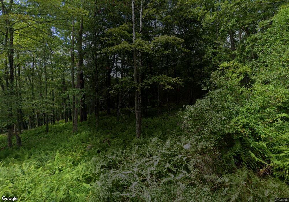
1932 State Route 97 Pond Eddy, NY 12770
Estimated Value: $520,310 - $841,000
4
Beds
2
Baths
2,064
Sq Ft
$316/Sq Ft
Est. Value
About This Home
This home is located at 1932 State Route 97, Pond Eddy, NY 12770 and is currently estimated at $652,578, approximately $316 per square foot. 1932 State Route 97 is a home located in Sullivan County with nearby schools including The Homestead School and Homestead School.
Ownership History
Date
Name
Owned For
Owner Type
Purchase Details
Closed on
Sep 7, 1999
Sold by
Polny Barbara
Bought by
Grood Brian R
Current Estimated Value
Create a Home Valuation Report for This Property
The Home Valuation Report is an in-depth analysis detailing your home's value as well as a comparison with similar homes in the area
Home Values in the Area
Average Home Value in this Area
Purchase History
| Date | Buyer | Sale Price | Title Company |
|---|---|---|---|
| Grood Brian R | $187,000 | Andrew Boyar |
Source: Public Records
Tax History Compared to Growth
Tax History
| Year | Tax Paid | Tax Assessment Tax Assessment Total Assessment is a certain percentage of the fair market value that is determined by local assessors to be the total taxable value of land and additions on the property. | Land | Improvement |
|---|---|---|---|---|
| 2024 | $7,134 | $220,800 | $110,400 | $110,400 |
| 2023 | $7,048 | $220,800 | $110,400 | $110,400 |
| 2022 | $7,257 | $220,800 | $110,400 | $110,400 |
| 2021 | $7,274 | $220,800 | $110,400 | $110,400 |
| 2020 | $7,093 | $220,800 | $110,400 | $110,400 |
| 2019 | $6,554 | $220,800 | $110,400 | $110,400 |
| 2018 | $6,607 | $220,800 | $110,400 | $110,400 |
| 2017 | $6,554 | $220,800 | $110,400 | $110,400 |
| 2016 | $6,508 | $220,800 | $110,400 | $110,400 |
| 2015 | -- | $220,800 | $110,400 | $110,400 |
| 2014 | -- | $220,800 | $110,400 | $110,400 |
Source: Public Records
Map
Nearby Homes
- 9 Swanerbury Rd
- 2139 State Route 97
- 19 Andrew Paye Rd
- 0 Baran Dr Unit KEYH6277083
- 575 Parkers Glen Rd
- 206 High Rd
- 8 Anna Dr
- 502 White Rd
- 469 White Rd
- 11 Willow Ln
- 0 Magnolia Dr Unit KEYH6244809
- Lot 15 Magnolia Dr
- Lot 11 Magnolia Dr
- 271 High Rd
- Lot9.6/7/8/9/10/11/1 Elle Dr
- Lot 9.1 Elle Dr
- 2383 State Route 97
- 224 Upper Lumber Rd
- 0 Taras Shevchenko Rd Unit KEY898153
- Lot 12.6 Taras Shevchenko Rd
- 1936 State Route 97
- 1931 State Route 97
- 1940 Route Unit 97
- 940 Berme Church Rd
- 1950 New York 97
- 1950 State Route 97
- 130 Berme Church Rd
- 3 Berme Church
- 140 Berme Church Rd
- 142 Berme Church Rd
- 150 Berme Church Rd
- 950 Berme Church Rd
- 96 Berme Church Rd
- 1954 State Route 97
- 164 Berm and Church Rd
- 164 Berme Church Rd
- 16 Maxwell Rd
- 10 Maxwell Rd
- 154 Berm and Church Rd
- 1968 State Route 97
