1932 Tramson Dr Unit 102C Austin, TX 78741
Parker Lane NeighborhoodEstimated Value: $308,000 - $332,000
2
Beds
2
Baths
1,310
Sq Ft
$244/Sq Ft
Est. Value
About This Home
This home is located at 1932 Tramson Dr Unit 102C, Austin, TX 78741 and is currently estimated at $320,135, approximately $244 per square foot. 1932 Tramson Dr Unit 102C is a home located in Travis County with nearby schools including Linder Elementary School, Travis Heights Elementary School, and Harmony School of Excellence - Austin.
Ownership History
Date
Name
Owned For
Owner Type
Purchase Details
Closed on
Jul 20, 2011
Sold by
Shires Court Ltd
Bought by
Dragon Hayley and Dragon Emily
Current Estimated Value
Home Financials for this Owner
Home Financials are based on the most recent Mortgage that was taken out on this home.
Original Mortgage
$204,676
Outstanding Balance
$142,396
Interest Rate
4.75%
Mortgage Type
FHA
Estimated Equity
$177,739
Create a Home Valuation Report for This Property
The Home Valuation Report is an in-depth analysis detailing your home's value as well as a comparison with similar homes in the area
Home Values in the Area
Average Home Value in this Area
Purchase History
| Date | Buyer | Sale Price | Title Company |
|---|---|---|---|
| Dragon Hayley | -- | Itc |
Source: Public Records
Mortgage History
| Date | Status | Borrower | Loan Amount |
|---|---|---|---|
| Open | Dragon Hayley | $204,676 |
Source: Public Records
Tax History Compared to Growth
Tax History
| Year | Tax Paid | Tax Assessment Tax Assessment Total Assessment is a certain percentage of the fair market value that is determined by local assessors to be the total taxable value of land and additions on the property. | Land | Improvement |
|---|---|---|---|---|
| 2025 | $6,099 | $367,990 | $30,213 | $337,777 |
| 2023 | $5,468 | $386,353 | $0 | $0 |
| 2022 | $6,937 | $351,230 | $0 | $0 |
| 2021 | $6,950 | $319,300 | $18,883 | $300,417 |
| 2020 | $6,396 | $298,200 | $18,784 | $279,416 |
| 2018 | $6,576 | $297,030 | $18,883 | $278,147 |
| 2017 | $6,303 | $282,636 | $5,924 | $276,712 |
| 2016 | $6,091 | $273,117 | $18,883 | $254,234 |
| 2015 | $4,964 | $223,441 | $19,079 | $204,362 |
| 2014 | $4,964 | $208,598 | $19,079 | $189,519 |
Source: Public Records
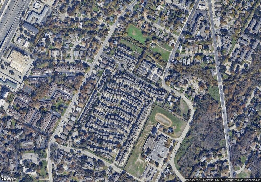
Map
Nearby Homes
- 1916 Warely Ln
- 1900 Teagle Dr
- 2020 Tripshaw Ln Unit 65C
- 2008 Sager Dr Unit 256C
- 2624 Metcalfe Rd Unit 2
- 2624 Metcalfe Rd Unit 17
- 1720 Timber Ridge Dr
- 2001 Iroquois Ln
- 2829 Metcalfe Rd
- 2823 Metcalfe Rd
- 2821 Metcalfe Rd
- 2819 Metcalfe Rd
- 2825 Metcalfe Rd
- 2817 Metcalfe Rd
- 2827 Metcalfe Rd
- 2813 Metcalfe Rd
- 1706 Timber Ridge Dr
- 1710 Timberwood Dr
- 1740 Timber Ridge Rd Unit 132
- 1730 Timber Ridge Rd Unit 152
- 1936 Tramson Dr Unit 103C
- 1936 Tramson Dr
- 1924 Tramson Dr
- 1924 Tramson Dr Unit 100
- 2016 Tramson Dr Unit 145
- 2016 Tramson Dr
- 2000 Tramson Dr Unit 104c
- 2000 Tramson Dr
- 2020 Tramson Dr
- 1924 Tripshaw Ln
- 1924 Tripshaw Ln Unit 80c
- 1937 Tramson Dr Unit 153C
- 2015 Tripshaw Ln
- 1920 Tripshaw Ln Unit 81CG
- 1920 Tripshaw Ln
- 1920 Tramson Dr Unit 99C
- 2002 Tramson Dr Unit 105C
- 2002 Tramson Dr
- 2005 Tramson Dr Unit 149