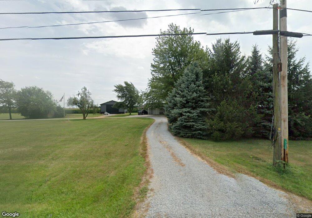
19320 State Route 67 Kenton, OH 43326
Estimated Value: $200,000 - $306,000
5
Beds
2
Baths
2,219
Sq Ft
$106/Sq Ft
Est. Value
About This Home
This home is located at 19320 State Route 67, Kenton, OH 43326 and is currently estimated at $234,834, approximately $105 per square foot. 19320 State Route 67 is a home located in Hardin County with nearby schools including Kenton Elementary School, Kenton Middle School, and Kenton High School.
Ownership History
Date
Name
Owned For
Owner Type
Purchase Details
Closed on
Jan 24, 2020
Sold by
Savage Tayler and Savage Dylan J
Bought by
Kruiter Albert M
Current Estimated Value
Purchase Details
Closed on
Oct 3, 2017
Sold by
Levan Howard and Levan Linda
Bought by
Cottrell Tayler
Home Financials for this Owner
Home Financials are based on the most recent Mortgage that was taken out on this home.
Original Mortgage
$72,000
Interest Rate
3.82%
Mortgage Type
New Conventional
Purchase Details
Closed on
Dec 1, 1988
Create a Home Valuation Report for This Property
The Home Valuation Report is an in-depth analysis detailing your home's value as well as a comparison with similar homes in the area
Home Values in the Area
Average Home Value in this Area
Purchase History
| Date | Buyer | Sale Price | Title Company |
|---|---|---|---|
| Kruiter Albert M | $105,000 | None Available | |
| Cottrell Tayler | $80,000 | Title Source | |
| -- | $12,500 | -- |
Source: Public Records
Mortgage History
| Date | Status | Borrower | Loan Amount |
|---|---|---|---|
| Previous Owner | Cottrell Tayler | $72,000 |
Source: Public Records
Tax History Compared to Growth
Tax History
| Year | Tax Paid | Tax Assessment Tax Assessment Total Assessment is a certain percentage of the fair market value that is determined by local assessors to be the total taxable value of land and additions on the property. | Land | Improvement |
|---|---|---|---|---|
| 2024 | $1,955 | $44,280 | $8,750 | $35,530 |
| 2023 | $1,955 | $44,280 | $8,750 | $35,530 |
| 2022 | $1,843 | $39,200 | $6,510 | $32,690 |
| 2021 | $1,849 | $39,200 | $6,510 | $32,690 |
| 2020 | $1,645 | $39,200 | $6,510 | $32,690 |
| 2019 | $1,321 | $32,900 | $6,300 | $26,600 |
| 2018 | $1,322 | $32,900 | $6,300 | $26,600 |
| 2017 | $1,270 | $32,900 | $6,300 | $26,600 |
| 2016 | $1,036 | $28,260 | $5,780 | $22,480 |
| 2015 | $1,018 | $28,260 | $5,780 | $22,480 |
| 2014 | $1,611 | $28,260 | $5,780 | $22,480 |
| 2013 | $1,098 | $28,260 | $5,780 | $22,480 |
Source: Public Records
Map
Nearby Homes
- 18322 State Route 67
- 21109 State Route 67
- 10483 Township Road 225
- 16877 State Route 67
- 12535 Barbara Dr
- 12126 Pamela Dr
- 12160 Pamela Dr
- 23385 Township Road 126
- 13965 County Road 209
- 9960 State Route 53
- 0 Ohio 309
- 125 Hester St
- 777 Maydoll Dr
- 460 Oriental St
- 0 Township Road 64
- 79 Broadway St
- 115 Scioto St
- 618 N High St
- 530 E Franklin St
- 602 N Wayne St
- 19320 State Route 67
- 19341 State Route 67
- 19341 State Route 67
- 19121 State Route 67
- 9556 Township Road 209
- 9556 Township Rd
- 19581 State Route 67
- 000 Twp Road 205
- 19638 State Route 67
- 9387 County Road 205
- 9087 County Road 205
- 18937 Township Road 100
- 8890 County Road 205
- Lot OS Ohio 67
- 6593 Ohio 67
- 0 Ohio 67
- 19510 County Road 110
- 8949 County Road 215
- 9626 Township Road 215