19327 State Route 530 NE Arlington, WA 98223
Estimated Value: $534,000 - $950,000
3
Beds
2
Baths
1,544
Sq Ft
$452/Sq Ft
Est. Value
About This Home
This home is located at 19327 State Route 530 NE, Arlington, WA 98223 and is currently estimated at $698,333, approximately $452 per square foot. 19327 State Route 530 NE is a home located in Snohomish County with nearby schools including Eagle Creek Elementary School, Post Middle School, and Arlington High School.
Ownership History
Date
Name
Owned For
Owner Type
Purchase Details
Closed on
Aug 8, 1995
Sold by
Larsen Linea
Bought by
Larsen John R and Larsen Deborah A
Current Estimated Value
Purchase Details
Closed on
Jul 12, 1995
Sold by
Larsen Charles E
Bought by
Larsen John R and Larsen Deborah A
Purchase Details
Closed on
Jun 11, 1995
Sold by
Larsen Harold J
Bought by
Larsen John R and Larsen Deborah A
Create a Home Valuation Report for This Property
The Home Valuation Report is an in-depth analysis detailing your home's value as well as a comparison with similar homes in the area
Home Values in the Area
Average Home Value in this Area
Purchase History
| Date | Buyer | Sale Price | Title Company |
|---|---|---|---|
| Larsen John R | -- | Transamerica Title Services | |
| Larsen John R | -- | Transamerica Title Services | |
| Larsen John R | -- | Transamerica Title Services |
Source: Public Records
Tax History Compared to Growth
Tax History
| Year | Tax Paid | Tax Assessment Tax Assessment Total Assessment is a certain percentage of the fair market value that is determined by local assessors to be the total taxable value of land and additions on the property. | Land | Improvement |
|---|---|---|---|---|
| 2025 | $4,470 | $587,600 | $348,400 | $239,200 |
| 2024 | $4,470 | $576,100 | $348,400 | $227,700 |
| 2023 | $4,627 | $621,800 | $368,400 | $253,400 |
| 2022 | $4,287 | $463,100 | $252,800 | $210,300 |
| 2020 | $5,462 | $574,200 | $208,500 | $365,700 |
| 2019 | $4,041 | $362,700 | $199,500 | $163,200 |
| 2018 | $4,056 | $318,100 | $168,600 | $149,500 |
| 2017 | $3,839 | $313,600 | $169,600 | $144,000 |
| 2016 | $3,445 | $263,100 | $122,800 | $140,300 |
| 2015 | $3,844 | $282,800 | $132,300 | $150,500 |
| 2013 | $3,488 | $239,800 | $111,300 | $128,500 |
Source: Public Records
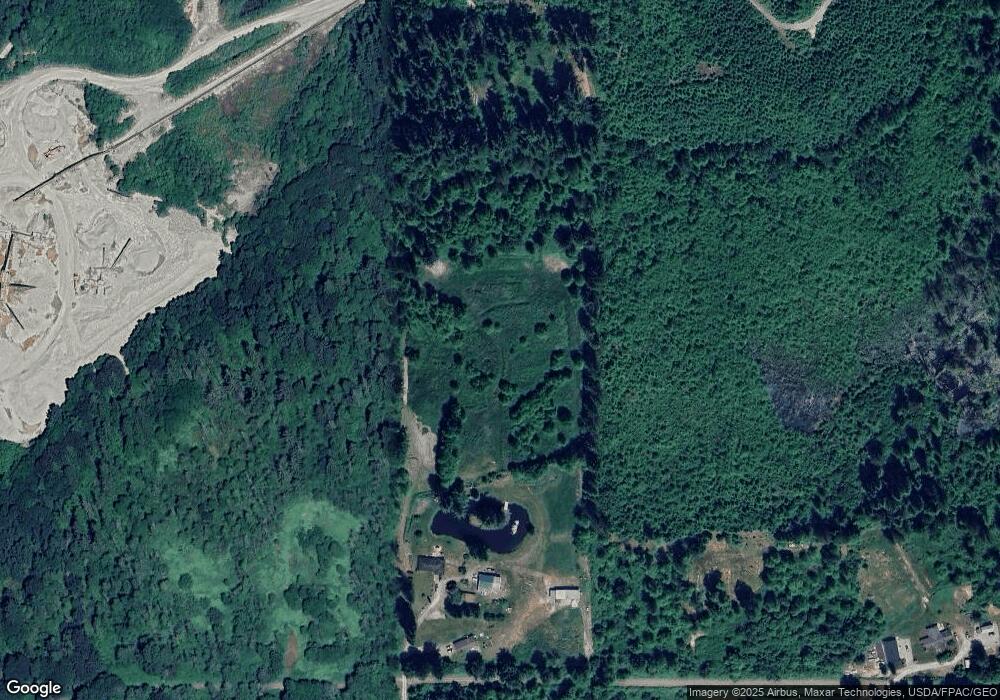
Map
Nearby Homes
- 27525 W Lake Riley Rd
- 35046 N Shore Dr
- 34354 S Shore Dr
- 34989 N Shore Dr
- 18 Xxx Jim Creek Rd
- 0 XXXXX S Shore Dr
- 32966 S Shore Dr
- 34750 S Shore Dr
- 14026 272nd St NE
- 13802 State Route 530 NE
- 33571 Cliff Rd
- 33454 W Shore Dr
- 12327 276th St NE
- 0 Lot 15 W Shore Dr
- 0 XXXXX W Shore Dr
- 32779 S Shore Dr
- 12631 State Route 530 NE
- 8824 Grandview Rd
- 22406 121st Dr NE
- 9620 State Route 530 NE
- 19421 State Route 530 NE
- 19291 State Route 530 NE
- 19527 State Route 530 NE
- 19529 State Route 530 NE
- 19531 State Route 530 NE
- 19801 State Route 530 NE
- 19829 State Route 530 NE
- 19829 State Route 530 NE
- 19807 State Route 530 NE
- 19901 State Route 530 NE
- 19905 State Route 530 NE
- 19907 State Route 530 NE
- 19029 State Route 530 NE
- 20021 State Route 530 NE
- 30312 Ramstad Rd
- 30410 Ramstad Rd
- 30902 Ramstad Rd
- 30311 Ramstad Rd
- 30211 Ramstad Rd
- 30127 Ramstad Rd