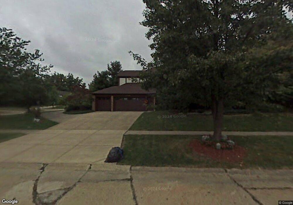
19329 Saratoga Trail Strongsville, OH 44136
Estimated Value: $432,000 - $506,000
4
Beds
3
Baths
2,974
Sq Ft
$158/Sq Ft
Est. Value
About This Home
This home is located at 19329 Saratoga Trail, Strongsville, OH 44136 and is currently estimated at $470,475, approximately $158 per square foot. 19329 Saratoga Trail is a home located in Cuyahoga County with nearby schools including Strongsville High School and Saint Ambrose Catholic School.
Ownership History
Date
Name
Owned For
Owner Type
Purchase Details
Closed on
Aug 16, 2016
Sold by
Wojeiehowski John A and Wojeiehowski Jacquelyn D
Bought by
Wojeiehowskie Family Trust
Current Estimated Value
Purchase Details
Closed on
Apr 18, 1991
Sold by
Molitor William M
Bought by
Wojciehowski John A
Purchase Details
Closed on
Aug 20, 1986
Bought by
Molitor William M
Purchase Details
Closed on
Sep 4, 1985
Bought by
Park West Corporation
Purchase Details
Closed on
Jan 1, 1984
Bought by
Planterra Corp
Create a Home Valuation Report for This Property
The Home Valuation Report is an in-depth analysis detailing your home's value as well as a comparison with similar homes in the area
Home Values in the Area
Average Home Value in this Area
Purchase History
| Date | Buyer | Sale Price | Title Company |
|---|---|---|---|
| Wojeiehowskie Family Trust | -- | Attorney | |
| Wojciehowski John A | $230,000 | -- | |
| Molitor William M | $184,300 | -- | |
| Park West Corporation | $30,000 | -- | |
| Planterra Corp | -- | -- |
Source: Public Records
Tax History Compared to Growth
Tax History
| Year | Tax Paid | Tax Assessment Tax Assessment Total Assessment is a certain percentage of the fair market value that is determined by local assessors to be the total taxable value of land and additions on the property. | Land | Improvement |
|---|---|---|---|---|
| 2024 | $6,126 | $140,280 | $35,805 | $104,475 |
| 2023 | $5,797 | $101,750 | $28,390 | $73,360 |
| 2022 | $5,781 | $101,750 | $28,390 | $73,360 |
| 2021 | $5,735 | $101,750 | $28,390 | $73,360 |
| 2020 | $5,837 | $92,470 | $25,800 | $66,680 |
| 2019 | $5,666 | $264,200 | $73,700 | $190,500 |
| 2018 | $2,571 | $92,470 | $25,800 | $66,680 |
| 2017 | $5,023 | $84,460 | $22,090 | $62,370 |
| 2016 | $4,982 | $84,460 | $22,090 | $62,370 |
| 2015 | $4,931 | $84,460 | $22,090 | $62,370 |
| 2014 | $5,052 | $84,460 | $22,090 | $62,370 |
Source: Public Records
Map
Nearby Homes
- 16711 Beech Cir
- 3550 Boston Rd
- 196 Pinnacle Dr
- 97 Weathervane Ln
- 18411 Yorktown Oval
- 18848 Pearl Rd
- 328 Crestway Oval
- 362 Brantley Ln
- 338 Delaware Dr
- 15604-REAR Boston Rd
- 17934 Cambridge Oval
- 16486 S Red Rock Dr
- 17682 Drake Rd
- 278 Sheri Dr
- 19694 Benbow Rd
- 19740 Benbow Rd
- 18294 Drake Rd
- 18229 Howe Rd
- 4139 Beverly Hills Dr
- 17130 Golden Star Dr
- 19299 Saratoga Trail
- 17566 Pioneers Creek Cir
- 19359 Saratoga Trail
- 17573 Pioneers Creek Cir
- 19269 Saratoga Trail
- 19314 Saratoga Trail
- 17514 Pioneers Creek Cir
- 19383 Saratoga Trail
- 19342 Saratoga Trail
- 19370 Saratoga Trail
- 17531 Pioneers Creek Cir
- 19286 Saratoga Trail
- 19241 Saratoga Trail
- 19407 Saratoga Trail
- 17462 Pioneers Creek
- 17462 Pioneers Creek Cir
- 19258 Saratoga Trail
- 17499 Pioneers Creek Cir
- 19398 Saratoga Trail
- 19327 Ridgeline Ct