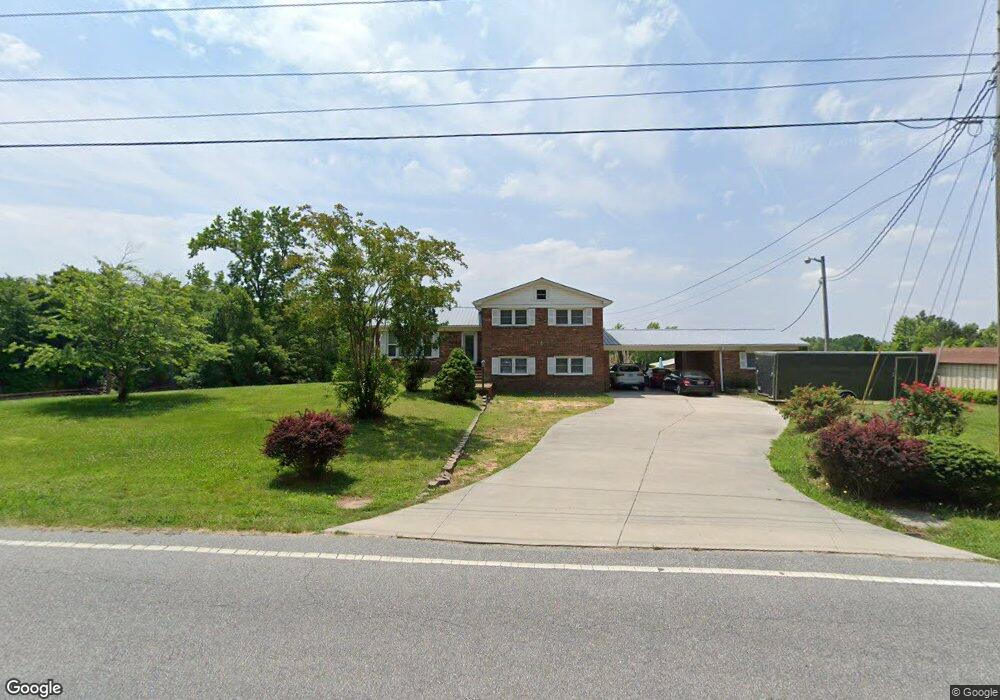
1933 Burton Rd Thomasville, NC 27360
Estimated Value: $331,000 - $370,000
3
Beds
3
Baths
3,323
Sq Ft
$104/Sq Ft
Est. Value
About This Home
This home is located at 1933 Burton Rd, Thomasville, NC 27360 and is currently estimated at $346,060, approximately $104 per square foot. 1933 Burton Rd is a home located in Davidson County with nearby schools including Friendship Elementary School, Ledford Middle School, and Ledford High School.
Ownership History
Date
Name
Owned For
Owner Type
Purchase Details
Closed on
Apr 22, 2013
Sold by
High Point Bank And Trust Company
Bought by
Everhart Marie Marchelle
Current Estimated Value
Purchase Details
Closed on
Jul 25, 2007
Sold by
High Point Bank & Trust Co
Bought by
Everhart Marie Marchelle
Home Financials for this Owner
Home Financials are based on the most recent Mortgage that was taken out on this home.
Original Mortgage
$140,000
Interest Rate
6.65%
Mortgage Type
Purchase Money Mortgage
Purchase Details
Closed on
May 10, 2004
Bought by
Cecil Nelson Theodore
Create a Home Valuation Report for This Property
The Home Valuation Report is an in-depth analysis detailing your home's value as well as a comparison with similar homes in the area
Home Values in the Area
Average Home Value in this Area
Purchase History
| Date | Buyer | Sale Price | Title Company |
|---|---|---|---|
| Everhart Marie Marchelle | -- | None Available | |
| Everhart Marie Marchelle | $175,000 | None Available | |
| Cecil Nelson Theodore | -- | -- |
Source: Public Records
Mortgage History
| Date | Status | Borrower | Loan Amount |
|---|---|---|---|
| Previous Owner | Everhart Marie Marchelle | $140,000 |
Source: Public Records
Tax History
| Year | Tax Paid | Tax Assessment Tax Assessment Total Assessment is a certain percentage of the fair market value that is determined by local assessors to be the total taxable value of land and additions on the property. | Land | Improvement |
|---|---|---|---|---|
| 2025 | $1,429 | $219,810 | $0 | $0 |
| 2024 | $1,386 | $219,810 | $0 | $0 |
| 2023 | $1,407 | $219,810 | $0 | $0 |
| 2022 | $1,386 | $219,810 | $0 | $0 |
| 2021 | $1,386 | $219,810 | $0 | $0 |
| 2020 | $1,235 | $195,840 | $0 | $0 |
| 2019 | $1,253 | $195,840 | $0 | $0 |
| 2018 | $1,247 | $194,770 | $0 | $0 |
| 2017 | $1,208 | $194,770 | $0 | $0 |
| 2016 | $1,208 | $194,770 | $0 | $0 |
| 2015 | $1,208 | $194,770 | $0 | $0 |
| 2014 | $1,093 | $179,260 | $0 | $0 |
Source: Public Records
Map
Nearby Homes
- 2017 Priya St
- 2136 Burton Rd
- 682 Cecil St
- 164 Mae Kennedy Rd
- 1869 Planters Walk Dr
- 512 Paul Pope Rd
- 3674 Hayfield Ct
- 1303 Burton Ave
- 00 Mae Kennedy
- 2234 Renaissance Ln
- 2165 Cliffvale Dr
- 2105 Burton Run Rd
- 3723 Boxwood Ct
- 2136 Burton Run Rd
- 515 Paul Kennedy Rd
- 2912 W English Rd
- 427 Wright St
- 2343 Addison Blvd
- 511 South Rd
- 0 Laura Ln
Your Personal Tour Guide
Ask me questions while you tour the home.