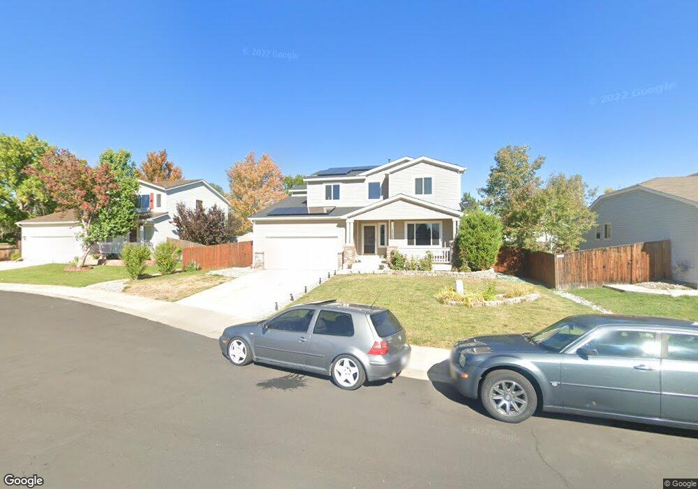
1933 E 126th Ct Thornton, CO 80241
Eastlake Village NeighborhoodEstimated Value: $564,438 - $584,000
4
Beds
3
Baths
2,251
Sq Ft
$254/Sq Ft
Est. Value
About This Home
This home is located at 1933 E 126th Ct, Thornton, CO 80241 and is currently estimated at $572,360, approximately $254 per square foot. 1933 E 126th Ct is a home located in Adams County with nearby schools including Stellar Elementary School, Century Middle School, and Mountain Range High School.
Ownership History
Date
Name
Owned For
Owner Type
Purchase Details
Closed on
Jun 30, 2000
Sold by
Centex Homes
Bought by
Muniz Garfield E and Muniz Melissa
Current Estimated Value
Home Financials for this Owner
Home Financials are based on the most recent Mortgage that was taken out on this home.
Original Mortgage
$202,910
Outstanding Balance
$70,598
Interest Rate
8.66%
Mortgage Type
VA
Estimated Equity
$501,762
Create a Home Valuation Report for This Property
The Home Valuation Report is an in-depth analysis detailing your home's value as well as a comparison with similar homes in the area
Home Values in the Area
Average Home Value in this Area
Purchase History
| Date | Buyer | Sale Price | Title Company |
|---|---|---|---|
| Muniz Garfield E | $203,403 | -- |
Source: Public Records
Mortgage History
| Date | Status | Borrower | Loan Amount |
|---|---|---|---|
| Open | Muniz Garfield E | $202,910 |
Source: Public Records
Tax History
| Year | Tax Paid | Tax Assessment Tax Assessment Total Assessment is a certain percentage of the fair market value that is determined by local assessors to be the total taxable value of land and additions on the property. | Land | Improvement |
|---|---|---|---|---|
| 2025 | $3,852 | $36,920 | $7,070 | $29,850 |
| 2024 | $3,852 | $33,940 | $6,500 | $27,440 |
| 2023 | $3,812 | $40,930 | $6,020 | $34,910 |
| 2022 | $2,921 | $26,520 | $6,190 | $20,330 |
| 2021 | $3,017 | $26,520 | $6,190 | $20,330 |
| 2020 | $3,156 | $28,290 | $6,360 | $21,930 |
| 2019 | $3,162 | $28,290 | $6,360 | $21,930 |
| 2018 | $2,853 | $24,790 | $6,480 | $18,310 |
| 2017 | $2,594 | $24,790 | $6,480 | $18,310 |
| 2016 | $2,118 | $19,710 | $3,580 | $16,130 |
| 2015 | $2,115 | $19,710 | $3,580 | $16,130 |
| 2014 | $1,919 | $17,380 | $2,950 | $14,430 |
Source: Public Records
Map
Nearby Homes
- 12885 Vine St
- 2297 E 128th Ave
- 2066 E 129th Ave
- 2263 E 129th Ave Unit 2263
- 2275 E 129th Ave
- 12905 Lafayette St Unit H
- 7 Sandpiper Cir
- 12380 Irma Dr
- 12350 Farmview St
- 12380 York St
- 1672 E 131st Ct
- 1162 E 130th Ave Unit B
- 56 Blue Heron Dr
- 58 Blue Heron Dr
- 2522 E 123rd Dr
- 12237 Creamery St
- 12208 Creamery St
- 12205 Race St
- 2746 E 132nd Place
- 13322 Columbine Cir
- 1953 E 126th Ct
- 1913 E 126th Ct
- 1920 E 127th Cir
- 1940 E 127th Cir
- 1973 E 126th Ct
- 1932 E 126th Ct
- 1960 E 127th Cir
- 1952 E 126th Ct
- 1912 E 126th Ct
- 1980 E 127th Cir
- 1972 E 126th Ct
- 1993 E 126th Ct
- 2000 E 127th Cir
- 2005 E 125th Place
- 1945 E 127th Cir
- 2013 E 126th Ct
- 2035 E 125th Place
- 1925 E 127th Cir
- 2002 E 126th Ct
- 1985 E 127th Cir
Your Personal Tour Guide
Ask me questions while you tour the home.