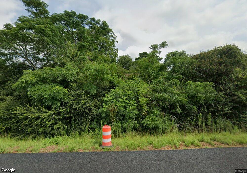
1933 Ga Highway 27 E Leslie, GA 31764
Estimated Value: $66,080 - $118,000
--
Bed
1
Bath
--
Sq Ft
0.37
Acres
About This Home
This home is located at 1933 Ga Highway 27 E, Leslie, GA 31764 and is currently estimated at $92,040. 1933 Ga Highway 27 E is a home located in Sumter County with nearby schools including Sumter County Primary School, Sumter County Elementary School, and Sumter County Middle School.
Ownership History
Date
Name
Owned For
Owner Type
Purchase Details
Closed on
Sep 13, 2024
Sold by
Telegadis Despina T Trust
Bought by
Gowen Hunter
Current Estimated Value
Purchase Details
Closed on
Jun 26, 2014
Sold by
Telegais Ulesses G
Bought by
Telegadis Spiro G
Purchase Details
Closed on
Dec 1, 2010
Sold by
Solomon Curtis L
Bought by
Telegadis Ulysses G
Purchase Details
Closed on
Jun 17, 2005
Sold by
Cooper Annie C
Bought by
Soloman Curtis L
Purchase Details
Closed on
Jul 1, 1987
Bought by
Clayton Annie Clair
Create a Home Valuation Report for This Property
The Home Valuation Report is an in-depth analysis detailing your home's value as well as a comparison with similar homes in the area
Home Values in the Area
Average Home Value in this Area
Purchase History
| Date | Buyer | Sale Price | Title Company |
|---|---|---|---|
| Gowen Hunter | $2,000 | -- | |
| Telegadis Spiro G | -- | -- | |
| Telegadis Ulysses G | $30,000 | -- | |
| Soloman Curtis L | $3,700 | -- | |
| Clayton Annie Clair | -- | -- |
Source: Public Records
Tax History Compared to Growth
Tax History
| Year | Tax Paid | Tax Assessment Tax Assessment Total Assessment is a certain percentage of the fair market value that is determined by local assessors to be the total taxable value of land and additions on the property. | Land | Improvement |
|---|---|---|---|---|
| 2024 | $194 | $3,800 | $1,600 | $2,200 |
| 2023 | $190 | $3,800 | $1,600 | $2,200 |
| 2022 | $190 | $3,800 | $1,600 | $2,200 |
| 2021 | $190 | $3,800 | $1,600 | $2,200 |
| 2020 | $194 | $3,800 | $1,600 | $2,200 |
| 2019 | $170 | $3,800 | $1,600 | $2,200 |
| 2018 | $170 | $3,800 | $1,600 | $2,200 |
| 2017 | $170 | $3,800 | $1,600 | $2,200 |
| 2016 | $170 | $3,800 | $1,600 | $2,200 |
| 2015 | $160 | $3,560 | $760 | $2,800 |
| 2014 | $160 | $3,560 | $760 | $2,800 |
| 2013 | -- | $3,560 | $760 | $2,800 |
Source: Public Records
Map
Nearby Homes
- 240 Drayton Woods Rd
- N/A Mclean Dr SE
- 0 Drayton Loop
- 800 Drayton Loop
- 134 Drayton Ln
- 404 District Line Rd
- 554 Flathead Dr
- 182 Redbreast Dr
- 1020 Flathead Dr
- 101 Bass Rd
- TBD District Line Rd
- 104 Redbreast Dr
- 18 Redbreast Dr
- 121 E Entrekin Rd
- 107 Oakridge Dr
- TBD Sawdust Trail
- 0 N A Unit 10613160
- 139 E Allen St
