1933 Matia Way Point Roberts, WA 98281
Estimated Value: $295,938 - $369,000
1
Bed
1
Bath
837
Sq Ft
$402/Sq Ft
Est. Value
About This Home
This home is located at 1933 Matia Way, Point Roberts, WA 98281 and is currently estimated at $336,735, approximately $402 per square foot. 1933 Matia Way is a home located in Whatcom County with nearby schools including Point Roberts Primary School, Blaine Middle School, and Blaine High School.
Ownership History
Date
Name
Owned For
Owner Type
Purchase Details
Closed on
Jun 24, 2018
Sold by
Felix Victor Dias
Bought by
Felix Dennis Dias
Current Estimated Value
Purchase Details
Closed on
Oct 9, 2017
Sold by
Conceicao Elizabeth Maria
Bought by
Conceicao Elizabeth Maria and Conceicao Fernando Jose
Purchase Details
Closed on
Jan 10, 2017
Sold by
Santos Idalina F
Bought by
Conceicao Elizabeth Maria and Santos Annette Victoria
Purchase Details
Closed on
Apr 18, 2001
Sold by
Felix Alfredo
Bought by
Desousa David and Desousa Kevin
Purchase Details
Closed on
Apr 12, 2001
Sold by
Santos Joaquim and Santos Idalina F
Bought by
Felix Alfredo
Create a Home Valuation Report for This Property
The Home Valuation Report is an in-depth analysis detailing your home's value as well as a comparison with similar homes in the area
Home Values in the Area
Average Home Value in this Area
Purchase History
| Date | Buyer | Sale Price | Title Company |
|---|---|---|---|
| Felix Dennis Dias | -- | None Available | |
| Conceicao Elizabeth Maria | -- | None Available | |
| Conceicao Elizabeth Maria | -- | None Available | |
| Desousa David | -- | -- | |
| Felix Alfredo | -- | -- |
Source: Public Records
Tax History Compared to Growth
Tax History
| Year | Tax Paid | Tax Assessment Tax Assessment Total Assessment is a certain percentage of the fair market value that is determined by local assessors to be the total taxable value of land and additions on the property. | Land | Improvement |
|---|---|---|---|---|
| 2024 | $2,274 | $282,296 | $150,563 | $131,733 |
| 2023 | $2,274 | $268,608 | $136,875 | $131,733 |
| 2022 | $1,988 | $245,304 | $125,000 | $120,304 |
| 2021 | $1,980 | $192,576 | $100,320 | $92,256 |
| 2020 | $1,974 | $178,309 | $92,888 | $85,421 |
| 2019 | $1,835 | $171,038 | $89,100 | $81,938 |
| 2018 | $1,697 | $153,761 | $80,100 | $73,661 |
| 2017 | $1,472 | $146,850 | $76,500 | $70,350 |
| 2016 | $1,562 | $143,971 | $75,000 | $68,971 |
| 2015 | $1,661 | $148,624 | $77,288 | $71,336 |
| 2014 | -- | $155,376 | $80,800 | $74,576 |
| 2013 | -- | $148,766 | $77,600 | $71,166 |
Source: Public Records
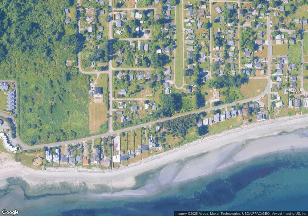
Map
Nearby Homes
- 1920 Patos Way
- 1881 Edwards Dr
- 1927 Orcas View Way
- 698 Kendor Dr
- 661 Driftwood Ln
- 634 S Beach Rd
- 1934 Waters Rd
- 1911 Apa Rd
- 675 Sylvia Dr
- 1940 Apa Rd
- Lot 3 Edwards Dr
- 19 Harbor Seal Dr
- 2045 Apa Rd
- 1976 Cedar Park Dr
- 1587 Harbor Seal Dr
- lot 14 Cedar Park Dr Unit 14
- 0 6 39 Acres South Beach Rd
- 1561 Edwards Dr
- Lot 2 Greenwood Dr
- 2 Benson Rd
- 711 Bells Grove
- 1928 Matia Way
- 707 Bells Grove
- 17 Matia Way
- 1917 Matia Way
- 1933 Patos Way
- 703 Bells Grove
- 1927 Patos Way
- 1835 Edwards Dr
- 1923 Patos Way
- 697 Bells Grove
- 736 Largaud Dr
- 695 Bells Grove
- 1831 Edwards Dr
- 712 Bells Grove
- 1917 Patos Way
- 1825 Edwards Dr
- 1844 Edwards Dr
- 0 Mallard Ln
- 1841 Edwards Dr