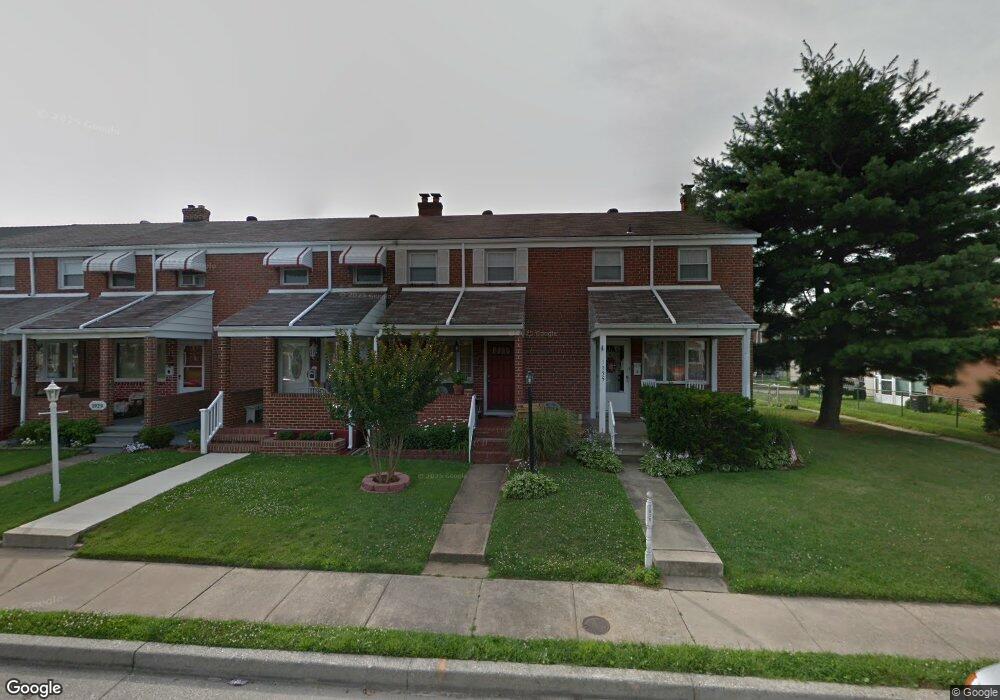
1933 Ormand Rd Dundalk, MD 21222
Estimated Value: $170,153 - $243,000
2
Beds
1
Bath
896
Sq Ft
$233/Sq Ft
Est. Value
About This Home
This home is located at 1933 Ormand Rd, Dundalk, MD 21222 and is currently estimated at $208,788, approximately $233 per square foot. 1933 Ormand Rd is a home located in Baltimore County with nearby schools including Grange Elementary School, General John Stricker Middle School, and Patapsco High & Center for Arts.
Ownership History
Date
Name
Owned For
Owner Type
Purchase Details
Closed on
Apr 20, 2009
Sold by
Mesaris Antoinette Marie
Bought by
Dailey Michael R
Current Estimated Value
Purchase Details
Closed on
May 4, 1956
Sold by
Norris Thomas R
Bought by
Biedronski Joseph J
Create a Home Valuation Report for This Property
The Home Valuation Report is an in-depth analysis detailing your home's value as well as a comparison with similar homes in the area
Home Values in the Area
Average Home Value in this Area
Purchase History
| Date | Buyer | Sale Price | Title Company |
|---|---|---|---|
| Dailey Michael R | $159,900 | -- | |
| Biedronski Joseph J | $8,000 | -- |
Source: Public Records
Tax History
| Year | Tax Paid | Tax Assessment Tax Assessment Total Assessment is a certain percentage of the fair market value that is determined by local assessors to be the total taxable value of land and additions on the property. | Land | Improvement |
|---|---|---|---|---|
| 2025 | $2,016 | $134,267 | -- | -- |
| 2024 | $2,016 | $124,133 | $0 | $0 |
| 2023 | $1,870 | $114,000 | $36,000 | $78,000 |
| 2022 | $1,819 | $111,833 | $0 | $0 |
| 2021 | $1,780 | $109,667 | $0 | $0 |
| 2020 | $1,780 | $107,500 | $36,000 | $71,500 |
| 2019 | $1,899 | $106,700 | $0 | $0 |
| 2018 | $1,687 | $105,900 | $0 | $0 |
| 2017 | $1,851 | $105,100 | $0 | $0 |
| 2016 | -- | $105,100 | $0 | $0 |
| 2015 | $1,879 | $105,100 | $0 | $0 |
| 2014 | $1,879 | $121,400 | $0 | $0 |
Source: Public Records
Map
Nearby Homes
- 1935 Stanhope Rd
- 2782 Moorgate Rd
- 1930 Stanhope Rd
- 2811 Moorgate Rd
- 1954 Stanhope Rd
- 2012 Wareham Rd
- 1911 Sunberry Rd
- 7252 Meadow Ln
- 7807 Rockbourne Rd
- 7832 Rockbourne Rd
- 1940H Robinwood Rd
- 7111 Sollers Point Rd
- 7849 Harold Rd
- 9 Vista Mobile Dr
- 2924 Sollers Point Rd
- 7512 School Ave
- 2953 Yorkway
- 8201 Seaworthy Way
- 7449 Lawrence Rd Unit D
- 3145 Baybriar Rd
- 1931 Ormand Rd
- 1935 Ormand Rd
- 1929 Ormand Rd
- 1927 Ormand Rd
- 1937 Ormand Rd
- 1925 Ormand Rd
- 1939 Ormand Rd
- 1923 Ormand Rd
- 1941 Ormand Rd
- 1932 Holborn Rd
- 1930 Holborn Rd
- 1934 Holborn Rd
- 1928 Holborn Rd
- 1921 Ormand Rd
- 1926 Holborn Rd
- 1943 Ormand Rd
- 1936 Holborn Rd
- 1924 Holborn Rd
- 1919 Ormand Rd
- 1938 Holborn Rd
Your Personal Tour Guide
Ask me questions while you tour the home.