1933 Stone Ballast Way SW Unit The Beach at Brick L Ocean Isle Beach, NC 28469
Estimated Value: $577,000 - $900,000
4
Beds
4
Baths
2,344
Sq Ft
$335/Sq Ft
Est. Value
About This Home
This home is located at 1933 Stone Ballast Way SW Unit The Beach at Brick L, Ocean Isle Beach, NC 28469 and is currently estimated at $784,264, approximately $334 per square foot. 1933 Stone Ballast Way SW Unit The Beach at Brick L is a home located in Brunswick County with nearby schools including Union Elementary School, Shallotte Middle School, and West Brunswick High School.
Ownership History
Date
Name
Owned For
Owner Type
Purchase Details
Closed on
Apr 6, 2020
Sold by
Kimball Henry Thomas and Kimball Anne B
Bought by
James Michael and Huffstetler Lynn
Current Estimated Value
Purchase Details
Closed on
Jan 28, 2015
Sold by
Street Williams S and Street Helen
Bought by
Kimball Henry Thomas and Kimball Anne B
Purchase Details
Closed on
Jan 1, 2015
Bought by
Street William S
Purchase Details
Closed on
Jul 22, 2014
Sold by
Womble Tom C and Womble Jo M
Bought by
Street William S and Street Helen
Create a Home Valuation Report for This Property
The Home Valuation Report is an in-depth analysis detailing your home's value as well as a comparison with similar homes in the area
Home Values in the Area
Average Home Value in this Area
Purchase History
| Date | Buyer | Sale Price | Title Company |
|---|---|---|---|
| James Michael | $450,000 | None Available | |
| Kimball Henry Thomas | $3,550,000 | None Available | |
| Street William S | $355,000 | -- | |
| Street William S | $299,500 | None Available |
Source: Public Records
Tax History Compared to Growth
Tax History
| Year | Tax Paid | Tax Assessment Tax Assessment Total Assessment is a certain percentage of the fair market value that is determined by local assessors to be the total taxable value of land and additions on the property. | Land | Improvement |
|---|---|---|---|---|
| 2025 | -- | $635,320 | $170,000 | $465,320 |
| 2024 | $2,305 | $556,980 | $170,000 | $386,980 |
| 2023 | $2,217 | $556,980 | $170,000 | $386,980 |
| 2022 | $2,217 | $374,700 | $150,000 | $224,700 |
| 2021 | $2,189 | $374,700 | $150,000 | $224,700 |
| 2020 | $2,189 | $374,700 | $150,000 | $224,700 |
| 2019 | $2,189 | $150,000 | $150,000 | $0 |
| 2018 | $1,775 | $296,380 | $120,000 | $176,380 |
| 2017 | $1,687 | $120,000 | $120,000 | $0 |
| 2016 | $1,637 | $120,000 | $120,000 | $0 |
| 2015 | $1,641 | $297,210 | $120,000 | $177,210 |
| 2014 | $1,948 | $395,100 | $230,000 | $165,100 |
Source: Public Records
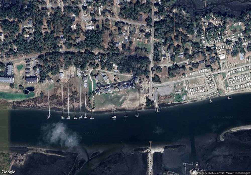
Map
Nearby Homes
- Lot 6 Stone Ballast Way SW
- Lot 5 Stone Ballast Way SW
- Lot 4 Stone Ballast Way SW
- Lot 3 Stone Ballast Way SW
- Lot 2 Stone Ballast Way SW
- Lot 1 Stone Ballast Way SW
- 1930 Stone Ballast SW
- 1957 Stone Ballast Way SW
- 4671 Devane SW
- 4735 Cedar Ln SW
- 4624 Devane Rd SW
- 4771 Pine Dr SW
- 1916 Inlet Village Cir SW Unit 3a
- 1817 Egret St SW
- 1914 Goose Creek Rd SW Unit 2104
- 1912 Goose Creek Rd SW Unit 4301
- 1912 Goose Creek Rd SW Unit 4302
- 1910 Goose Creek Rd SW Unit 3101
- 140 Shallotte Blvd
- 1805 Egret St SW
- 1933 Stone Ballast Way SW
- 1929 Stone Ballast Way SW
- 1937 Stone Ballast Way SW
- Tract #1 Stone Ballast Way SW
- 1946 Stone Ballast Way SW
- 1925 Stone Ballast Way SW
- 1941 Stone Ballast Way SW
- 1938 Stone Ballast Way SW
- 1945 Stone Ballast Way SW
- 1919 Stone Ballast Way SW
- 1949 Stone Ballast Way SW
- 1953 Stone Ballast Way SW
- 1952 Stone Ballast Way SW
- 1910 Bricklanding SW
- 1982 Goose Creek Rd SW
- 1.06 Acres Stone Ballast SW
- 1961 Stone Ballast Way SW
- 1958 Stone Ballast Way SW
- 1966 Stone Ballast Way SW
- 1905 Bricklanding SW