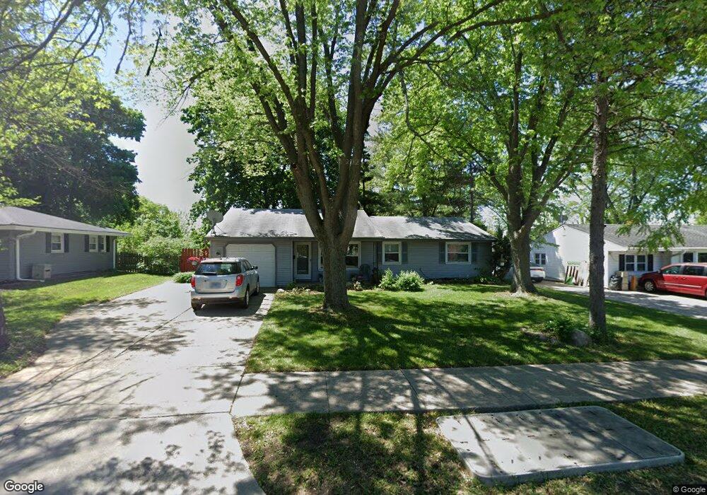
1933 W Schaumburg Rd Schaumburg, IL 60194
West Schaumburg NeighborhoodEstimated Value: $315,000 - $397,000
3
Beds
1
Bath
1,111
Sq Ft
$317/Sq Ft
Est. Value
About This Home
This home is located at 1933 W Schaumburg Rd, Schaumburg, IL 60194 and is currently estimated at $351,995, approximately $316 per square foot. 1933 W Schaumburg Rd is a home located in Cook County with nearby schools including Campanelli Elementary School, Jane Addams Junior High School, and Schaumburg High School.
Ownership History
Date
Name
Owned For
Owner Type
Purchase Details
Closed on
Aug 9, 2017
Sold by
Schneider Kathleen A
Bought by
The Chicago Trust Company Na and Trust Number Sbl 4251
Current Estimated Value
Purchase Details
Closed on
May 26, 1995
Sold by
Dworzynski Dan
Bought by
Schneider Kathleen A
Home Financials for this Owner
Home Financials are based on the most recent Mortgage that was taken out on this home.
Original Mortgage
$119,887
Interest Rate
8.26%
Mortgage Type
FHA
Create a Home Valuation Report for This Property
The Home Valuation Report is an in-depth analysis detailing your home's value as well as a comparison with similar homes in the area
Home Values in the Area
Average Home Value in this Area
Purchase History
| Date | Buyer | Sale Price | Title Company |
|---|---|---|---|
| The Chicago Trust Company Na | -- | Attorney | |
| Schneider Kathleen A | $121,000 | -- |
Source: Public Records
Mortgage History
| Date | Status | Borrower | Loan Amount |
|---|---|---|---|
| Previous Owner | Schneider Kathleen A | $119,887 |
Source: Public Records
Tax History Compared to Growth
Tax History
| Year | Tax Paid | Tax Assessment Tax Assessment Total Assessment is a certain percentage of the fair market value that is determined by local assessors to be the total taxable value of land and additions on the property. | Land | Improvement |
|---|---|---|---|---|
| 2024 | $2,475 | $25,000 | $10,500 | $14,500 |
| 2023 | $2,476 | $25,000 | $10,500 | $14,500 |
| 2022 | $2,476 | $25,000 | $10,500 | $14,500 |
| 2021 | $2,690 | $23,061 | $7,125 | $15,936 |
| 2020 | $2,463 | $23,061 | $7,125 | $15,936 |
| 2019 | $2,450 | $25,912 | $7,125 | $18,787 |
| 2018 | $2,748 | $19,715 | $6,375 | $13,340 |
| 2017 | $2,657 | $19,715 | $6,375 | $13,340 |
| 2016 | $3,218 | $19,715 | $6,375 | $13,340 |
| 2015 | $3,661 | $16,733 | $5,625 | $11,108 |
| 2014 | $3,648 | $16,733 | $5,625 | $11,108 |
| 2013 | $4,066 | $16,733 | $5,625 | $11,108 |
Source: Public Records
Map
Nearby Homes
- 1939 Weston Ln
- 135 S Walnut Ln
- 227 S Walnut Ln
- 136 Caryville Ln
- 1933 Whittier Ln
- 231 Webster Ln
- 124 Westover Ln
- 2317 Broadway Ln
- 413 Linsey Ave
- 133 White Branch Ct S Unit 539
- 2404 Baldwin Ct
- 8181 Northway Dr
- 2128 Hitching Post Ln
- 508 N Walnut Ln
- 454 Willington Dr
- 1614 Kingston Ln
- 198 Camden Ct Unit Z2
- 100 Ellington Dr
- 8138 N Carrolton Ct
- 1336 Wakeby Ln Unit 444
- 1929 W Schaumburg Rd
- 1937 W Schaumburg Rd
- 11 S Walnut Ln
- 1 S Walnut Ln
- 1925 W Schaumburg Rd
- 1926 Wayland Ct
- 1922 Wayland Ct
- 15 S Walnut Ln Unit 2
- 1921 W Schaumburg Rd
- 1928 Wayland Ct
- 1923 Arklow Place
- 1929 Arklow Place
- 19 S Walnut Ln
- 1918 Wayland Ct
- 1933 Arklow Place
- 1919 Arklow Place
- 1915 W Schaumburg Rd
- 1930 Wayland Ln
- 1914 Wayland Ln
- 1938 Wayland Ln