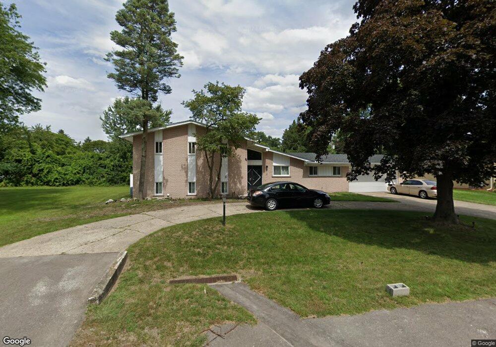
19330 Birchridge St Southfield, MI 48075
Estimated Value: $303,785 - $382,000
3
Beds
4
Baths
2,492
Sq Ft
$133/Sq Ft
Est. Value
About This Home
This home is located at 19330 Birchridge St, Southfield, MI 48075 and is currently estimated at $330,946, approximately $132 per square foot. 19330 Birchridge St is a home located in Oakland County with nearby schools including Dr. Joseph F. Pollack Academic Center Of Excellence, Agbu Alex-Marie Manoogian School, and Corpus Christi.
Ownership History
Date
Name
Owned For
Owner Type
Purchase Details
Closed on
Jun 22, 2010
Sold by
Edwards Eric J and Edwards Rolanda G
Bought by
Federal Home Loan Mortgage Corp
Current Estimated Value
Purchase Details
Closed on
Oct 26, 2004
Sold by
Boyd Patsy A and Boyd Patsy
Bought by
Edwards Eric J and Edwards Rolanda G
Home Financials for this Owner
Home Financials are based on the most recent Mortgage that was taken out on this home.
Original Mortgage
$177,700
Interest Rate
5.12%
Mortgage Type
Purchase Money Mortgage
Purchase Details
Closed on
Dec 2, 2002
Sold by
Thomas James E and Thomas Martha
Bought by
Boyd Patsy A and Boyd Patsy
Create a Home Valuation Report for This Property
The Home Valuation Report is an in-depth analysis detailing your home's value as well as a comparison with similar homes in the area
Home Values in the Area
Average Home Value in this Area
Purchase History
| Date | Buyer | Sale Price | Title Company |
|---|---|---|---|
| Federal Home Loan Mortgage Corp | $52,500 | None Available | |
| Edwards Eric J | $222,152 | -- | |
| Boyd Patsy A | $205,000 | Metropolitan Title Company |
Source: Public Records
Mortgage History
| Date | Status | Borrower | Loan Amount |
|---|---|---|---|
| Previous Owner | Edwards Eric J | $177,700 |
Source: Public Records
Tax History Compared to Growth
Tax History
| Year | Tax Paid | Tax Assessment Tax Assessment Total Assessment is a certain percentage of the fair market value that is determined by local assessors to be the total taxable value of land and additions on the property. | Land | Improvement |
|---|---|---|---|---|
| 2022 | $3,257 | $103,170 | $11,830 | $91,340 |
| 2021 | $3,345 | $100,260 | $11,790 | $88,470 |
| 2020 | $2,915 | $103,830 | $11,790 | $92,040 |
| 2018 | $3,448 | $67,790 | $11,790 | $56,000 |
| 2015 | -- | $51,110 | $0 | $0 |
| 2014 | -- | $48,480 | $0 | $0 |
| 2011 | -- | $53,250 | $0 | $0 |
Source: Public Records
Map
Nearby Homes
- 19633 Mahon St
- 19368 Midway Rd
- 19880 Hazelhurst St
- 0000 W Nine Mile
- 19910 Albany Ave
- 19780 Mahon St
- 19100 Dorset St
- 18656 Midway Ave
- 21450 Evergreen Rd
- 19025 Melrose Ave
- 20286 Woodburn Dr
- 20980 Evergreen Rd
- 20450 Midway Ave
- 24139 Philip Dr
- 20210 Westhampton Ave
- 18252 Westland Ave
- 17581 Roxbury Ave
- 18249 Westover Ave
- 21145 Frazer Ave
- 20900 Secluded Ln
- 19322 Birchridge St
- 19339 Starlane St
- 19411 Starlane St
- 19323 Starlane St
- 19329 Birchridge St
- 19428 Birchridge St
- 19409 Birchridge St
- 19304 Birchridge St
- 19433 Starlane St
- 19319 Birchridge St
- 19305 Starlane St
- 19427 Birchridge St
- 0 Birchridge St
- 19231 Birchridge St
- 19221 Albany Ave
- 19338 Starlane St
- 19222 Birchridge St
- 19412 Starlane St
- 19314 Starlane St
- 19342 Nadol Dr