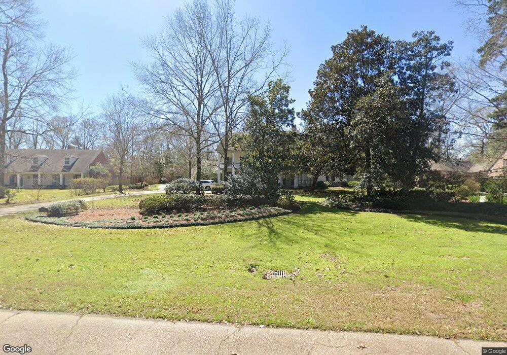
19336 W Piney Point Ave Baton Rouge, LA 70817
Shenandoah NeighborhoodEstimated Value: $844,000 - $1,054,000
Studio
--
Bath
5,189
Sq Ft
$177/Sq Ft
Est. Value
About This Home
This home is located at 19336 W Piney Point Ave, Baton Rouge, LA 70817 and is currently estimated at $916,079, approximately $176 per square foot. 19336 W Piney Point Ave is a home located in East Baton Rouge Parish with nearby schools including Shenandoah Elementary School, Woodlawn Middle School, and Woodlawn High School.
Ownership History
Date
Name
Owned For
Owner Type
Purchase Details
Closed on
Apr 30, 2019
Sold by
Valluzzo John C and Valluzzo Janette H
Bought by
Burgin Richard Ryan Patrick and Burgin Richard Emily
Current Estimated Value
Home Financials for this Owner
Home Financials are based on the most recent Mortgage that was taken out on this home.
Original Mortgage
$722,500
Outstanding Balance
$635,224
Interest Rate
4.2%
Mortgage Type
Future Advance Clause Open End Mortgage
Estimated Equity
$280,855
Create a Home Valuation Report for This Property
The Home Valuation Report is an in-depth analysis detailing your home's value as well as a comparison with similar homes in the area
Home Values in the Area
Average Home Value in this Area
Purchase History
| Date | Buyer | Sale Price | Title Company |
|---|---|---|---|
| Burgin Richard Ryan Patrick | $850,000 | Commerce Title & Abstract Co |
Source: Public Records
Mortgage History
| Date | Status | Borrower | Loan Amount |
|---|---|---|---|
| Open | Burgin Richard Ryan Patrick | $722,500 |
Source: Public Records
Tax History
| Year | Tax Paid | Tax Assessment Tax Assessment Total Assessment is a certain percentage of the fair market value that is determined by local assessors to be the total taxable value of land and additions on the property. | Land | Improvement |
|---|---|---|---|---|
| 2024 | $8,386 | $80,750 | $8,100 | $72,650 |
| 2023 | $8,425 | $80,750 | $8,100 | $72,650 |
| 2022 | $9,091 | $80,750 | $8,100 | $72,650 |
| 2021 | $8,913 | $80,750 | $8,100 | $72,650 |
| 2020 | $9,031 | $80,750 | $8,100 | $72,650 |
| 2019 | $7,127 | $61,150 | $8,100 | $53,050 |
| 2018 | $7,035 | $61,150 | $8,100 | $53,050 |
| 2017 | $7,035 | $61,150 | $8,100 | $53,050 |
| 2016 | $6,017 | $61,150 | $8,100 | $53,050 |
| 2015 | $5,402 | $55,650 | $8,100 | $47,550 |
| 2014 | $5,285 | $55,650 | $8,100 | $47,550 |
| 2013 | -- | $55,650 | $8,100 | $47,550 |
Source: Public Records
Map
Nearby Homes
- 5021 Lost Oak Dr
- 19173 Hickory Bay Ct
- 4921 Piney Point Ave
- 5741 Lake Shadow Dr
- 5845 S Shore Dr
- 19424 Creek Round Ave
- 5487 Hagerstown Dr
- 6046 Hagerstown Dr
- 19537 Creek Round Ave
- 17831 General Forrest Ave
- 6022 Grand Coteau Dr
- 6033 Harness Rd
- 5912 Harness Rd
- 4031 Indian Run Dr
- 18946 Lake Harbour Ave
- 4014 Indian Run Dr
- 6130 Wildlife Way Ct
- 18722 Lake Harbour Ave
- 19455 S Harrells Ferry Rd
- 19537 S Harrells Ferry Rd
- 19412 W Piney Point Ave
- 5225 Lost Oak Dr
- 5235 Lost Oak Dr
- 19422 W Piney Point Ave
- 19411 W Piney Point Ave
- 19317 W Piney Point Ave
- 6119 N Shore Dr
- 5236 Lost Oak Dr
- 5216 Lost Oak Dr
- 19431 W Piney Point Ave
- 19514 W Piney Point Ave
- 6129 N Shore Dr
- 19241 N Shore Ct
- 19241 N Shore Ct
- 5134 Lost Oak Dr
- 5134 Lost Oak Dr
- 5317 Lost Oak Dr
- 6139 N Shore Dr
- 4056 N Shore Ct
- 5318 Lost Oak Dr
Your Personal Tour Guide
Ask me questions while you tour the home.