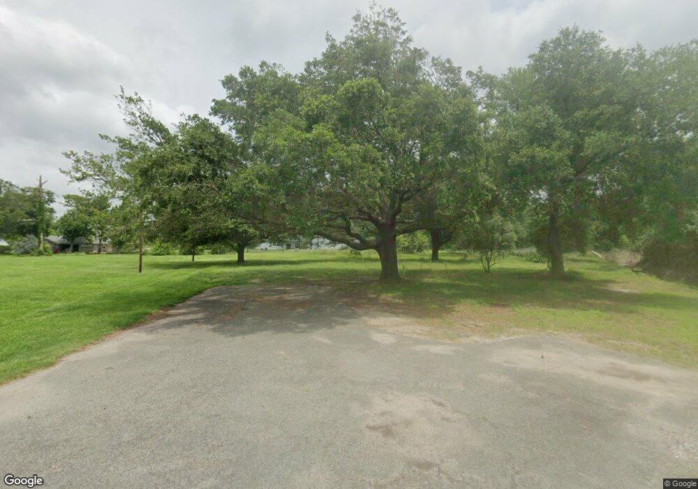
1934 Daly Rd Sulphur, LA 70665
Estimated Value: $308,187 - $315,000
4
Beds
3
Baths
3,486
Sq Ft
$89/Sq Ft
Est. Value
About This Home
This home is located at 1934 Daly Rd, Sulphur, LA 70665 and is currently estimated at $311,594, approximately $89 per square foot. 1934 Daly Rd is a home located in Calcasieu Parish with nearby schools including Cypress Cove Elementary School, W.W. Lewis Middle School, and Sulphur High School.
Ownership History
Date
Name
Owned For
Owner Type
Purchase Details
Closed on
Jun 27, 2022
Sold by
Robert Pool Gary and Robert Louise Phyllis
Bought by
Calcasieu Parish Police Jury
Current Estimated Value
Purchase Details
Closed on
Jul 5, 2006
Sold by
Caraway Maurice Clark and Caraway Mary Kathleen Richert
Bought by
Pool Gary Robert and Pool Phyllis Louise Tholborn Mcc
Home Financials for this Owner
Home Financials are based on the most recent Mortgage that was taken out on this home.
Original Mortgage
$224,000
Interest Rate
6.6%
Mortgage Type
New Conventional
Create a Home Valuation Report for This Property
The Home Valuation Report is an in-depth analysis detailing your home's value as well as a comparison with similar homes in the area
Home Values in the Area
Average Home Value in this Area
Purchase History
| Date | Buyer | Sale Price | Title Company |
|---|---|---|---|
| Calcasieu Parish Police Jury | $325,000 | None Listed On Document | |
| Pool Gary Robert | $280,000 | None Available |
Source: Public Records
Mortgage History
| Date | Status | Borrower | Loan Amount |
|---|---|---|---|
| Previous Owner | Pool Gary Robert | $224,000 |
Source: Public Records
Tax History Compared to Growth
Tax History
| Year | Tax Paid | Tax Assessment Tax Assessment Total Assessment is a certain percentage of the fair market value that is determined by local assessors to be the total taxable value of land and additions on the property. | Land | Improvement |
|---|---|---|---|---|
| 2024 | $473 | $4,210 | $4,210 | $0 |
| 2023 | $464 | $4,210 | $4,210 | $0 |
| 2022 | $463 | $4,210 | $4,210 | $0 |
| 2021 | $1,824 | $23,820 | $4,210 | $19,610 |
| 2020 | $2,381 | $21,690 | $4,040 | $17,650 |
| 2019 | $2,636 | $23,510 | $3,900 | $19,610 |
| 2018 | $1,819 | $23,510 | $3,900 | $19,610 |
| 2017 | $2,736 | $23,510 | $3,900 | $19,610 |
| 2016 | $2,882 | $23,510 | $3,900 | $19,610 |
| 2015 | $2,882 | $23,510 | $3,900 | $19,610 |
Source: Public Records
Map
Nearby Homes
- 2022 Gay Dr
- 4108 Linda Ln
- 1940 Currie Dr
- 2375 Jane Dr
- 1617 Walker Rd
- 4360 Dean Dr
- 4327 Dorothy Jane Dr
- 0 Lawton Dr Unit SWL21008795
- 4191 Judy Dr
- 4331 Dorothy Jane Dr
- 4672 Pete Seay Rd
- 1332 Lawton Dr
- 2595 Bayou Cir
- 0 N Red Oak Forest Ln
- 2265 Leonard Rd
- 1474 Walker Rd
- 3724 Thompson Rd
- 2040 Oak Leaf Forest Dr
- 2385 Leonard Rd
- 2061 S Red Oak Forest Ln
- 0 Daly Rd
- 1940 Daly Rd
- 1960 Burkholder Rd
- 1990 Burkholder Rd
- 1951 Daly Rd
- 2008 Burkholder Rd
- 4051 Lettie St
- 1961 S Burkholder S
- 1961 Burkholder Rd
- 1943 Gay Dr
- 0 Burkholder Rd
- 4095 Dee Rd
- 4095 Mason St
- 2036 Burkholder Rd
- 4057 Lettie St
- 0 Lettie St
- 1991 Gay Dr
- 4097 Mason St
- 4095 Pete Seay Rd
- 2021 Gay Dr
