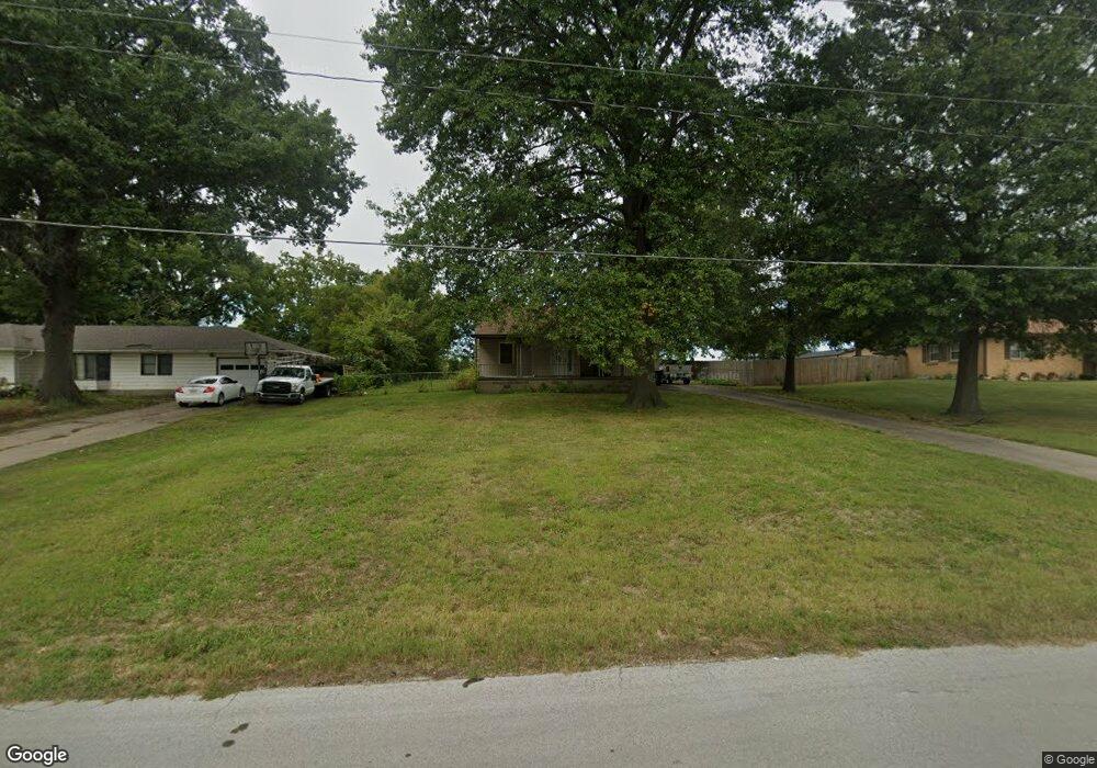
1934 James Downey Rd Independence, MO 64057
Bridger NeighborhoodEstimated Value: $151,924 - $221,000
2
Beds
1
Bath
892
Sq Ft
$196/Sq Ft
Est. Value
About This Home
This home is located at 1934 James Downey Rd, Independence, MO 64057 and is currently estimated at $174,481, approximately $195 per square foot. 1934 James Downey Rd is a home located in Jackson County with nearby schools including Blackburn Elementary School, Bridger Middle School, and Bingham Middle School.
Ownership History
Date
Name
Owned For
Owner Type
Purchase Details
Closed on
Dec 15, 2021
Sold by
Gambino Joseph A
Bought by
Gambino Joseph A and Gambino Hong Ji
Current Estimated Value
Purchase Details
Closed on
Jul 6, 2021
Sold by
Gambino Joseph A and Gambino Hong
Bought by
Banales Jose Guadalupe and Flores Luz Maria
Create a Home Valuation Report for This Property
The Home Valuation Report is an in-depth analysis detailing your home's value as well as a comparison with similar homes in the area
Home Values in the Area
Average Home Value in this Area
Purchase History
| Date | Buyer | Sale Price | Title Company |
|---|---|---|---|
| Gambino Joseph A | -- | None Available | |
| Banales Jose Guadalupe | -- | Security 1St Title | |
| Banales Jose Guadalupe | -- | Security 1St Title |
Source: Public Records
Mortgage History
| Date | Status | Borrower | Loan Amount |
|---|---|---|---|
| Closed | Banales Jose Guadalupe | $0 |
Source: Public Records
Tax History Compared to Growth
Tax History
| Year | Tax Paid | Tax Assessment Tax Assessment Total Assessment is a certain percentage of the fair market value that is determined by local assessors to be the total taxable value of land and additions on the property. | Land | Improvement |
|---|---|---|---|---|
| 2025 | $1,121 | $13,568 | $8,092 | $5,476 |
| 2024 | $1,121 | $16,180 | $4,919 | $11,261 |
| 2023 | $1,095 | $16,181 | $3,808 | $12,373 |
| 2022 | $758 | $10,260 | $3,126 | $7,134 |
| 2021 | $758 | $10,260 | $3,126 | $7,134 |
| 2020 | $782 | $10,292 | $3,126 | $7,166 |
| 2019 | $769 | $10,292 | $3,126 | $7,166 |
| 2018 | $769 | $9,814 | $2,114 | $7,700 |
| 2017 | $769 | $9,814 | $2,114 | $7,700 |
| 2016 | $697 | $8,807 | $3,327 | $5,480 |
| 2014 | $662 | $8,550 | $3,230 | $5,320 |
Source: Public Records
Map
Nearby Homes
- 2100 James Downey Rd
- 16805 Sunset Dr
- 17604 E 19th Street Ct S
- 17815 Greentree Ave
- 17824 Greentree Ave
- 1800 S M 291 Hwy
- 1909 S Ellison Way
- 17813 Aqueduct Dr
- 2100 & 2105 S Ellison Way
- 17904 E Whitney Rd S
- 1912 S Viking Ct
- 2501 S R D Mize Rd
- 1626 S Whitney Dr
- 18011 E M 78 Hwy
- 2008 S Lees Summit Rd
- 2530 Queen Ridge Dr
- 2608 Baker Rd
- 1525 E Sea Ave Unit B
- 2822 Baker Rd
- 18205 E 24th Terrace S
- 2000 James Downey Rd
- 1922 James Downey Rd
- 2006 James Downey Rd
- 2001 James Downey Rd
- 2007 James Downey Rd
- 2012 James Downey Rd
- 1929 James Downey Rd
- 1931 James Downey Rd
- 1916 James Downey Rd
- 0 James Downey Rd
- 2001 S State Route 291
- 2015 James Downey Rd
- 2018 James Downey Rd
- 1917 James Downey Rd
- 1910 James Downey Rd
- 2019 James Downey Rd
- 1905 James Downey Rd
- 2024 James Downey Rd
- 2025 James Downey Rd
- 1908 James Downey Rd