Estimated Value: $420,000 - $519,000
4
Beds
2
Baths
2,002
Sq Ft
$232/Sq Ft
Est. Value
About This Home
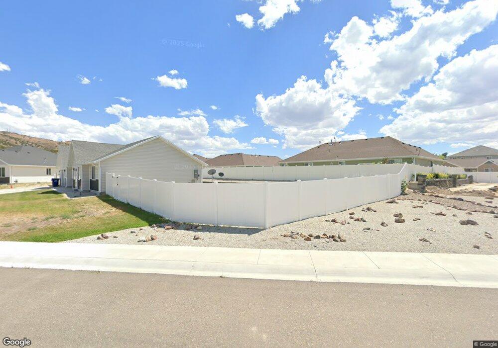
This home is located at 1934 Pheasant Dr, Elko, NV 89801 and is currently estimated at $464,506, approximately $232 per square foot. 1934 Pheasant Dr is a home with nearby schools including Southside Elementary School, Flagview Intermediate School, and Adobe Middle School.
Ownership History
Date
Name
Owned For
Owner Type
Purchase Details
Closed on
Jul 2, 2021
Sold by
Arnold Beck Construction Inc
Bought by
Barry Ibrahima Sory Kandia and Camara Fatoumata
Current Estimated Value
Home Financials for this Owner
Home Financials are based on the most recent Mortgage that was taken out on this home.
Original Mortgage
$362,598
Outstanding Balance
$329,001
Interest Rate
2.9%
Mortgage Type
FHA
Estimated Equity
$135,505
Purchase Details
Closed on
Oct 15, 2020
Sold by
Jordanelle Third Mortage Llc
Bought by
Arnold Beck Construction Inc
Create a Home Valuation Report for This Property
The Home Valuation Report is an in-depth analysis detailing your home's value as well as a comparison with similar homes in the area
Purchase History
| Date | Buyer | Sale Price | Title Company |
|---|---|---|---|
| Barry Ibrahima Sory Kandia | $399,500 | Stewart Title Elko | |
| Arnold Beck Construction Inc | $362,500 | Stewart Title |
Source: Public Records
Mortgage History
| Date | Status | Borrower | Loan Amount |
|---|---|---|---|
| Open | Barry Ibrahima Sory Kandia | $362,598 |
Source: Public Records
Tax History
| Year | Tax Paid | Tax Assessment Tax Assessment Total Assessment is a certain percentage of the fair market value that is determined by local assessors to be the total taxable value of land and additions on the property. | Land | Improvement |
|---|---|---|---|---|
| 2025 | $5,088 | $146,665 | $24,500 | $122,165 |
| 2024 | $5,088 | $138,949 | $15,750 | $123,199 |
| 2023 | $4,462 | $130,512 | $15,750 | $114,762 |
| 2022 | $4,033 | $110,144 | $15,750 | $94,394 |
| 2021 | $3,786 | $107,179 | $15,750 | $91,429 |
| 2020 | $416 | $11,900 | $11,900 | $0 |
Source: Public Records
Map
Nearby Homes
- 1940 Elkhorn Cir
- 1710 Partridge Dr
- 0 Lamoille Hwy Unit 21004590
- 0 Lamoille Hwy Unit 21004530
- TBD Lamoille Hwy
- 0 Lamoille Hwy Unit 21004535
- 0 Lamoille Hwy Unit 21004571
- 0 Lamoille Hwy Unit 250058957
- 0 Lamoille Hwy Unit 3627354
- 0 Pinion Rd
- 1125 Metzler Rd
- 1266 Primrose Ln
- 1270 Primrose Ln
- 1286 Primrose Ln
- 1278 Primrose Ln
- 1280 Primrose Ln
- 1282 Primrose Ln
- 1272 Primrose Ln
- 1279 Primrose Ln
- 1287 Primrose Ln
- 1930 Pheasant Dr
- 1938 Pheasant Dr
- 1845 Deerfield Way
- 1841 Deerfield Way
- 1837 Deerfield Way
- 1926 Pheasant Dr
- 1933 Pheasant Dr
- 1849 Deerfield Way
- 1929 Pheasant Dr
- 2013 Chukar Dr
- 2009 Chukar Dr
- 1925 Pheasant Dr
- 1922 Pheasant Dr
- 2005 Chukar Dr
- 2017 Chukar Dr
- 1829 Deerfield Way
- 1833 Deerfield Way
- 1668 Stitzel Rd
- 1858 Deerfield Way
- 1870 Deerfield Way
Your Personal Tour Guide
Ask me questions while you tour the home.