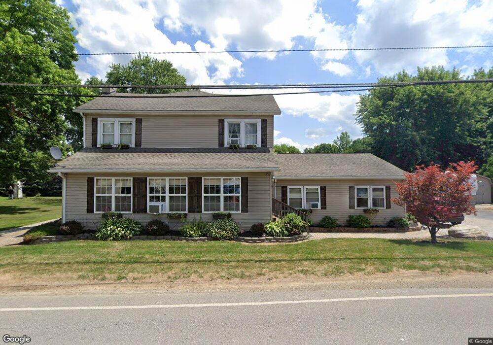
1934 Windsor Rd Mansfield, OH 44905
Estimated Value: $88,000 - $253,000
Studio
--
Bath
--
Sq Ft
8,886
Sq Ft Lot
About This Home
This home is located at 1934 Windsor Rd, Mansfield, OH 44905 and is currently estimated at $184,239. 1934 Windsor Rd is a home located in Richland County with nearby schools including Madison High School, St. Mary Catholic School, and Temple-Christian School.
Ownership History
Date
Name
Owned For
Owner Type
Purchase Details
Closed on
Sep 16, 2005
Sold by
Daniels Amy L and Daniels Chris M
Bought by
Daniels Chris M and Daniels Amy L
Current Estimated Value
Home Financials for this Owner
Home Financials are based on the most recent Mortgage that was taken out on this home.
Original Mortgage
$132,000
Outstanding Balance
$72,166
Interest Rate
6.2%
Mortgage Type
New Conventional
Estimated Equity
$112,073
Purchase Details
Closed on
Oct 1, 1986
Create a Home Valuation Report for This Property
The Home Valuation Report is an in-depth analysis detailing your home's value as well as a comparison with similar homes in the area
Home Values in the Area
Average Home Value in this Area
Purchase History
| Date | Buyer | Sale Price | Title Company |
|---|---|---|---|
| Daniels Chris M | -- | Title Source Inc | |
| -- | $33,000 | -- |
Source: Public Records
Mortgage History
| Date | Status | Borrower | Loan Amount |
|---|---|---|---|
| Closed | Daniels Chris M | $16,500 | |
| Open | Daniels Chris M | $132,000 |
Source: Public Records
Tax History
| Year | Tax Paid | Tax Assessment Tax Assessment Total Assessment is a certain percentage of the fair market value that is determined by local assessors to be the total taxable value of land and additions on the property. | Land | Improvement |
|---|---|---|---|---|
| 2024 | $198 | $3,970 | $1,530 | $2,440 |
| 2023 | $202 | $3,970 | $1,530 | $2,440 |
| 2022 | $165 | $2,900 | $1,230 | $1,670 |
| 2021 | $165 | $2,900 | $1,230 | $1,670 |
| 2020 | $166 | $2,900 | $1,230 | $1,670 |
| 2019 | $166 | $2,700 | $1,030 | $1,670 |
| 2018 | $164 | $2,700 | $1,030 | $1,670 |
| 2017 | $164 | $2,700 | $1,030 | $1,670 |
| 2016 | $167 | $2,740 | $980 | $1,760 |
| 2015 | $167 | $2,740 | $980 | $1,760 |
| 2014 | $164 | $2,740 | $980 | $1,760 |
| 2012 | $82 | $2,880 | $1,030 | $1,850 |
Source: Public Records
Map
Nearby Homes
- 2202 Lakewood Dr
- 1742 Windsor Rd
- 1951 Woodmont Rd
- 1990 Woodmont Rd
- 2244 Pavonia North Rd
- 690 Ashland Rd
- 1696 Township Road 1419
- 954 Mayflower Ave
- 944 Mayflower Ave
- 2495 Emma Ln
- 1359 N Stewart Rd
- 1495 Timber Rd
- 961 Neil Cir N
- 1674 Honeysuckle Dr
- 1098 Stewart Rd N
- 781 N Mcelroy Rd
- 640 Running Brook Way
- 620 Running Brook Way
- 698 Hoover Rd
- 683 Coachman Rd
- 1934 Windsor Rd
- 1916 Windsor Rd
- 1935 Windsor Rd
- 1936 Windsor Rd
- 1738 Hale Rd
- 1917 Windsor Rd
- 1613 Windsor Rd
- 1950 Windsor Rd
- 1950 Windsor Rd
- 1908 Windsor Rd
- 1915 Windsor Rd
- 1959 Windsor Rd
- 1904 Windsor Rd
- 1759 Hale Rd
- 1902 Windsor Rd
- 1973 Windsor Rd
- 1903 Windsor Rd
- 1982 Windsor Rd
- 1897 Windsor Rd
- 2111 Lakewood Dr