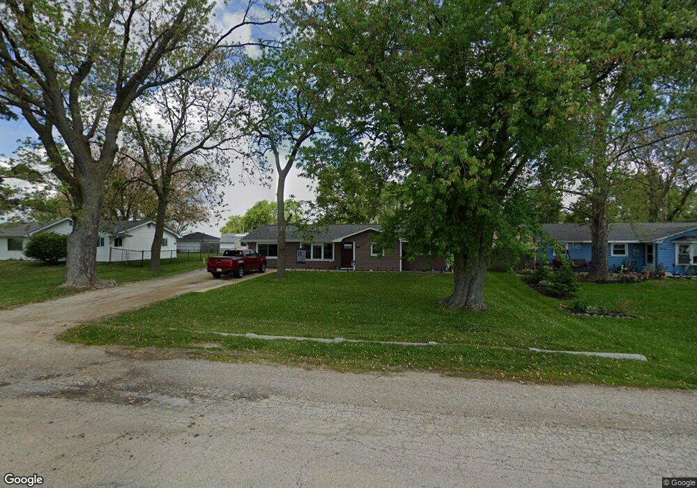
19348 Airport Rd Unit 1 Romeoville, IL 60446
Lewis University NeighborhoodEstimated Value: $226,811 - $286,000
--
Bed
--
Bath
1,410
Sq Ft
$176/Sq Ft
Est. Value
About This Home
This home is located at 19348 Airport Rd Unit 1, Romeoville, IL 60446 and is currently estimated at $247,953, approximately $175 per square foot. 19348 Airport Rd Unit 1 is a home located in Will County with nearby schools including Irene King Elementary School, A. Vito Martinez Middle School, and Romeoville High School.
Ownership History
Date
Name
Owned For
Owner Type
Purchase Details
Closed on
Mar 26, 1998
Sold by
Noe Delores and Delara Delores
Bought by
Townsend Jerome A and Townsend Jackie M
Current Estimated Value
Home Financials for this Owner
Home Financials are based on the most recent Mortgage that was taken out on this home.
Original Mortgage
$90,491
Interest Rate
7.19%
Mortgage Type
FHA
Create a Home Valuation Report for This Property
The Home Valuation Report is an in-depth analysis detailing your home's value as well as a comparison with similar homes in the area
Home Values in the Area
Average Home Value in this Area
Purchase History
| Date | Buyer | Sale Price | Title Company |
|---|---|---|---|
| Townsend Jerome A | $91,000 | -- |
Source: Public Records
Mortgage History
| Date | Status | Borrower | Loan Amount |
|---|---|---|---|
| Previous Owner | Townsend Jerome A | $90,491 |
Source: Public Records
Tax History Compared to Growth
Tax History
| Year | Tax Paid | Tax Assessment Tax Assessment Total Assessment is a certain percentage of the fair market value that is determined by local assessors to be the total taxable value of land and additions on the property. | Land | Improvement |
|---|---|---|---|---|
| 2024 | $6,131 | $74,128 | $18,935 | $55,193 |
| 2023 | $6,131 | $66,548 | $16,999 | $49,549 |
| 2022 | $5,571 | $62,077 | $15,856 | $46,221 |
| 2021 | $5,302 | $58,338 | $14,901 | $43,437 |
| 2020 | $5,156 | $56,420 | $14,411 | $42,009 |
| 2019 | $4,876 | $53,479 | $13,660 | $39,819 |
| 2018 | $4,556 | $49,753 | $12,881 | $36,872 |
| 2017 | $4,181 | $46,047 | $11,922 | $34,125 |
| 2016 | $3,938 | $43,155 | $11,173 | $31,982 |
| 2015 | $4,201 | $41,061 | $10,631 | $30,430 |
| 2014 | $4,201 | $39,865 | $10,321 | $29,544 |
| 2013 | $4,201 | $45,301 | $11,728 | $33,573 |
Source: Public Records
Map
Nearby Homes
- 15035 Hartman Dr
- 1.4 Acres S Archer Ave
- 1600 Fairmount
- Lot 24 W Windemere Cir
- Lot 13 W Windemere Cir
- 17439 W Windemere Cir
- 17529 W Windemere Cir
- 242 Tallman Ave
- 204 Healy Ave
- 221 Murphy Dr
- 408 Haller Ave
- 923 E Savannah Dr Unit 2
- 939 E Savannah Dr
- Lot 2 Governors Hwy
- 0 N Weber Rd Unit MRD12364369
- 312 Fremont Ave
- 729 Vine St
- 1282 W Normantown Rd
- Lot 5 Weber Rd
- 1033 Key Largo Dr Unit M702
- 19342 Airport Rd Unit 1
- 19356 Airport Rd
- 19351 Jacquie Ave
- 19351 Jacquie Ave
- 19359 Jacquie Ave Unit 1
- 19343 Jacquie Ave
- 19359 Jacquie Ave
- 19330 Airport Rd
- 19331 Jacquie Ave
- 19322 Airport Rd
- 19331 Jacquie Ave
- 19321 Jacquie Ave
- 19350 Jacquie Ave
- 19340 Jacquie Ave
- 19332 Jacquie Ave
- 19332 Jacquie Ave
- 19332 Jacquie Ave
- 19313 Jacquie Ave
- 19324 Jacquie Ave
- 19324 Jacquie Ave