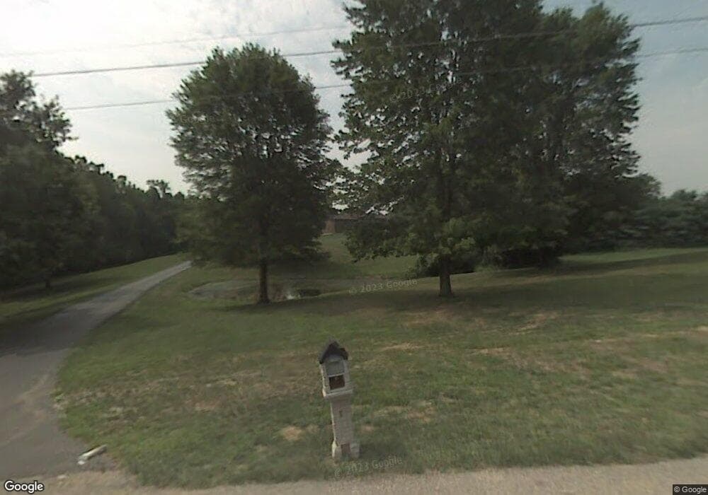
1935 Conway Hills Dr Hebron, KY 41048
Estimated Value: $977,000 - $1,755,234
8
Beds
8
Baths
8,162
Sq Ft
$167/Sq Ft
Est. Value
About This Home
This home is located at 1935 Conway Hills Dr, Hebron, KY 41048 and is currently estimated at $1,365,559, approximately $167 per square foot. 1935 Conway Hills Dr is a home located in Boone County with nearby schools including North Pointe Elementary School, Conner Middle School, and Conner High School.
Ownership History
Date
Name
Owned For
Owner Type
Purchase Details
Closed on
Sep 19, 2023
Sold by
Kenton County Airport Board
Bought by
Easton Equity Partners Llc
Current Estimated Value
Purchase Details
Closed on
Jun 27, 2014
Sold by
Sandra W Easton Trust
Bought by
Easton Arlyn L
Purchase Details
Closed on
Sep 29, 2009
Sold by
Easton Sandra W and Easton Arlyn T
Bought by
Easton Sandra W and Sandra W Easton Trust
Create a Home Valuation Report for This Property
The Home Valuation Report is an in-depth analysis detailing your home's value as well as a comparison with similar homes in the area
Home Values in the Area
Average Home Value in this Area
Purchase History
| Date | Buyer | Sale Price | Title Company |
|---|---|---|---|
| Easton Equity Partners Llc | $130,000 | None Listed On Document | |
| Easton Arlyn L | -- | None Available | |
| Easton Sandra W | -- | None Available |
Source: Public Records
Tax History Compared to Growth
Tax History
| Year | Tax Paid | Tax Assessment Tax Assessment Total Assessment is a certain percentage of the fair market value that is determined by local assessors to be the total taxable value of land and additions on the property. | Land | Improvement |
|---|---|---|---|---|
| 2024 | $13,056 | $1,250,000 | $175,000 | $1,075,000 |
| 2023 | $11,748 | $1,100,000 | $100,000 | $1,000,000 |
| 2022 | $11,800 | $1,100,000 | $100,000 | $1,000,000 |
| 2021 | $11,856 | $1,100,000 | $100,000 | $1,000,000 |
| 2020 | $11,999 | $1,100,000 | $100,000 | $1,000,000 |
| 2019 | $12,092 | $1,100,000 | $100,000 | $1,000,000 |
| 2018 | $11,977 | $1,100,000 | $100,000 | $1,000,000 |
| 2017 | $4,195 | $384,900 | $100,000 | $284,900 |
| 2015 | $2,075 | $191,800 | $50,000 | $141,800 |
| 2013 | -- | $191,800 | $50,000 | $141,800 |
Source: Public Records
Map
Nearby Homes
- 765 N Bend Rd
- 803 Lot 6 N Bend Rd Unit 6
- 803 N Bend Rd Unit 6
- 720 Broomtail Ln
- 1783 Coachtrail Dr
- 1727 Coachtrail Dr
- 1083 Breckenridge Ln
- 1353 Dominion Trail
- 1012 Meadowbrook Ct
- 1770 Marshview Ct
- 1963 Greyfield Trail
- 1843 Emory Ct
- The Austin Plan at North Pointe
- The Waterson Plan at North Pointe
- The Bristol Plan at North Pointe
- The Livingston Plan at North Pointe
- The Lancaster Plan at North Pointe
- The Courtney Plan at North Pointe
- The Lincoln Plan at North Pointe
- The Morgan Plan at North Pointe
- 694 N Bend Rd
- 1975 Conway Hills Dr
- 684 N Bend Rd
- 1917 Conway Hills Dr
- 767 Stable Ln
- 722 N Bend Rd
- 775 Stable Ln
- 732 N Bend Rd
- 1982 Conway Hills Dr
- 1871 Conway Hills Dr
- 1960 Conway Hills Dr
- 766 Stable Ln
- 1900 Conway Hills Dr
- 669 N Bend Rd
- 707 N Bend Rd
- 1848 Conway Hills Dr
- 783 Stable Ln
- 745 N Bend Rd
- 0 Stable Ln Unit 271431
- 0 Stable Ln Unit 276959
