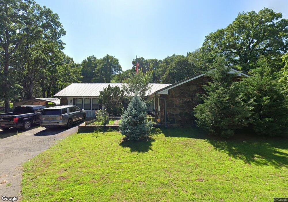
1935 E Mcgill Cir Eufaula, OK 74432
Estimated Value: $273,905 - $421,000
3
Beds
2
Baths
2,680
Sq Ft
$125/Sq Ft
Est. Value
About This Home
This home is located at 1935 E Mcgill Cir, Eufaula, OK 74432 and is currently estimated at $335,226, approximately $125 per square foot. 1935 E Mcgill Cir is a home located in McIntosh County with nearby schools including Eufaula Elementary School, Eufaula Middle School, and Eufaula High School.
Ownership History
Date
Name
Owned For
Owner Type
Purchase Details
Closed on
Jun 14, 2016
Sold by
Johnson Orlo D and Johnson Margery S
Bought by
Apala Robert Lemuel and Apala Terri Dian
Current Estimated Value
Home Financials for this Owner
Home Financials are based on the most recent Mortgage that was taken out on this home.
Original Mortgage
$178,000
Outstanding Balance
$141,469
Interest Rate
3.61%
Mortgage Type
VA
Estimated Equity
$193,757
Purchase Details
Closed on
Jul 7, 2005
Sold by
Furman Victoria and Furman Michael
Bought by
Johnson Orlo D and Johnson Margery S
Purchase Details
Closed on
Nov 8, 2004
Sold by
Djevalikian
Bought by
Furman
Purchase Details
Closed on
Jun 14, 2002
Sold by
Thomas
Bought by
Djevalikian
Purchase Details
Closed on
Sep 17, 1996
Sold by
Brooks
Bought by
Thomas
Purchase Details
Closed on
Feb 12, 1994
Create a Home Valuation Report for This Property
The Home Valuation Report is an in-depth analysis detailing your home's value as well as a comparison with similar homes in the area
Home Values in the Area
Average Home Value in this Area
Purchase History
| Date | Buyer | Sale Price | Title Company |
|---|---|---|---|
| Apala Robert Lemuel | $178,000 | None Available | |
| Johnson Orlo D | $140,000 | None Available | |
| Furman | $110,000 | -- | |
| Djevalikian | $100,500 | -- | |
| Thomas | $112,700 | -- | |
| -- | $72,000 | -- |
Source: Public Records
Mortgage History
| Date | Status | Borrower | Loan Amount |
|---|---|---|---|
| Open | Apala Robert Lemuel | $178,000 |
Source: Public Records
Tax History
| Year | Tax Paid | Tax Assessment Tax Assessment Total Assessment is a certain percentage of the fair market value that is determined by local assessors to be the total taxable value of land and additions on the property. | Land | Improvement |
|---|---|---|---|---|
| 2025 | $1,655 | $20,545 | $1,812 | $18,733 |
| 2024 | $1,655 | $20,545 | $1,189 | $19,356 |
| 2023 | $1,655 | $19,366 | $941 | $18,425 |
| 2022 | $1,523 | $19,366 | $941 | $18,425 |
| 2021 | $1,541 | $19,366 | $941 | $18,425 |
| 2020 | $1,542 | $19,366 | $941 | $18,425 |
| 2019 | $1,536 | $19,133 | $941 | $18,192 |
| 2018 | $1,510 | $19,134 | $941 | $18,193 |
| 2017 | $1,550 | $19,602 | $941 | $18,661 |
| 2016 | $1,283 | $16,334 | $941 | $15,393 |
| 2015 | $1,267 | $16,343 | $893 | $15,450 |
| 2014 | $1,220 | $15,868 | $867 | $15,001 |
Source: Public Records
Map
Nearby Homes
- 1831 Rockford Dr
- 1879 Rockford Dr
- 1826 W Mcgill Cir
- 1781 E Mcgill
- 1791 W Mcgill Cir
- 1747 Mcgill Cir
- 1701 Mcgill Cir
- 9 Coon Creek Dr
- 3 Coon Creek Dr
- 15 Quail Dr
- 14 Quail Dr
- 17 Quail Dr
- 13 Quail Dr
- 1931 Coon Creek Dr
- 1812 Sunset Dr
- 32 E Coon Creek Ln
- 0 Coon Creek Rd Unit 2520205
- 0 Coon Creek Rd Unit 2548087
- 0 Coon Creek Rd Unit 2520422
- 0 Airport Rd
- 29 Hc 62
- 1917 E Mcgill Cir
- 0 Hill Top Rd Unit 1829993
- 0 Hill Top Rd Unit 1905760
- 1936 E Mcgill Cir
- 1981 E Mcgill Cir
- 1913 Hilltop Dr
- 0 Mcgill Cir
- 68 Mcgill Cir
- 63 Mcgill Cir
- 65 Mcgill Cir
- 46 Hc 62
- 1951 Hilltop Dr
- 31 Hc 62
- 31 Hc 62
- 2002 E Mcgill Cir
- 46A Hc 62
- 1983 Hilltop Dr
- 2005 E Mcgill Cir
- 1903 W Mcgill Cir
Your Personal Tour Guide
Ask me questions while you tour the home.