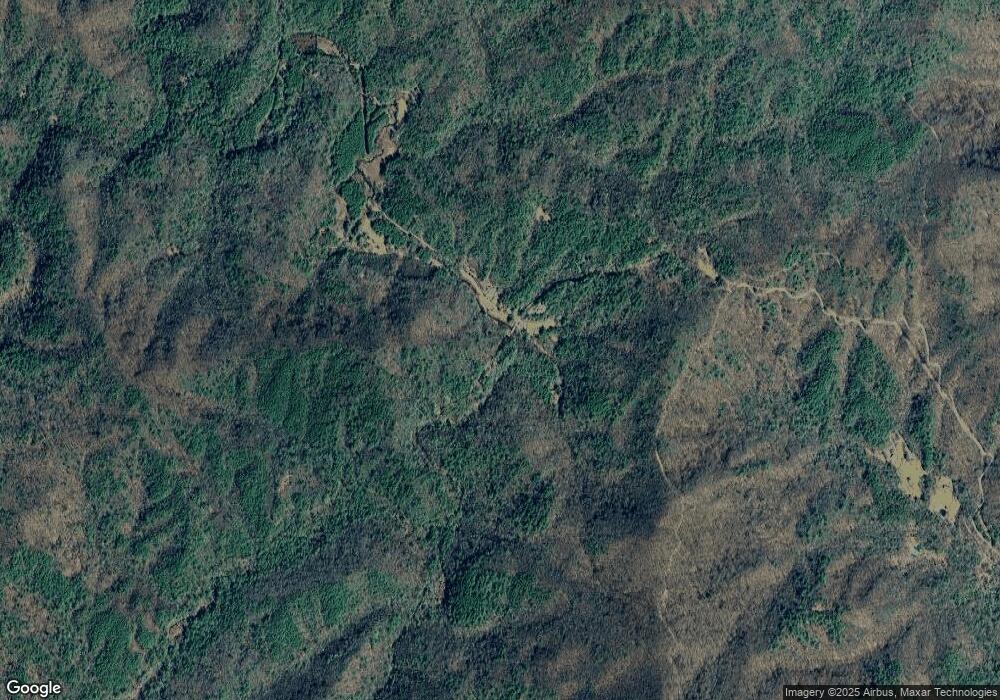
1935 Foster Branch Rd Epworth, GA 30541
Estimated Value: $86,000 - $277,000
--
Bed
--
Bath
576
Sq Ft
$346/Sq Ft
Est. Value
About This Home
This home is located at 1935 Foster Branch Rd, Epworth, GA 30541 and is currently estimated at $199,181, approximately $345 per square foot. 1935 Foster Branch Rd is a home with nearby schools including Fannin County High School.
Ownership History
Date
Name
Owned For
Owner Type
Purchase Details
Closed on
Jun 20, 2018
Sold by
Cardell
Bought by
Prather William L
Current Estimated Value
Purchase Details
Closed on
May 10, 2016
Sold by
Cardell Franklin
Bought by
Cardell Susan C and Cardell Owen F
Purchase Details
Closed on
Aug 20, 2015
Sold by
Prather William L
Bought by
Prather William L and Prather Layne L
Purchase Details
Closed on
Aug 29, 1997
Sold by
Dinsmore Clarence
Bought by
Prather William L
Purchase Details
Closed on
Nov 5, 1983
Bought by
Dinsmore Clarence
Create a Home Valuation Report for This Property
The Home Valuation Report is an in-depth analysis detailing your home's value as well as a comparison with similar homes in the area
Home Values in the Area
Average Home Value in this Area
Purchase History
| Date | Buyer | Sale Price | Title Company |
|---|---|---|---|
| Prather William L | $35,000 | -- | |
| Cardell Susan C | -- | -- | |
| Prather William L | -- | -- | |
| Prather William L | $26,000 | -- | |
| Dinsmore Clarence | $4,000 | -- |
Source: Public Records
Tax History Compared to Growth
Tax History
| Year | Tax Paid | Tax Assessment Tax Assessment Total Assessment is a certain percentage of the fair market value that is determined by local assessors to be the total taxable value of land and additions on the property. | Land | Improvement |
|---|---|---|---|---|
| 2024 | $517 | $56,404 | $19,823 | $36,581 |
| 2023 | $501 | $49,106 | $19,823 | $29,283 |
| 2022 | $505 | $49,545 | $19,823 | $29,722 |
| 2021 | $382 | $27,243 | $9,400 | $17,843 |
| 2020 | $388 | $27,243 | $9,400 | $17,843 |
| 2019 | $396 | $27,243 | $9,400 | $17,843 |
| 2018 | $420 | $27,243 | $9,400 | $17,843 |
| 2017 | $486 | $27,484 | $9,400 | $18,084 |
| 2016 | $378 | $22,230 | $9,400 | $12,830 |
| 2015 | $398 | $22,425 | $9,400 | $13,025 |
| 2014 | $574 | $32,239 | $17,986 | $14,253 |
| 2013 | -- | $27,605 | $17,986 | $9,619 |
Source: Public Records
Map
Nearby Homes
- 3967 Highway 2
- 8556 Highway 2
- 200 Dancing Leaves Trail
- 225 Cohutta Ranch Rd
- 100 Cohutta View Rd
- 85 Foster Cove Rd
- 550 Watson Rd
- 580 Emmaus Rd
- 3760 Devils Den Rd
- 769 Higdon Creek Rd
- 136 Pack Creek Rd
- 463 Big Sky Trail Unit 15,16,17
- 463 Big Sky Trail
- Tract 2 Emmaus Rd
- 3421 Devils Den Rd
- 1275 Hells Hollow Rd
- 2103 Jacks River Rd
- 5 AC Jacks River Rd
- 1058 Jacks River Rd
- 25 Quail Hollow
- 30 Oasis Ln Unit 3
- 25 Quail Hollow
- 30 Oasis Ln
- LOT11 Quail Ridge
- 30 Oasis Ln
- 1098 Jacks River Rd
- 1061 Jacks River Rd
- 1065 Jacks River Rd
- 521 Fairbanks Ln
- 3.98 Jacks River Rd
- 3.98 Jack's River
- 573 Fairbanks Ln
- 797 Jacks River Rd
- 926 Jacks River Rd
- 184 Jacks River Rd
- 455 Jacks River Rd
