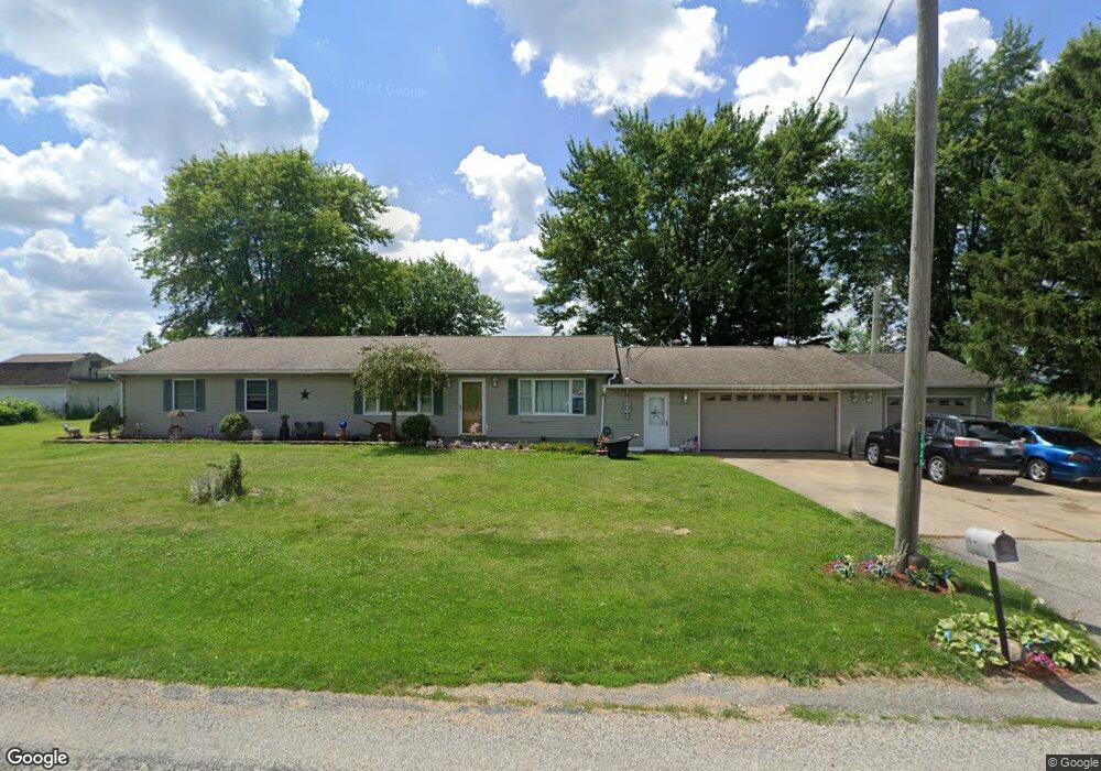
1935 Heyman Rd Bellevue, OH 44811
Estimated Value: $236,000 - $355,000
3
Beds
1
Bath
1,888
Sq Ft
$141/Sq Ft
Est. Value
About This Home
This home is located at 1935 Heyman Rd, Bellevue, OH 44811 and is currently estimated at $266,966, approximately $141 per square foot. 1935 Heyman Rd is a home located in Huron County with nearby schools including Bellevue Elementary School, Bellevue Middle School, and Bellevue High School.
Ownership History
Date
Name
Owned For
Owner Type
Purchase Details
Closed on
Sep 28, 2004
Bought by
Halsey Rebecca L
Current Estimated Value
Purchase Details
Closed on
Mar 11, 1993
Bought by
Halsey Jesse R
Create a Home Valuation Report for This Property
The Home Valuation Report is an in-depth analysis detailing your home's value as well as a comparison with similar homes in the area
Home Values in the Area
Average Home Value in this Area
Purchase History
| Date | Buyer | Sale Price | Title Company |
|---|---|---|---|
| Halsey Rebecca L | -- | -- | |
| Halsey Jesse R | -- | -- |
Source: Public Records
Tax History Compared to Growth
Tax History
| Year | Tax Paid | Tax Assessment Tax Assessment Total Assessment is a certain percentage of the fair market value that is determined by local assessors to be the total taxable value of land and additions on the property. | Land | Improvement |
|---|---|---|---|---|
| 2024 | $2,402 | $67,520 | $9,170 | $58,350 |
| 2023 | $2,402 | $51,590 | $6,720 | $44,870 |
| 2022 | $1,903 | $51,590 | $6,720 | $44,870 |
| 2021 | $1,919 | $51,590 | $6,720 | $44,870 |
| 2020 | $1,836 | $47,700 | $5,260 | $42,440 |
| 2019 | $1,806 | $47,700 | $5,260 | $42,440 |
| 2018 | $1,743 | $47,700 | $5,260 | $42,440 |
| 2017 | $1,403 | $41,070 | $4,980 | $36,090 |
| 2016 | $1,361 | $41,070 | $4,980 | $36,090 |
| 2015 | $1,392 | $41,070 | $4,980 | $36,090 |
| 2014 | $1,444 | $41,100 | $5,010 | $36,090 |
| 2013 | $1,442 | $41,100 | $5,010 | $36,090 |
Source: Public Records
Map
Nearby Homes
- 7740 Washington St
- 3851 Everingin Rd
- 3050 E Main St
- 644 Ohio 99
- 140 Hobson St
- 4365 N Greenfield Rd
- 111 Park Ave
- 501 E Center St
- 817 E Main St
- 881 Flat Rock Rd
- 736 Kilbourne St
- 720 Kilbourne St
- 206 Southwest St
- 140 Harkness St
- 818 Bellaire Dr
- 155 Ashford Ave
- 129 Hamilton St
- 803 Del Moy Ave
- 0 Hartland Dr
- 154 Ashford Ave
- 1530 Heyman Rd
- 1530 Heyman Rd
- 6075 State Route 547
- 6096 State Route 547
- 6080 State Route 547
- 6050 State Route 547
- 6386 State Route 547
- 2100 State Route 4
- 2126 State Route 4
- 2206 State Route 4
- 2228 State Route 4
- 2228 State Route 4
- 1421 Heyman Rd
- 2201 State Route 4
- 1933 Section Line Road 30
- 6517 State Route 547
- 6517 Ohio 547
- 1963 Section Line Road 30
- 1985 Section Line Road 30
- 1985 Section Line Road 30