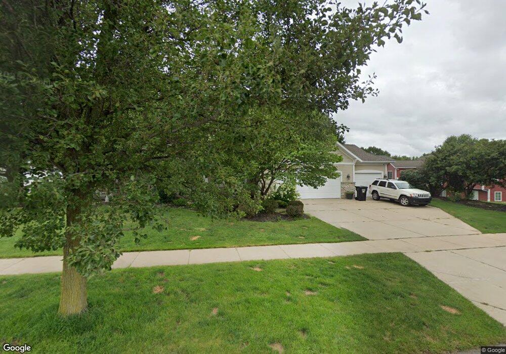
1935 Lilypad Dr Byron Center, MI 49315
Estimated Value: $659,740 - $739,000
6
Beds
4
Baths
2,816
Sq Ft
$249/Sq Ft
Est. Value
About This Home
This home is located at 1935 Lilypad Dr, Byron Center, MI 49315 and is currently estimated at $700,685, approximately $248 per square foot. 1935 Lilypad Dr is a home located in Kent County with nearby schools including Marshall Elementary School, Robert L. Nickels Intermediate School, and Byron Center West Middle School.
Ownership History
Date
Name
Owned For
Owner Type
Purchase Details
Closed on
Sep 12, 2014
Sold by
Foxx Nathan A and Foxx Vivian Ann
Bought by
Chavez Juan J and Reza Chavez Sandra
Current Estimated Value
Home Financials for this Owner
Home Financials are based on the most recent Mortgage that was taken out on this home.
Original Mortgage
$256,000
Interest Rate
3.64%
Mortgage Type
New Conventional
Purchase Details
Closed on
Apr 24, 2007
Sold by
Lenger Scott and Lenger Teresa
Bought by
Foxx Nathan A and Foxx Vivian Ann
Home Financials for this Owner
Home Financials are based on the most recent Mortgage that was taken out on this home.
Original Mortgage
$172,500
Interest Rate
6.2%
Mortgage Type
Purchase Money Mortgage
Create a Home Valuation Report for This Property
The Home Valuation Report is an in-depth analysis detailing your home's value as well as a comparison with similar homes in the area
Home Values in the Area
Average Home Value in this Area
Purchase History
| Date | Buyer | Sale Price | Title Company |
|---|---|---|---|
| Chavez Juan J | $320,000 | None Available | |
| Foxx Nathan A | $345,000 | None Available |
Source: Public Records
Mortgage History
| Date | Status | Borrower | Loan Amount |
|---|---|---|---|
| Previous Owner | Chavez Juan J | $256,000 | |
| Previous Owner | Foxx Nathan A | $172,500 |
Source: Public Records
Tax History Compared to Growth
Tax History
| Year | Tax Paid | Tax Assessment Tax Assessment Total Assessment is a certain percentage of the fair market value that is determined by local assessors to be the total taxable value of land and additions on the property. | Land | Improvement |
|---|---|---|---|---|
| 2025 | $5,174 | $315,900 | $0 | $0 |
| 2024 | $5,174 | $295,400 | $0 | $0 |
| 2023 | $4,949 | $273,900 | $0 | $0 |
| 2022 | $6,897 | $258,000 | $0 | $0 |
| 2021 | $6,712 | $234,600 | $0 | $0 |
| 2020 | $4,555 | $234,600 | $0 | $0 |
| 2019 | $6,550 | $220,100 | $0 | $0 |
| 2018 | $6,416 | $212,500 | $34,000 | $178,500 |
| 2017 | $6,242 | $196,800 | $0 | $0 |
| 2016 | $6,018 | $185,100 | $0 | $0 |
| 2015 | $5,029 | $185,100 | $0 | $0 |
| 2013 | -- | $163,500 | $0 | $0 |
Source: Public Records
Map
Nearby Homes
- 1752 Springwind Dr SW
- 1645 Springwind Dr SW
- 1568 Bogey St SW Unit 1
- 6617 Northfield St SW
- 1818 Northfield Ct SW
- 1557 Marksbury Ct
- 6840 Burlingame Ave SW
- 2245 Pleasant Pond Dr SW
- 1531 Dexter Dr SW Unit 37
- Whitby Plan at Kuiper's Meadow - Cottage Series
- Pentwater Plan at Kuiper's Meadow - Landmark Series
- Harbor Springs Plan at Kuiper's Meadow - Landmark Series
- Sequoia Plan at Kuiper's Meadow - Woodland Series
- Bay Harbor Plan at Kuiper's Meadow - Landmark Series
- Elmwood Plan at Kuiper's Meadow - Woodland Series
- Maplewood Plan at Kuiper's Meadow - Woodland Series
- Camden Plan at Kuiper's Meadow - Cottage Series
- Cedarwood Plan at Kuiper's Meadow - Woodland Series
- Sycamore Plan at Kuiper's Meadow - Woodland Series
- Redwood Plan at Kuiper's Meadow - Woodland Series
- 1935 Lillypad Dr SW
- 7074 Country Springs Dr SW
- 7083 Windrift Dr
- 1934 Lillypad Dr SW
- 7083 Windrift Ave SW
- 7075 Windrift Ave SW
- 1946 Lillypad Dr SW
- 1946 Lilypad Dr SW
- 7058 Country Springs Dr SW
- 7067 Windrift Ave SW
- 7170 Cattail SW
- 7179 Cattail SW
- 1960 Lillypad Dr SW
- 7079 Country Springs Dr SW
- 7071 Country Springs Dr SW
- 7080 Windrift Ave SW
- 7050 Country Springs Dr SW
- 7059 Windrift Ave SW
- 7087 Country Springs Dr SW
- 7063 Country Springs Dr SW