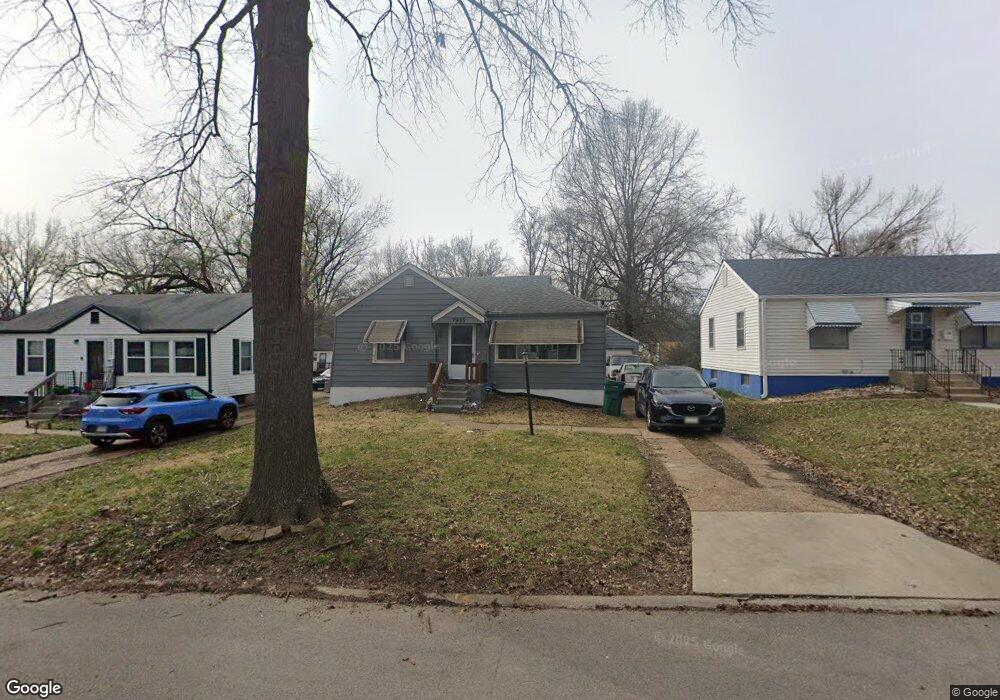
1935 Raft Dr Saint Louis, MO 63133
Estimated Value: $86,000 - $106,000
3
Beds
1
Bath
792
Sq Ft
$125/Sq Ft
Est. Value
About This Home
This home is located at 1935 Raft Dr, Saint Louis, MO 63133 and is currently estimated at $98,730, approximately $124 per square foot. 1935 Raft Dr is a home located in St. Louis County with nearby schools including Normandy High School, The Leadership School, and The Freedom School.
Ownership History
Date
Name
Owned For
Owner Type
Purchase Details
Closed on
Feb 23, 2017
Sold by
Johnson Theresa D
Bought by
Johnson Theresa D and Johnson Rebekkah J
Current Estimated Value
Purchase Details
Closed on
Mar 18, 2002
Sold by
Brown Antoinette
Bought by
Johnson Theresa D
Home Financials for this Owner
Home Financials are based on the most recent Mortgage that was taken out on this home.
Original Mortgage
$49,899
Outstanding Balance
$20,565
Interest Rate
6.87%
Mortgage Type
Seller Take Back
Estimated Equity
$78,165
Purchase Details
Closed on
Mar 7, 1998
Sold by
Hightower Edith B
Bought by
Brown Antoinette
Purchase Details
Closed on
Dec 10, 1997
Sold by
Antoinette Brown
Bought by
Brown Michelle Renee
Create a Home Valuation Report for This Property
The Home Valuation Report is an in-depth analysis detailing your home's value as well as a comparison with similar homes in the area
Home Values in the Area
Average Home Value in this Area
Purchase History
| Date | Buyer | Sale Price | Title Company |
|---|---|---|---|
| Johnson Theresa D | -- | None Available | |
| Johnson Theresa D | $49,900 | -- | |
| Brown Antoinette | -- | -- | |
| Brown Michelle Renee | -- | -- |
Source: Public Records
Mortgage History
| Date | Status | Borrower | Loan Amount |
|---|---|---|---|
| Open | Johnson Theresa D | $49,899 |
Source: Public Records
Tax History Compared to Growth
Tax History
| Year | Tax Paid | Tax Assessment Tax Assessment Total Assessment is a certain percentage of the fair market value that is determined by local assessors to be the total taxable value of land and additions on the property. | Land | Improvement |
|---|---|---|---|---|
| 2025 | $964 | $14,950 | $2,220 | $12,730 |
| 2024 | $964 | $10,140 | $2,220 | $7,920 |
| 2023 | $1,122 | $11,340 | $2,220 | $9,120 |
| 2022 | $1,101 | $9,460 | $1,840 | $7,620 |
| 2021 | $1,057 | $9,460 | $1,840 | $7,620 |
| 2020 | $950 | $7,810 | $1,860 | $5,950 |
| 2019 | $929 | $7,810 | $1,860 | $5,950 |
| 2018 | $989 | $7,810 | $1,160 | $6,650 |
| 2017 | $995 | $7,810 | $1,160 | $6,650 |
| 2016 | $971 | $7,320 | $1,160 | $6,160 |
| 2015 | $943 | $7,320 | $1,160 | $6,160 |
| 2014 | $1,239 | $9,660 | $1,580 | $8,080 |
Source: Public Records
Map
Nearby Homes
- 1944 Falcon Dr
- 1901 Owen Dr
- 7335 Trenton Ave
- 7231 Teal Ave
- 1609 Bradford Ave
- 7372 Liberty Ave
- 1617 Purdue Ave
- 7336 Milan Ave
- 1604 Quendo Ave
- 7339 Wayne Ave
- 1545 Moore Place
- 1529 Nixon Ave
- 8008 Monroe Ave
- 1520 Purdue Ave
- 7525 Cory Place
- 7441 Trenton Ave
- 7171 White Oak Ln
- 7507 Liberty Ave
- 8109 Washington St
- 8138 Underhill Dr