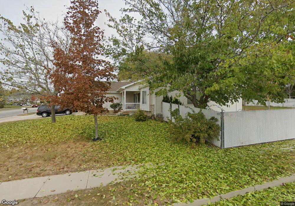
1935 S 1575 W Syracuse, UT 84075
Estimated Value: $556,000 - $571,740
3
Beds
2
Baths
1,688
Sq Ft
$333/Sq Ft
Est. Value
About This Home
This home is located at 1935 S 1575 W, Syracuse, UT 84075 and is currently estimated at $562,935, approximately $333 per square foot. 1935 S 1575 W is a home located in Davis County with nearby schools including Cook School, Syracuse Junior High School, and Syracuse High School.
Ownership History
Date
Name
Owned For
Owner Type
Purchase Details
Closed on
Nov 29, 2016
Sold by
Lane David R and Lane Katherine L
Bought by
Lane David R and Lane Family Trust
Current Estimated Value
Purchase Details
Closed on
Jul 29, 1997
Sold by
Watt Residential Partners
Bought by
Lane David R and Lane Katherine L
Home Financials for this Owner
Home Financials are based on the most recent Mortgage that was taken out on this home.
Original Mortgage
$127,700
Interest Rate
7.58%
Create a Home Valuation Report for This Property
The Home Valuation Report is an in-depth analysis detailing your home's value as well as a comparison with similar homes in the area
Home Values in the Area
Average Home Value in this Area
Purchase History
| Date | Buyer | Sale Price | Title Company |
|---|---|---|---|
| Lane David R | -- | None Available | |
| Lane David R | -- | First American Title Co |
Source: Public Records
Mortgage History
| Date | Status | Borrower | Loan Amount |
|---|---|---|---|
| Previous Owner | Lane David R | $127,700 |
Source: Public Records
Tax History Compared to Growth
Tax History
| Year | Tax Paid | Tax Assessment Tax Assessment Total Assessment is a certain percentage of the fair market value that is determined by local assessors to be the total taxable value of land and additions on the property. | Land | Improvement |
|---|---|---|---|---|
| 2025 | $3,073 | $296,450 | $123,035 | $173,415 |
| 2024 | -- | $285,451 | $106,024 | $179,427 |
| 2023 | $2,746 | $486,000 | $147,481 | $338,519 |
| 2022 | $2,987 | $289,850 | $84,301 | $205,549 |
| 2021 | $2,683 | $403,000 | $125,070 | $277,930 |
| 2020 | $2,407 | $350,000 | $106,796 | $243,204 |
| 2019 | $2,320 | $333,000 | $107,028 | $225,972 |
| 2018 | $2,126 | $303,000 | $101,940 | $201,060 |
| 2016 | $1,923 | $143,715 | $39,030 | $104,685 |
| 2015 | $1,845 | $131,340 | $39,030 | $92,310 |
| 2014 | $1,864 | $135,162 | $39,030 | $96,132 |
| 2013 | -- | $125,786 | $34,234 | $91,552 |
Source: Public Records
Map
Nearby Homes
- 1917 Dahl Ln
- 1917 S 1575 W
- 1938 Allison Way
- 1965 S 1575 W
- 1965 Dahl Ln
- 1922 Allison Way
- 1901 S 1575 W
- 1901 Dahl Ln
- 1936 Dahl Ln
- 1936 S 1575 W
- 1980 Allison Way
- 1918 S 1575 W
- 1918 S 1575 W Unit 7
- 1906 Allison Way
- 1964 Dahl Ln
- 1981 S 1575 W
- 1964 S 1575 W
- 1885 Dahl Ln Unit 28
- 1885 S 1575 W
- 1902 S 1575 W