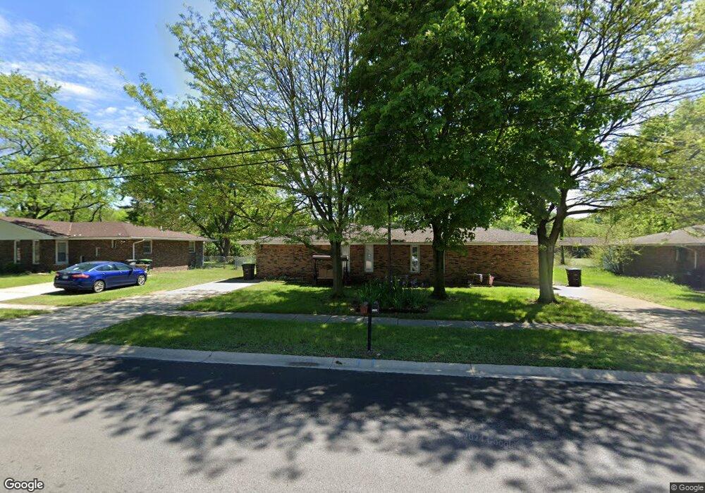
1935 Samuelson Rd Unit 37 Portage, IN 46368
Estimated Value: $232,922 - $248,000
2
Beds
1
Bath
994
Sq Ft
$242/Sq Ft
Est. Value
About This Home
This home is located at 1935 Samuelson Rd Unit 37, Portage, IN 46368 and is currently estimated at $240,231, approximately $241 per square foot. 1935 Samuelson Rd Unit 37 is a home located in Porter County with nearby schools including Crisman Elementary School, Willowcreek Middle School, and Portage High School.
Ownership History
Date
Name
Owned For
Owner Type
Purchase Details
Closed on
Dec 3, 2025
Sold by
Lcd Enterprises and Lcd Enterprises Inc
Bought by
Stoneset Llc
Current Estimated Value
Home Financials for this Owner
Home Financials are based on the most recent Mortgage that was taken out on this home.
Original Mortgage
$192,000
Outstanding Balance
$186,506
Interest Rate
6.17%
Mortgage Type
New Conventional
Estimated Equity
$53,725
Purchase Details
Closed on
Dec 11, 2019
Sold by
Skarja Renee
Bought by
Lcd Enterprises
Purchase Details
Closed on
Nov 7, 2006
Sold by
Shelby Gene A
Bought by
Skarja Renee
Home Financials for this Owner
Home Financials are based on the most recent Mortgage that was taken out on this home.
Original Mortgage
$98,900
Interest Rate
6.49%
Mortgage Type
Purchase Money Mortgage
Purchase Details
Closed on
Oct 6, 2006
Sold by
Jawor Gerald Eugene
Bought by
Shelby Gene A
Home Financials for this Owner
Home Financials are based on the most recent Mortgage that was taken out on this home.
Original Mortgage
$98,900
Interest Rate
6.49%
Mortgage Type
Purchase Money Mortgage
Create a Home Valuation Report for This Property
The Home Valuation Report is an in-depth analysis detailing your home's value as well as a comparison with similar homes in the area
Home Values in the Area
Average Home Value in this Area
Purchase History
| Date | Buyer | Sale Price | Title Company |
|---|---|---|---|
| Stoneset Llc | -- | Fidelity National Title | |
| Lcd Enterprises | -- | Meridian Title Corp | |
| Skarja Renee | -- | Indiana Title Network Co | |
| Shelby Gene A | -- | Multiple |
Source: Public Records
Mortgage History
| Date | Status | Borrower | Loan Amount |
|---|---|---|---|
| Open | Stoneset Llc | $192,000 | |
| Previous Owner | Shelby Gene A | $98,900 |
Source: Public Records
Tax History
| Year | Tax Paid | Tax Assessment Tax Assessment Total Assessment is a certain percentage of the fair market value that is determined by local assessors to be the total taxable value of land and additions on the property. | Land | Improvement |
|---|---|---|---|---|
| 2025 | $3,662 | $209,400 | $33,300 | $176,100 |
| 2024 | $5,339 | $181,100 | $30,800 | $150,300 |
| 2023 | $2,962 | $187,400 | $29,400 | $158,000 |
| 2022 | $2,922 | $146,100 | $29,400 | $116,700 |
| 2021 | $2,748 | $135,400 | $29,400 | $106,000 |
| 2020 | $2,480 | $122,000 | $29,400 | $92,600 |
| 2019 | $1,667 | $122,200 | $29,400 | $92,800 |
| 2018 | $1,694 | $123,900 | $29,400 | $94,500 |
| 2017 | $1,607 | $120,400 | $29,400 | $91,000 |
| 2016 | $1,593 | $117,400 | $29,300 | $88,100 |
| 2014 | $1,609 | $117,000 | $29,400 | $87,600 |
| 2013 | -- | $115,500 | $30,900 | $84,600 |
Source: Public Records
Map
Nearby Homes
- 6799 Laurel Ave
- 1975 Hamilton St
- 6665 Old Porter Rd
- 6874 Mercedes Ave
- 6697 Federal Ave
- 2176 Mccool Rd
- 2262 Rodeo St
- 2290 Clearwater St
- 6936 Superior Ave
- 0 US Hwy 20 Unit NRA831794
- 1955 Boardwalk W
- 1992 Boardwalk Cir
- 6340 Melton Rd
- 513 Sienna Ave
- 0 Northwood Trail Unit NRA811704
- 2183 Foley St
- 6214 River Run Ave
- 2394 Spring St
- 2089 Crisman Rd
- 2375 Arrow St
- 1937 Samuelson Rd
- 1929 Samuelson Rd
- 1943 Samuelson Rd Unit 1945
- 1927 Samuelson Rd
- 1921 Samuelson Rd
- 1955 Samuelson Rd Unit 57
- 1944 Strawberry St
- 1942 Strawberry St
- 1934 Strawberry St Unit 36
- 1936 Samuelson Rd
- 1944 Samuelson Rd
- 1928 Strawberry St
- 1950 Strawberry St
- 1952 Strawberry St
- 1928 Samuelson Rd
- 1952 Samuelson Rd
- 1965 Samuelson Rd
- 1963 Samuelson Rd
- 1920 Samuelson Rd
- 1920 Strawberry St Unit 22
Your Personal Tour Guide
Ask me questions while you tour the home.