193557 N 4162 Rd Antlers, OK 74523
Estimated Value: $139,000 - $237,000
3
Beds
2
Baths
1,616
Sq Ft
$116/Sq Ft
Est. Value
About This Home
This home is located at 193557 N 4162 Rd, Antlers, OK 74523 and is currently estimated at $187,647, approximately $116 per square foot. 193557 N 4162 Rd is a home with nearby schools including Brantly Elementary School, Obuch Middle School, and Antlers High School.
Ownership History
Date
Name
Owned For
Owner Type
Purchase Details
Closed on
May 19, 2017
Sold by
Chay Shockey
Bought by
Spalding Darrell
Current Estimated Value
Purchase Details
Closed on
Sep 8, 2010
Sold by
Trotter Anita Jane
Bought by
Shockey Chay
Purchase Details
Closed on
Aug 23, 2001
Sold by
Franks Guy
Bought by
Trotter James B
Purchase Details
Closed on
Mar 16, 2001
Sold by
White Delbert
Bought by
Franks Guy
Purchase Details
Closed on
Jul 7, 1998
Sold by
Cowett Vince
Bought by
White Delbert
Create a Home Valuation Report for This Property
The Home Valuation Report is an in-depth analysis detailing your home's value as well as a comparison with similar homes in the area
Home Values in the Area
Average Home Value in this Area
Purchase History
| Date | Buyer | Sale Price | Title Company |
|---|---|---|---|
| Spalding Darrell | $100,000 | -- | |
| Shockey Chay | $86,000 | -- | |
| Trotter James B | $47,500 | -- | |
| Franks Guy | $23,000 | -- | |
| White Delbert | $5,000 | -- |
Source: Public Records
Tax History Compared to Growth
Tax History
| Year | Tax Paid | Tax Assessment Tax Assessment Total Assessment is a certain percentage of the fair market value that is determined by local assessors to be the total taxable value of land and additions on the property. | Land | Improvement |
|---|---|---|---|---|
| 2025 | $822 | $11,192 | $1,100 | $10,092 |
| 2024 | $822 | $11,192 | $1,100 | $10,092 |
| 2023 | $746 | $10,151 | $1,100 | $9,051 |
| 2022 | $710 | $9,668 | $1,100 | $8,568 |
| 2021 | $711 | $9,668 | $1,100 | $8,568 |
| 2020 | $711 | $9,668 | $1,100 | $8,568 |
| 2019 | $809 | $11,000 | $1,100 | $9,900 |
| 2018 | $809 | $11,000 | $1,100 | $9,900 |
| 2017 | $624 | $9,494 | $1,100 | $8,394 |
| 2016 | $604 | $9,217 | $1,100 | $8,117 |
| 2015 | $584 | $8,949 | $1,100 | $7,849 |
| 2014 | $622 | $9,461 | $781 | $8,680 |
Source: Public Records
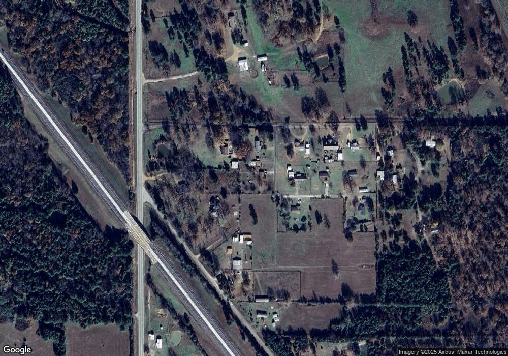
Map
Nearby Homes
- 416381 E 1935 Rd
- 415229 N Hall Rd
- 708 SE 7th Place
- 906 Powell Dr
- 1000 SE 3rd St
- 903 SW Andrew Arnote Dr
- 0 Milam Rd
- 0000 E1930 Rd
- 207 SE K St
- 0 Lake Unit 2518317
- Deer Cut Road
- 15 Antlers Rd
- 157 N 4160
- 217 NW E St
- 0000 2nd St
- Lot 6-9 2nd St
- Lots 58-84 2nd St
- 2800 2nd St
- 709 NE 2nd St
- 190855 Us Highway 271
- 193527 N 4162 Rd Unit CEDAR
- 416122 E 1935 Rd
- 416122 E 1935 Rd
- 105 Nekoosa Dr
- 416299 E 1936 Rd
- 101 Nekoosa Dr
- 416393 E 1935 Rd
- 193832 Us Highway 271
- 416178 E 1940 Rd
- 416010 E 1940 Rd
- 194069 Us Highway 271
- 193245 U S 271
- 194207 Us Highway 271
- 194246 Us Highway 271
- 1 N Hall Rd
- 2 N Hall Rd
- 192895 Us Highway 271
- 192950 Us Highway 271
- 4 N Hall Rd
- 1999 Hall Rd